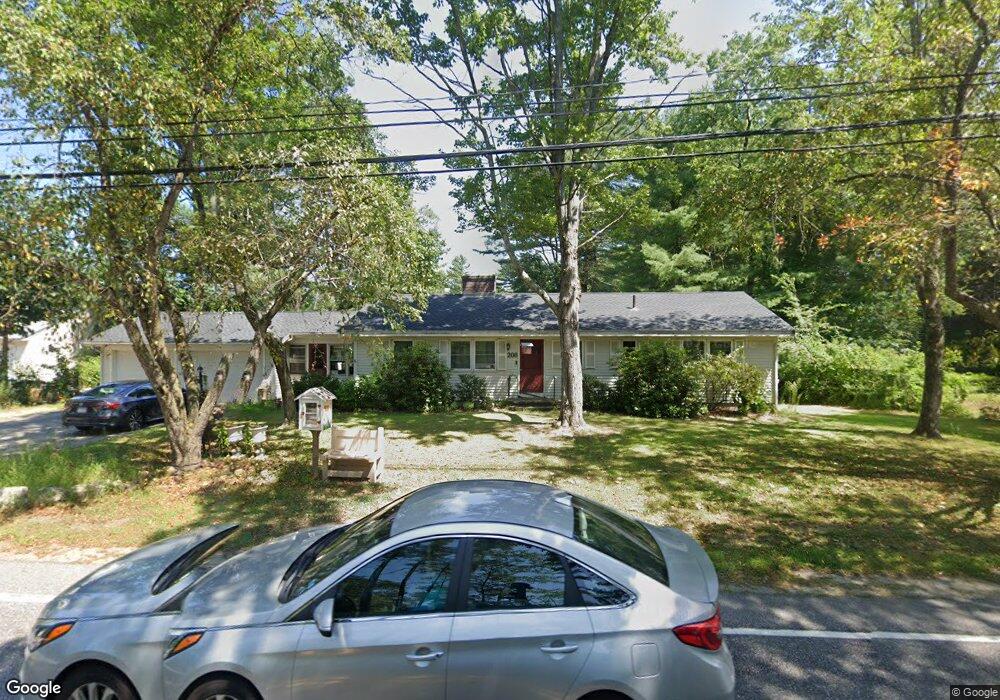
206 E Side Dr Concord, NH 03301
East Concord NeighborhoodEstimated Value: $468,000 - $485,000
3
Beds
3
Baths
1,404
Sq Ft
$340/Sq Ft
Est. Value
About This Home
This home is located at 206 E Side Dr, Concord, NH 03301 and is currently estimated at $477,125, approximately $339 per square foot. 206 E Side Dr is a home located in Merrimack County with nearby schools including Broken Ground School, Rundlett Middle School, and Concord High School.
Ownership History
Date
Name
Owned For
Owner Type
Purchase Details
Closed on
May 20, 2020
Sold by
Foley Lindsey B and Foley Meghan
Bought by
Goodwin Adam
Current Estimated Value
Home Financials for this Owner
Home Financials are based on the most recent Mortgage that was taken out on this home.
Original Mortgage
$260,200
Outstanding Balance
$228,543
Interest Rate
3.3%
Mortgage Type
FHA
Estimated Equity
$248,582
Create a Home Valuation Report for This Property
The Home Valuation Report is an in-depth analysis detailing your home's value as well as a comparison with similar homes in the area
Home Values in the Area
Average Home Value in this Area
Purchase History
| Date | Buyer | Sale Price | Title Company |
|---|---|---|---|
| Goodwin Adam | $265,000 | None Available |
Source: Public Records
Mortgage History
| Date | Status | Borrower | Loan Amount |
|---|---|---|---|
| Open | Goodwin Adam | $260,200 |
Source: Public Records
Tax History
| Year | Tax Paid | Tax Assessment Tax Assessment Total Assessment is a certain percentage of the fair market value that is determined by local assessors to be the total taxable value of land and additions on the property. | Land | Improvement |
|---|---|---|---|---|
| 2025 | $9,999 | $343,500 | $107,500 | $236,000 |
| 2024 | $9,512 | $343,500 | $107,500 | $236,000 |
| 2023 | $9,226 | $343,500 | $107,500 | $236,000 |
| 2022 | $8,893 | $343,500 | $107,500 | $236,000 |
| 2021 | $8,521 | $339,200 | $107,500 | $231,700 |
| 2020 | $7,867 | $294,000 | $79,100 | $214,900 |
| 2019 | $7,803 | $280,900 | $75,500 | $205,400 |
| 2018 | $7,214 | $255,900 | $75,500 | $180,400 |
| 2017 | $6,792 | $240,500 | $72,000 | $168,500 |
| 2016 | $923 | $240,900 | $72,000 | $168,900 |
| 2015 | $735 | $210,700 | $64,800 | $145,900 |
| 2014 | $80 | $210,700 | $64,800 | $145,900 |
| 2013 | -- | $206,800 | $64,800 | $142,000 |
| 2012 | -- | $204,300 | $64,800 | $139,500 |
Source: Public Records
Map
Nearby Homes
- 21 Dominique Dr
- 11 Eastman St
- 46 Pekoe Dr
- 61 Mountain Rd
- 28 Stevens Dr
- 12 E Side Dr Unit 16
- 12 E Side Dr Unit 4-13
- 12 E Side Dr Unit 13
- 12 E Side Dr Unit 11
- 12 E Side Dr Unit 19
- 19 Grappone Dr
- 5 Ormond St
- 185 Loudon Rd Unit 8
- 54 NE Village Rd
- 128 Loudon Rd Unit 12F
- 30 Penacook St
- 441, 443 N State St
- 58 Branch Turnpike Unit 73
- 58 Branch Turnpike Unit 26
- 84 Branch Turnpike Unit 70
- 204 E Side Dr
- 201 E Side Dr
- 208A E Side Dr
- 26 N Curtisville Rd
- 208 E Side Dr
- 202 E Side Dr
- 209 E Side Dr
- 24 N Curtisville Rd
- 210 E Side Dr
- 22 N Curtisville Rd
- 32 N Curtisville Rd
- 82 Portsmouth St
- 211 E Side Dr
- 212 E Side Dr
- 18 N Curtisville Rd
- 198 E Side Dr
- 25 N Curtisville Rd
- 27 N Curtisville Rd
- 213 E Side Dr
- 16 N Curtisville Rd
Your Personal Tour Guide
Ask me questions while you tour the home.