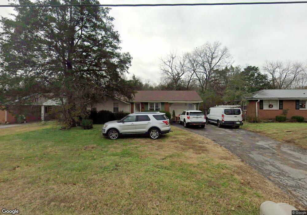
206 Ligon Dr Lebanon, TN 37087
Estimated Value: $244,282 - $361,000
--
Bed
1
Bath
1,727
Sq Ft
$181/Sq Ft
Est. Value
About This Home
This home is located at 206 Ligon Dr, Lebanon, TN 37087 and is currently estimated at $312,071, approximately $180 per square foot. 206 Ligon Dr is a home located in Wilson County with nearby schools including Byars Dowdy Elementary School, Winfree Bryant Middle School, and Lebanon High School.
Ownership History
Date
Name
Owned For
Owner Type
Purchase Details
Closed on
May 21, 2009
Sold by
Johnson Robert Wayne
Bought by
Johnson Robert Wayne
Current Estimated Value
Purchase Details
Closed on
Mar 1, 2006
Sold by
Jernigan Holli D
Bought by
Wayne Johnson Robert
Home Financials for this Owner
Home Financials are based on the most recent Mortgage that was taken out on this home.
Original Mortgage
$95,400
Interest Rate
6.88%
Purchase Details
Closed on
Mar 14, 1995
Sold by
Vantrease Eddie D
Bought by
Howell Williams Clyde
Purchase Details
Closed on
Oct 18, 1976
Bought by
Durham Johnnie and Durham Altie
Create a Home Valuation Report for This Property
The Home Valuation Report is an in-depth analysis detailing your home's value as well as a comparison with similar homes in the area
Home Values in the Area
Average Home Value in this Area
Purchase History
| Date | Buyer | Sale Price | Title Company |
|---|---|---|---|
| Johnson Robert Wayne | -- | -- | |
| Wayne Johnson Robert | $106,000 | -- | |
| Howell Williams Clyde | $68,900 | -- | |
| Durham Johnnie | -- | -- |
Source: Public Records
Mortgage History
| Date | Status | Borrower | Loan Amount |
|---|---|---|---|
| Previous Owner | Durham Johnnie | $95,400 |
Source: Public Records
Tax History Compared to Growth
Tax History
| Year | Tax Paid | Tax Assessment Tax Assessment Total Assessment is a certain percentage of the fair market value that is determined by local assessors to be the total taxable value of land and additions on the property. | Land | Improvement |
|---|---|---|---|---|
| 2024 | $1,100 | $49,850 | $11,250 | $38,600 |
| 2022 | $1,097 | $37,950 | $11,250 | $26,700 |
| 2021 | $1,097 | $37,950 | $11,250 | $26,700 |
| 2020 | $775 | $37,950 | $11,250 | $26,700 |
| 2019 | $177 | $20,600 | $7,075 | $13,525 |
| 2018 | $723 | $20,600 | $7,075 | $13,525 |
| 2017 | $723 | $20,600 | $7,075 | $13,525 |
| 2016 | $723 | $20,600 | $7,075 | $13,525 |
| 2015 | $747 | $20,600 | $7,075 | $13,525 |
| 2014 | $640 | $17,653 | $0 | $0 |
Source: Public Records
Map
Nearby Homes
- 116 Maple View Rd
- 100 Maple View Dr
- 113 Holloway Dr
- 120 Holloway Dr
- 319 June Dr
- 114 Hankins Dr
- 200 Castlewood Ln
- 203 W Adams Ave
- 118 Castlewood Ln
- 400 Castlewood Ln
- 249 Hazel Ln
- 1115 Joe Martin Ln
- 257 Hazel Ln
- 110 E Adams Ave
- 1137 Fiona Dr
- 521 S Maple St
- 908 Long Leaf Rd
- 721 Kent Dr
- 0 SE Tater Peeler Rd
- 719 Kent Dr