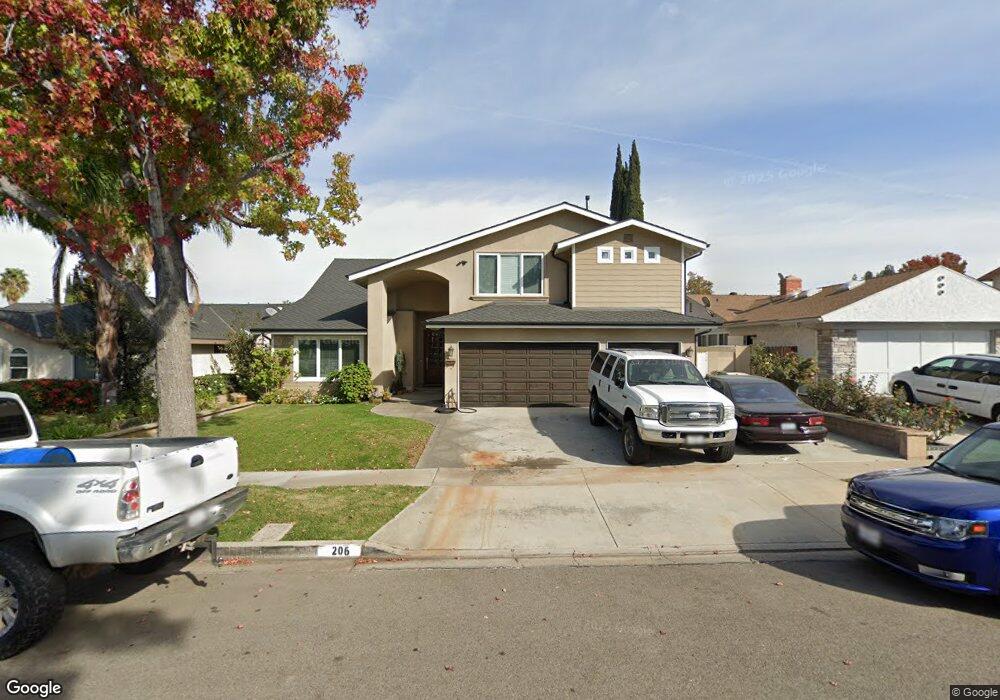
206 N Bluerock St Anaheim, CA 92807
Anaheim Hills NeighborhoodEstimated Value: $1,175,000 - $1,471,584
4
Beds
5
Baths
3,086
Sq Ft
$419/Sq Ft
Est. Value
About This Home
This home is located at 206 N Bluerock St, Anaheim, CA 92807 and is currently estimated at $1,293,396, approximately $419 per square foot. 206 N Bluerock St is a home located in Orange County with nearby schools including Olive Elementary School, Canyon High School, and El Rancho Charter.
Ownership History
Date
Name
Owned For
Owner Type
Purchase Details
Closed on
May 3, 2000
Sold by
Boros Les
Bought by
Declark Michael Dale and Declark Gina Marie
Current Estimated Value
Home Financials for this Owner
Home Financials are based on the most recent Mortgage that was taken out on this home.
Original Mortgage
$206,000
Interest Rate
8.62%
Create a Home Valuation Report for This Property
The Home Valuation Report is an in-depth analysis detailing your home's value as well as a comparison with similar homes in the area
Home Values in the Area
Average Home Value in this Area
Purchase History
| Date | Buyer | Sale Price | Title Company |
|---|---|---|---|
| Declark Michael Dale | $257,500 | North American Title |
Source: Public Records
Mortgage History
| Date | Status | Borrower | Loan Amount |
|---|---|---|---|
| Previous Owner | Declark Michael Dale | $206,000 |
Source: Public Records
Tax History Compared to Growth
Tax History
| Year | Tax Paid | Tax Assessment Tax Assessment Total Assessment is a certain percentage of the fair market value that is determined by local assessors to be the total taxable value of land and additions on the property. | Land | Improvement |
|---|---|---|---|---|
| 2025 | $5,777 | $526,720 | $295,749 | $230,971 |
| 2024 | $5,777 | $516,393 | $289,950 | $226,443 |
| 2023 | $5,647 | $506,268 | $284,265 | $222,003 |
| 2022 | $5,535 | $496,342 | $278,692 | $217,650 |
| 2021 | $5,381 | $486,610 | $273,227 | $213,383 |
| 2020 | $5,330 | $481,621 | $270,425 | $211,196 |
| 2019 | $5,263 | $472,178 | $265,123 | $207,055 |
| 2018 | $5,182 | $462,920 | $259,924 | $202,996 |
| 2017 | $4,967 | $453,844 | $254,828 | $199,016 |
| 2016 | $4,870 | $444,946 | $249,832 | $195,114 |
| 2015 | $4,806 | $438,263 | $246,079 | $192,184 |
| 2014 | $4,703 | $429,679 | $241,259 | $188,420 |
Source: Public Records
Map
Nearby Homes
- 408 N Torrens St
- 4433 E Lani Ave
- 4809 E Wasatch Dr
- 4864 E Mckinnon Dr
- 4263 E Ranch Gate Rd
- 500 N Tustin Ave Unit 218
- 451 S Wishing Well Ln
- 5059 E Crescent Dr
- 307 N Tustin Ave
- 419 N Tustin Ave
- 3211 E Mandeville Place
- 4179 N Santa Lucia St
- 580 S Londerry Ln
- 3148 E East Abbey Ln
- 4062 N Santa Anita St
- 420 S Rolling Hills Place
- 3216 E Ridgeway Rd
- 2821 E Echo Hill Way
- 1952 Avenida Del Sol
- 1963 Via de la Luna
- 212 N Bluerock St
- 200 N Bluerock St
- 207 N Sweetwater St
- 213 N Sweetwater St
- 218 N Bluerock St
- 140 N Bluerock St
- 201 N Sweetwater St
- 219 N Sweetwater St
- 4358 E Holtwood Ave
- 222 N Bluerock St
- 136 N Bluerock St
- 139 N Sweetwater St
- 223 N Sweetwater St
- 4359 E Elkstone Ave
- 4359 E Holtwood Ave
- 4354 E Holtwood Ave
- 227 N Sweetwater St
- 226 N Bluerock St
- 130 N Bluerock St
- 4355 E Elkstone Ave