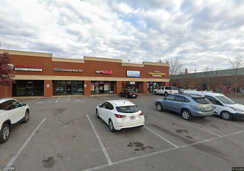
206 N Thompson Ln D Murfreesboro, TN 37129
Estimated Value: $2,810,765
--
Bed
--
Bath
1
Sq Ft
$2,810,765/Sq Ft
Est. Value
About This Home
This home is located at 206 N Thompson Ln D, Murfreesboro, TN 37129 and is currently estimated at $2,810,765, approximately $2,810,765 per square foot. 206 N Thompson Ln D is a home located in Rutherford County with nearby schools including Mitchell-Neilson Elementary, Brown's Chapel Elementary School, and Blackman Middle School.
Ownership History
Date
Name
Owned For
Owner Type
Purchase Details
Closed on
Feb 16, 2021
Sold by
Agnihotri Pradeep and Agnihotri Ranjna
Bought by
Sawiers Meland and Sawiers Kathy
Current Estimated Value
Home Financials for this Owner
Home Financials are based on the most recent Mortgage that was taken out on this home.
Original Mortgage
$1,000,000
Outstanding Balance
$735,374
Interest Rate
2.65%
Mortgage Type
Commercial
Estimated Equity
$2,075,391
Purchase Details
Closed on
Oct 26, 2005
Sold by
Bankamerica Corporation
Bought by
Agnihotri and Ranjna
Create a Home Valuation Report for This Property
The Home Valuation Report is an in-depth analysis detailing your home's value as well as a comparison with similar homes in the area
Home Values in the Area
Average Home Value in this Area
Purchase History
| Date | Buyer | Sale Price | Title Company |
|---|---|---|---|
| Sawiers Meland | $1,900,000 | Wagon Wheel Title | |
| Agnihotri | $581,328 | -- |
Source: Public Records
Mortgage History
| Date | Status | Borrower | Loan Amount |
|---|---|---|---|
| Open | Sawiers Meland | $1,000,000 |
Source: Public Records
Tax History Compared to Growth
Tax History
| Year | Tax Paid | Tax Assessment Tax Assessment Total Assessment is a certain percentage of the fair market value that is determined by local assessors to be the total taxable value of land and additions on the property. | Land | Improvement |
|---|---|---|---|---|
| 2025 | $20,445 | $722,760 | $361,640 | $361,120 |
| 2024 | $20,445 | $725,960 | $361,640 | $364,320 |
| 2023 | $13,620 | $725,960 | $361,640 | $364,320 |
| 2022 | $11,733 | $725,960 | $361,640 | $364,320 |
| 2021 | $11,971 | $539,360 | $274,000 | $265,360 |
| 2020 | $11,971 | $539,360 | $274,000 | $265,360 |
| 2019 | $11,971 | $539,360 | $274,000 | $265,360 |
Source: Public Records
Map
Nearby Homes
- 820 N Thompson Ln Unit 2F
- 820 N Thompson Ln Unit 2A
- 820 N Thompson Ln Unit 4F
- 820 N Thompson Ln Unit 2B
- 820 N Thompson Ln Unit 4E
- 2121 River Chase Dr
- 539 River Rock Blvd
- 2113 River Chase Dr
- 2123 River Chase Dr
- 2414 Spaulding Cir
- 1500 Medical Center Pkwy Unit 301
- 1500 Medical Center Pkwy Unit 304
- 1500 Medical Center Pkwy Unit 308
- 1500 Medical Center Pkwy Unit 310
- 647 Stonetrace Dr
- 601 Gresham Ln
- 627 Tidesridge Ct
- 725 Stonetrace Dr
- 2905 Stonehedge Dr
- 2301 Miranda Dr
- 7654 Wayana Dr
- 7613 Danswerk Dr
- 115 N Thompson Ln
- 230 N Thompson Ln
- 225 N Thompson Ln
- 8204A N Thompson Ln
- 8 N Thompson Ln
- 0 Robert Rose Dr
- 1990 Old Fort Pkwy
- 240 Robert Rose Dr
- 423 N Thompson Ln
- 2181 Old Fort Pkwy
- 2227 Old Fort Pkwy Unit 71
- 451 N Thompson Ln
- 215 Robert Rose Dr
- 5 Old Fort Pkwy
- 210 Robert Rose Dr
- 171 Beulah Rose Drive #171
- 165 Beulah Rose Drive #165
- 167 Beulah Rose Drive #167