206 Owens Ln Mauldin, SC 29662
Estimated Value: $338,000 - $1,016,305
--
Bed
--
Bath
--
Sq Ft
2.45
Acres
About This Home
This home is located at 206 Owens Ln, Mauldin, SC 29662 and is currently estimated at $581,102. 206 Owens Ln is a home with nearby schools including Greenbrier Elementary School, Mauldin Middle School, and Mauldin High School.
Ownership History
Date
Name
Owned For
Owner Type
Purchase Details
Closed on
Apr 9, 2019
Sold by
Crick Alan W and Crick Wayne
Bought by
Crick Rental Properties Llc
Current Estimated Value
Purchase Details
Closed on
Sep 24, 2015
Sold by
Maulding Properties Inc
Bought by
Crick Alan W
Home Financials for this Owner
Home Financials are based on the most recent Mortgage that was taken out on this home.
Original Mortgage
$425,000
Interest Rate
3.97%
Mortgage Type
New Conventional
Create a Home Valuation Report for This Property
The Home Valuation Report is an in-depth analysis detailing your home's value as well as a comparison with similar homes in the area
Home Values in the Area
Average Home Value in this Area
Purchase History
| Date | Buyer | Sale Price | Title Company |
|---|---|---|---|
| Crick Rental Properties Llc | -- | None Available | |
| Crick Alan W | $600,000 | -- |
Source: Public Records
Mortgage History
| Date | Status | Borrower | Loan Amount |
|---|---|---|---|
| Closed | Crick Alan W | $425,000 |
Source: Public Records
Tax History Compared to Growth
Tax History
| Year | Tax Paid | Tax Assessment Tax Assessment Total Assessment is a certain percentage of the fair market value that is determined by local assessors to be the total taxable value of land and additions on the property. | Land | Improvement |
|---|---|---|---|---|
| 2024 | $6,065 | $17,500 | $4,800 | $12,700 |
| 2023 | $6,065 | $17,500 | $4,800 | $12,700 |
| 2022 | $5,696 | $17,500 | $4,800 | $12,700 |
| 2021 | $5,619 | $17,500 | $4,800 | $12,700 |
| 2020 | $5,532 | $16,380 | $4,800 | $11,580 |
| 2019 | $5,533 | $16,380 | $4,800 | $11,580 |
| 2018 | $5,428 | $16,380 | $4,800 | $11,580 |
| 2017 | $5,345 | $16,380 | $0 | $0 |
| 2016 | $5,217 | $273,150 | $80,080 | $193,070 |
| 2015 | $5,217 | $273,150 | $80,080 | $193,070 |
| 2014 | $4,993 | $264,110 | $80,080 | $184,030 |
Source: Public Records
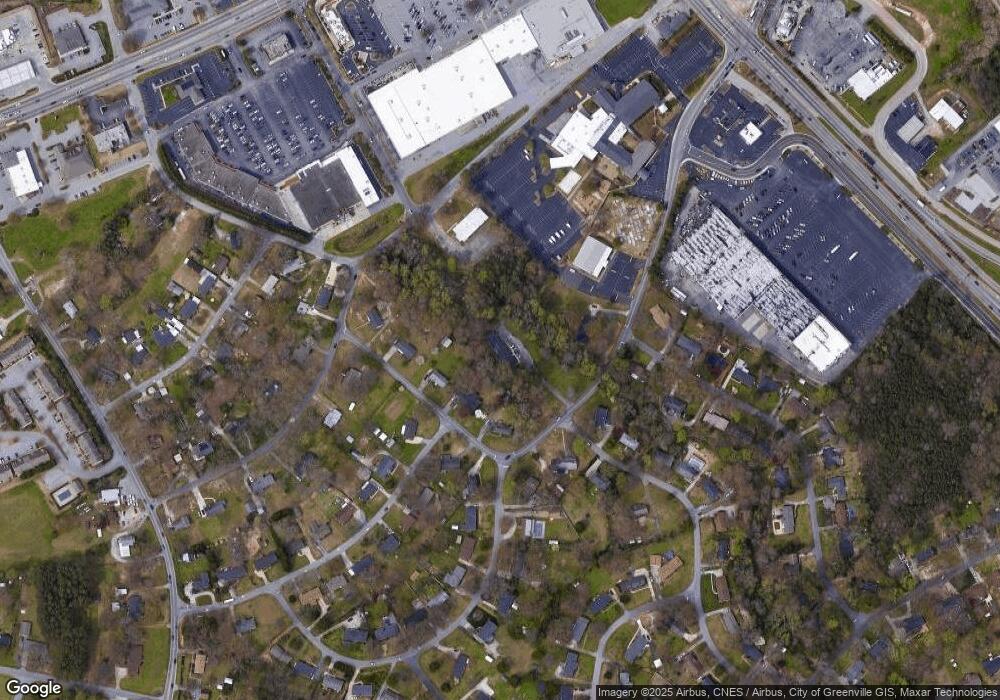
Map
Nearby Homes
- 301 Crestwood Dr
- 302 Rosewood Cir
- 113 Carlton Dr
- 315 Rosewood Cir
- 511 Fagin Cir
- 108 Pinehurst Dr
- 66 Sikes Cir
- 309 Garrett St
- 327 Nantallah Trail
- 252 Santorini Way
- 240 Santorini Way
- 242 Santorini Way
- 254 Santorini Way
- 20 Golden Apple Trail
- 101 Lawnfield St
- 202 N Main St
- 17 Golden Apple Trail
- 220 Horse Tack Trail
- 310 Ashmore Bridge Rd
- 147 Trailside Ln
- 107 Peachtree Ln
- 105 Peachtree Ln
- 109 Peachtree Ln
- 103 Peachtree Ln
- 203 Whatley Cir
- 300 Maple Dr
- 301 Maple Dr
- 101 Lanier Ln
- 209 Owens Ln
- 300 Rosewood Cir
- 303 Crestwood Dr
- 100 Carlton Dr
- 301 Rosewood Cir
- 302 Maple Dr
- 103 Lanier Ln
- 101 Carlton Dr
- 303 Maple Dr
- 102 Lanier Ln
- 305 Crestwood Dr
- 302 Crestwood Dr