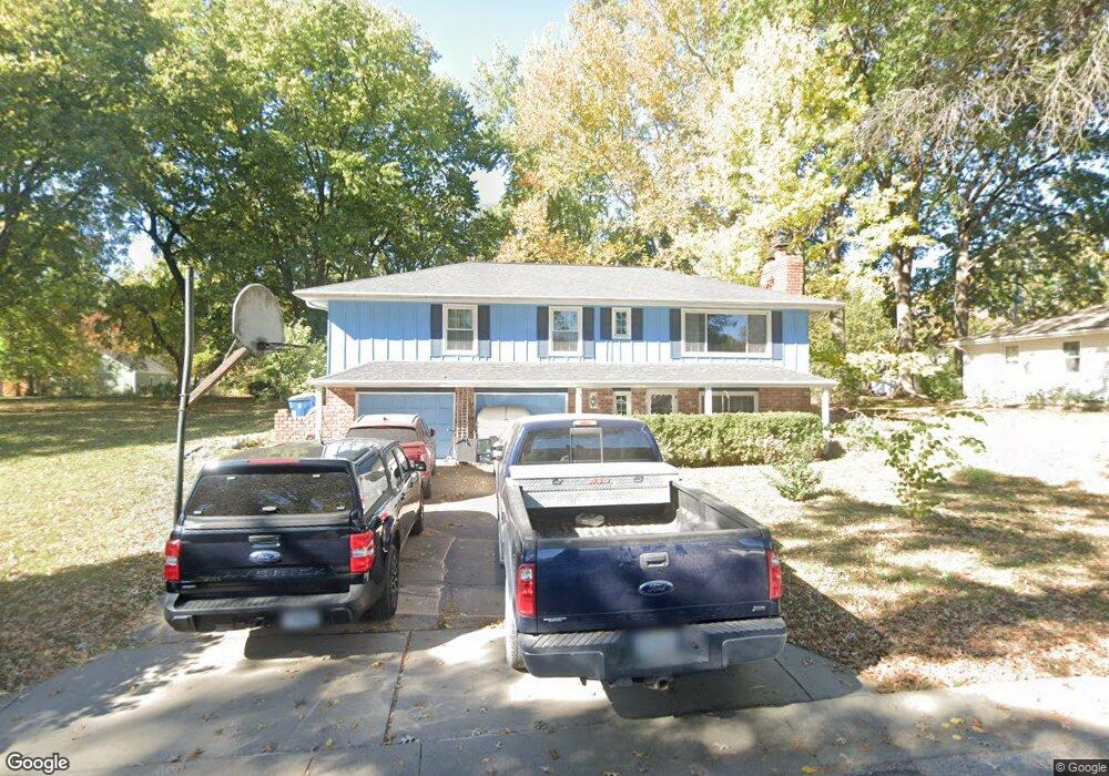
206 Rex Rd Liberty, MO 64068
Estimated Value: $248,429 - $285,000
3
Beds
--
Bath
1,248
Sq Ft
$214/Sq Ft
Est. Value
About This Home
This home is located at 206 Rex Rd, Liberty, MO 64068 and is currently estimated at $267,357, approximately $214 per square foot. 206 Rex Rd is a home located in Clay County with nearby schools including Alexander Doniphan Elementary School, Discovery Middle School, and Liberty High School.
Ownership History
Date
Name
Owned For
Owner Type
Purchase Details
Closed on
May 22, 2008
Sold by
Krall John L
Bought by
Jonaitis Anthony G
Current Estimated Value
Home Financials for this Owner
Home Financials are based on the most recent Mortgage that was taken out on this home.
Original Mortgage
$133,200
Interest Rate
5.86%
Mortgage Type
Purchase Money Mortgage
Purchase Details
Closed on
Mar 20, 2003
Sold by
Krall John L and Krall Dorothy C
Bought by
Krall John L and Krall Dorothy C
Home Financials for this Owner
Home Financials are based on the most recent Mortgage that was taken out on this home.
Original Mortgage
$96,000
Interest Rate
5.12%
Create a Home Valuation Report for This Property
The Home Valuation Report is an in-depth analysis detailing your home's value as well as a comparison with similar homes in the area
Home Values in the Area
Average Home Value in this Area
Purchase History
| Date | Buyer | Sale Price | Title Company |
|---|---|---|---|
| Jonaitis Anthony G | -- | Stewart Title | |
| Krall John L | -- | United Title Company Inc |
Source: Public Records
Mortgage History
| Date | Status | Borrower | Loan Amount |
|---|---|---|---|
| Closed | Jonaitis Anthony G | $133,200 | |
| Previous Owner | Krall John L | $96,000 |
Source: Public Records
Tax History
| Year | Tax Paid | Tax Assessment Tax Assessment Total Assessment is a certain percentage of the fair market value that is determined by local assessors to be the total taxable value of land and additions on the property. | Land | Improvement |
|---|---|---|---|---|
| 2025 | $2,312 | $35,490 | -- | -- |
| 2024 | $2,312 | $31,310 | -- | -- |
| 2023 | $2,345 | $31,310 | $0 | $0 |
| 2022 | $2,236 | $29,510 | $0 | $0 |
| 2021 | $2,245 | $29,507 | $6,042 | $23,465 |
| 2020 | $2,321 | $28,790 | $0 | $0 |
| 2019 | $2,323 | $28,790 | $0 | $0 |
| 2018 | $1,882 | $22,910 | $0 | $0 |
| 2017 | $1,862 | $22,910 | $3,420 | $19,490 |
| 2016 | $1,862 | $22,910 | $3,420 | $19,490 |
| 2015 | $1,862 | $22,910 | $3,420 | $19,490 |
| 2014 | $1,914 | $23,500 | $3,420 | $20,080 |
Source: Public Records
Map
Nearby Homes
- 405 Wherritt Ln
- 1561 Parkside Dr
- 2116 Winding Woods Dr
- 1601 Dunwich Dr
- 1849 Arbor Trail
- 1845 Arbor Trail
- 1836 Green Meadow Dr
- 2153 Black Walnut Dr
- 2152 Black Walnut Dr
- 2157 Black Walnut Dr
- 1856 Arbor Trail
- 1929 Longview Dr
- 1975 Harvest Rd
- 1979 Harvest Rd
- 1971 Harvest Rd
- 2156 Black Walnut Dr
- 429 Pershing St
- 1829 Green Meadow Dr
- 1985 Longview Dr
- 1916 Longview Dr
Your Personal Tour Guide
Ask me questions while you tour the home.