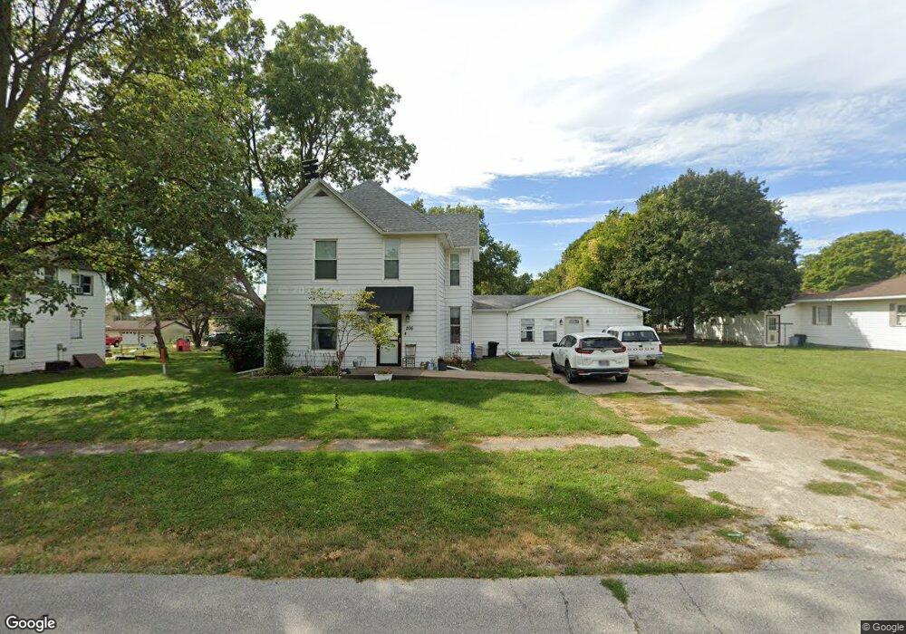
206 S Clark St Winfield, IA 52659
Estimated Value: $117,000 - $141,000
3
Beds
1
Bath
2,694
Sq Ft
$47/Sq Ft
Est. Value
About This Home
This home is located at 206 S Clark St, Winfield, IA 52659 and is currently estimated at $126,947, approximately $47 per square foot. 206 S Clark St is a home with nearby schools including Winfield Elementary School and Winfield Mt. Union High School.
Ownership History
Date
Name
Owned For
Owner Type
Purchase Details
Closed on
Sep 3, 2020
Sold by
Liles Amy and Liles Joseph S
Bought by
Fenton Olivia R
Current Estimated Value
Home Financials for this Owner
Home Financials are based on the most recent Mortgage that was taken out on this home.
Original Mortgage
$82,450
Outstanding Balance
$73,033
Interest Rate
2.8%
Mortgage Type
New Conventional
Estimated Equity
$53,914
Purchase Details
Closed on
Feb 15, 2008
Sold by
Winfield Mt Union Community School Distr
Bought by
Liles Amy
Home Financials for this Owner
Home Financials are based on the most recent Mortgage that was taken out on this home.
Original Mortgage
$57,500
Interest Rate
5.75%
Mortgage Type
Commercial
Create a Home Valuation Report for This Property
The Home Valuation Report is an in-depth analysis detailing your home's value as well as a comparison with similar homes in the area
Home Values in the Area
Average Home Value in this Area
Purchase History
| Date | Buyer | Sale Price | Title Company |
|---|---|---|---|
| Fenton Olivia R | $85,000 | None Available | |
| Liles Amy | -- | None Available |
Source: Public Records
Mortgage History
| Date | Status | Borrower | Loan Amount |
|---|---|---|---|
| Open | Fenton Olivia R | $82,450 | |
| Previous Owner | Liles Amy | $57,500 |
Source: Public Records
Tax History Compared to Growth
Tax History
| Year | Tax Paid | Tax Assessment Tax Assessment Total Assessment is a certain percentage of the fair market value that is determined by local assessors to be the total taxable value of land and additions on the property. | Land | Improvement |
|---|---|---|---|---|
| 2024 | $1,196 | $80,240 | $7,680 | $72,560 |
| 2023 | $1,102 | $80,240 | $7,680 | $72,560 |
| 2022 | $1,076 | $63,220 | $7,680 | $55,540 |
| 2021 | $1,076 | $63,220 | $7,680 | $55,540 |
| 2020 | $1,200 | $58,940 | $7,680 | $51,260 |
| 2019 | $1,228 | $60,390 | $0 | $0 |
| 2018 | $914 | $47,290 | $0 | $0 |
| 2017 | $914 | $46,350 | $0 | $0 |
| 2016 | $840 | $46,350 | $0 | $0 |
| 2015 | $840 | $47,080 | $0 | $0 |
| 2014 | $1,526 | $46,800 | $0 | $0 |
Source: Public Records
Map
Nearby Homes
- 208 S Clark St
- 204 S Clark St
- 210 S Clark St
- 202 S Clark St
- 211 S Bashford St
- 212 S Clark St
- 209 W Pine St
- 501 W Pine St
- 201 S Bashford St
- 308 W Central Ave
- 110 S Clark St
- 310 W Central Ave
- 210 W Pine St
- 310 W Pine St
- 206 S Bashford St
- 210 S Bashford St
- 202 S Bashford St
- 204 S Bashford St
- 106 S Clark St
- 105 S Clark St