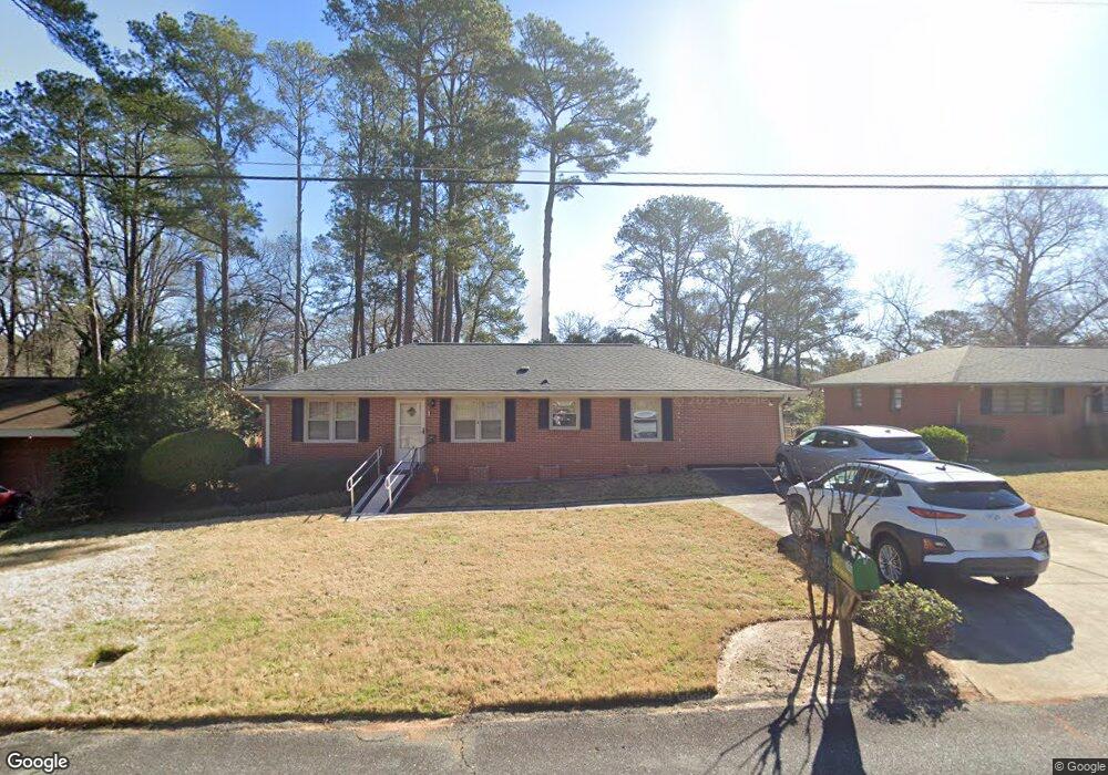
206 Springdale Dr Warner Robins, GA 31088
Estimated Value: $164,000 - $186,157
3
Beds
2
Baths
1,872
Sq Ft
$93/Sq Ft
Est. Value
About This Home
This home is located at 206 Springdale Dr, Warner Robins, GA 31088 and is currently estimated at $174,789, approximately $93 per square foot. 206 Springdale Dr is a home located in Houston County with nearby schools including Miller Elementary School, Warner Robins Middle School, and Warner Robins High School.
Ownership History
Date
Name
Owned For
Owner Type
Purchase Details
Closed on
Jan 26, 2011
Sold by
Secretary Of Veterans Affairs
Bought by
Meredith Forrest L and Meredith Lois M
Current Estimated Value
Purchase Details
Closed on
Aug 3, 2010
Sold by
Wells Fargo Bank Na
Bought by
Secretary Of Veterans Affairs
Purchase Details
Closed on
May 19, 2006
Sold by
Granum Iver I and Granum Eleanor R
Bought by
Evans Matthew J
Home Financials for this Owner
Home Financials are based on the most recent Mortgage that was taken out on this home.
Original Mortgage
$102,150
Interest Rate
6.39%
Mortgage Type
VA
Purchase Details
Closed on
Sep 7, 1978
Sold by
Granum Iver L
Bought by
Granum Iver L and Granum Eleanor R
Purchase Details
Closed on
Jul 11, 1958
Bought by
Granum Iver L
Create a Home Valuation Report for This Property
The Home Valuation Report is an in-depth analysis detailing your home's value as well as a comparison with similar homes in the area
Home Values in the Area
Average Home Value in this Area
Purchase History
| Date | Buyer | Sale Price | Title Company |
|---|---|---|---|
| Meredith Forrest L | -- | None Available | |
| Secretary Of Veterans Affairs | -- | None Available | |
| Wells Fargo Bank Na | $102,150 | None Available | |
| Evans Matthew J | $100,000 | None Available | |
| Granum Iver L | -- | -- | |
| Granum Iver L | -- | -- |
Source: Public Records
Mortgage History
| Date | Status | Borrower | Loan Amount |
|---|---|---|---|
| Previous Owner | Evans Matthew J | $102,150 |
Source: Public Records
Tax History Compared to Growth
Tax History
| Year | Tax Paid | Tax Assessment Tax Assessment Total Assessment is a certain percentage of the fair market value that is determined by local assessors to be the total taxable value of land and additions on the property. | Land | Improvement |
|---|---|---|---|---|
| 2024 | $1,319 | $54,000 | $6,000 | $48,000 |
| 2023 | $952 | $42,520 | $3,920 | $38,600 |
| 2022 | $683 | $38,840 | $3,920 | $34,920 |
| 2021 | $616 | $35,800 | $3,920 | $31,880 |
| 2020 | $577 | $34,000 | $3,920 | $30,080 |
| 2019 | $577 | $34,000 | $3,920 | $30,080 |
| 2018 | $577 | $34,000 | $3,920 | $30,080 |
| 2017 | $578 | $34,000 | $3,920 | $30,080 |
| 2016 | $579 | $34,000 | $3,920 | $30,080 |
| 2015 | -- | $34,000 | $3,920 | $30,080 |
| 2014 | -- | $34,000 | $3,920 | $30,080 |
| 2013 | -- | $34,000 | $3,920 | $30,080 |
Source: Public Records
Map
Nearby Homes
- 504 Sunset Dr
- 213 Briarcliff Rd
- 800 N Briarcliff Rd
- 216 Randall Dr
- 113 Sandra Ave
- 103 Draper St
- 1108 Briarcliff Rd
- 214 Kingsbury Cir
- 213 Stratford Dr
- 104 Pleasant Hill Ct
- 105 Briardale Ave
- 112 Briardale Ave
- 110 Briardale Ave
- 113 Vernon Dr
- 133 Briardale Ave
- 101 Robinhood Dr
- 601 Paul St
- 344 Orchard Way
- 310 Orchard Way
- 503 Todd Cir
- 204 Springdale Dr
- 204 Springdale Dr Unit 25
- 208 Springdale Dr
- 207 Kingsway Dr
- 202 Springdale Dr
- 205 Kingsway Dr
- 209 Kingsway Dr
- 207 Springdale Dr
- 210 Springdale Dr
- 205 Springdale Dr
- 203 Kingsway Dr
- 209 Springdale Dr
- 211 Kingsway Dr
- 203 Springdale Dr
- 405 Sunset Dr
- 200 Springdale Dr
- 213 Kingsway Dr
- 614 N Briarcliff Rd
- 212 Springdale Dr
- 0 Kingsway Dr Unit 8824726