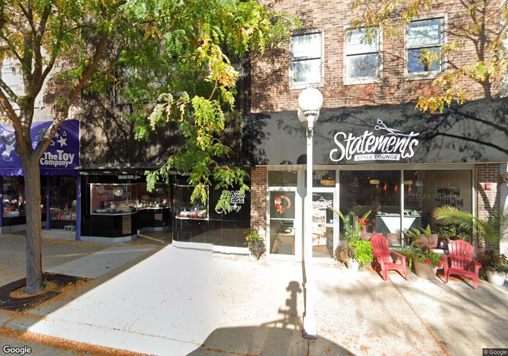
206 State St St. Joseph, MI 49085
Studio
2
Baths
2,632
Sq Ft
3,049
Sq Ft Lot
About This Home
This home is located at 206 State St, St. Joseph, MI 49085. 206 State St is a home located in Berrien County with nearby schools including Upton Middle School, St. Joseph High School, and Benton Harbor Charter School Academy.
Ownership History
Date
Name
Owned For
Owner Type
Purchase Details
Closed on
Jul 22, 2016
Sold by
1St Source Bank
Bought by
206 State Street Llc
Purchase Details
Closed on
Jun 2, 2015
Sold by
Devries James B
Bought by
Devries James B and James B Devries Trust
Purchase Details
Closed on
Jan 6, 2005
Sold by
Fuson Mickey and Fuson Norine
Bought by
Devries James B
Home Financials for this Owner
Home Financials are based on the most recent Mortgage that was taken out on this home.
Original Mortgage
$167,400
Interest Rate
5.83%
Mortgage Type
Commercial
Purchase Details
Closed on
Jun 7, 1988
Create a Home Valuation Report for This Property
The Home Valuation Report is an in-depth analysis detailing your home's value as well as a comparison with similar homes in the area
Home Values in the Area
Average Home Value in this Area
Purchase History
| Date | Buyer | Sale Price | Title Company |
|---|---|---|---|
| 206 State Street Llc | $220,100 | Multiple | |
| Devries James B | -- | Attorney | |
| Devries James B | -- | -- | |
| -- | $76,000 | -- |
Source: Public Records
Mortgage History
| Date | Status | Borrower | Loan Amount |
|---|---|---|---|
| Previous Owner | Devries James B | $167,400 |
Source: Public Records
Tax History
| Year | Tax Paid | Tax Assessment Tax Assessment Total Assessment is a certain percentage of the fair market value that is determined by local assessors to be the total taxable value of land and additions on the property. | Land | Improvement |
|---|---|---|---|---|
| 2025 | $6,608 | $165,100 | $0 | $0 |
| 2024 | $6,476 | $140,000 | $0 | $0 |
| 2023 | $6,197 | $132,000 | $0 | $0 |
| 2022 | $5,910 | $138,900 | $0 | $0 |
| 2021 | $5,821 | $125,400 | $62,700 | $62,700 |
| 2020 | $5,745 | $112,200 | $0 | $0 |
| 2019 | $5,680 | $90,600 | $31,900 | $58,700 |
| 2018 | $5,568 | $90,600 | $0 | $0 |
| 2017 | $3,823 | $86,200 | $0 | $0 |
| 2016 | $3,823 | $88,500 | $0 | $0 |
| 2015 | $3,789 | $88,600 | $0 | $0 |
| 2014 | $3,652 | $88,400 | $0 | $0 |
Source: Public Records
Map
Nearby Homes
- 327 State St Unit 2
- 240 Water St Unit 1A
- 312 Water St Unit 47
- 312 Water St Unit 52
- 403 State St Unit 3
- 260 Water St Unit 5E
- 230 Water St Unit 2
- 800 Whitwam Dr Unit 1 & 1A
- 800 Whitwam Dr Unit Slip 12
- 800 Whitwam Dr Unit Slip 14
- 800 Whitwam Dr Unit 5 & 5A
- 340 Lake St
- 197 Wayne St
- 200 Lake St Unit 3B
- 200 Lake St Unit 7A/8A
- 516 Church St
- 622 Vine St
- 907 Market St
- 619 Lake St
- 103 N Pier St
Your Personal Tour Guide
Ask me questions while you tour the home.