206 Sunset Ln Hiawatha, IA 52233
Estimated Value: $2,345,000
--
Bed
--
Bath
672
Sq Ft
$3,490/Sq Ft
Est. Value
About This Home
This home is located at 206 Sunset Ln, Hiawatha, IA 52233 and is currently estimated at $2,345,000, approximately $3,489 per square foot. 206 Sunset Ln is a home with nearby schools including Nixon Elementary School, Harding Middle School, and John F. Kennedy High School.
Ownership History
Date
Name
Owned For
Owner Type
Purchase Details
Closed on
Oct 22, 2020
Sold by
Sunset Village Mhp Llc
Bought by
Sunset Village Land Llc
Current Estimated Value
Home Financials for this Owner
Home Financials are based on the most recent Mortgage that was taken out on this home.
Original Mortgage
$2,450,000
Outstanding Balance
$1,330,837
Interest Rate
2.8%
Mortgage Type
Commercial
Estimated Equity
$1,014,163
Purchase Details
Closed on
Apr 4, 2018
Sold by
Proctor Investment Co
Bought by
Sunset Village Mhp Llc
Create a Home Valuation Report for This Property
The Home Valuation Report is an in-depth analysis detailing your home's value as well as a comparison with similar homes in the area
Home Values in the Area
Average Home Value in this Area
Purchase History
| Date | Buyer | Sale Price | Title Company |
|---|---|---|---|
| Sunset Village Land Llc | -- | None Available | |
| Sunset Village Mhp Llc | $1,475,000 | None Available |
Source: Public Records
Mortgage History
| Date | Status | Borrower | Loan Amount |
|---|---|---|---|
| Open | Sunset Village Land Llc | $2,450,000 |
Source: Public Records
Tax History Compared to Growth
Tax History
| Year | Tax Paid | Tax Assessment Tax Assessment Total Assessment is a certain percentage of the fair market value that is determined by local assessors to be the total taxable value of land and additions on the property. | Land | Improvement |
|---|---|---|---|---|
| 2025 | $8,984 | $614,000 | $128,200 | $485,800 |
| 2024 | $8,984 | $534,700 | $128,200 | $406,500 |
| 2023 | $8,984 | $534,700 | $128,200 | $406,500 |
| 2022 | $10,452 | $443,100 | $98,600 | $344,500 |
| 2021 | $9,072 | $443,100 | $98,600 | $344,500 |
| 2020 | $9,072 | $353,700 | $98,600 | $255,100 |
| 2019 | $9,604 | $353,700 | $98,600 | $255,100 |
| 2018 | $9,824 | $331,200 | $98,600 | $232,600 |
| 2017 | $10,648 | $321,600 | $98,600 | $223,000 |
| 2016 | $10,648 | $321,600 | $98,600 | $223,000 |
| 2015 | $10,922 | $316,000 | $98,600 | $217,400 |
| 2014 | $10,922 | $316,000 | $98,600 | $217,400 |
| 2013 | $11,500 | $316,000 | $98,600 | $217,400 |
Source: Public Records
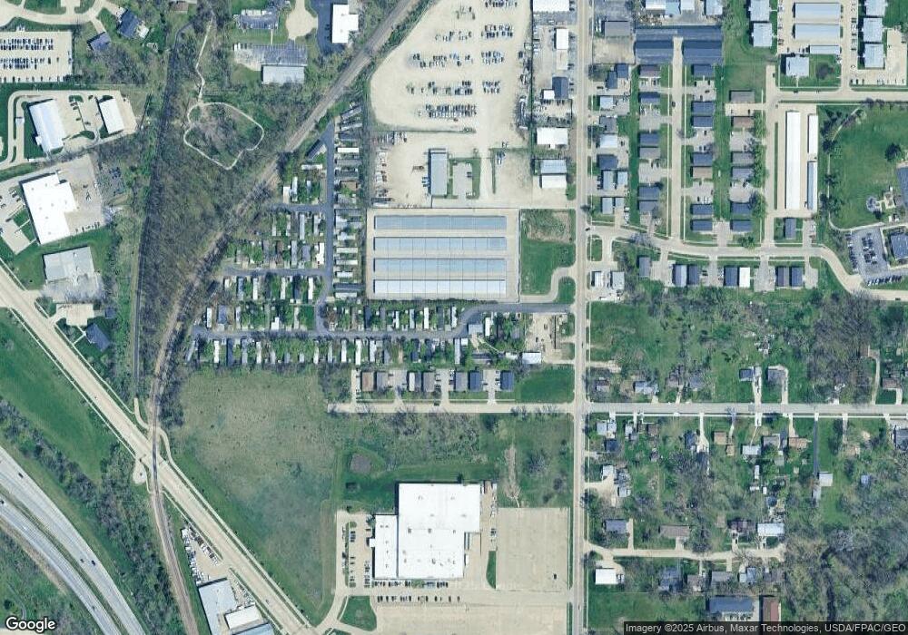
Map
Nearby Homes
- 114 Northwood Dr
- 780 Ryan Ave
- 3 N Center Point Rd
- 1 N Center Point Rd
- 250 Cimarron Dr Unit 311
- 6505 Brookview Ln NE
- 250 Cimarron Dr NE Unit 309
- 6509 Mosswood Ln NE
- 105 W Willman St
- 109 E Willman St
- 1813 Northbrook Dr NE
- 1026 Eisenhower Rd
- 5455 Blairs Ferry Rd NE
- 1708 Brookdale Ln NE
- 1617 Brookdale Ln NE
- 306 10th Ave
- 1011 Kacena Rd
- 0 Council St NE
- 1472 Tower Ln NE Unit 5
- 7016 Parkdale Ln NE
- 209 Sunset Ln
- 620 Robins Rd
- 70 Northwood Dr
- 66 Northwood Dr
- 82 Northwood Dr
- 58 Northwood Dr Unit 4
- 58 Northwood Dr Unit 3
- 58 Northwood Dr Unit 2
- 58 Northwood Dr Unit 1
- 530 Robins Rd
- 505 Robins Rd
- 565 Robins Rd
- 535 Robins Rd
- 495 Robins Rd
- 705 Robins Rd
- 104 Northwood Dr
- 103 Northwood Dr
- 465 Robins Rd
- 755 Robins Rd
- 755 Robins Rd Unit 4