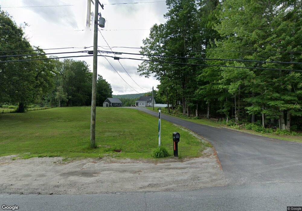
206 Unity Rd Newport, NH 03773
Estimated Value: $431,000 - $463,592
3
Beds
2
Baths
1,595
Sq Ft
$277/Sq Ft
Est. Value
About This Home
This home is located at 206 Unity Rd, Newport, NH 03773 and is currently estimated at $441,898, approximately $277 per square foot. 206 Unity Rd is a home located in Sullivan County with nearby schools including Richards Elementary School, Newport High School, and Newport Montessori School.
Ownership History
Date
Name
Owned For
Owner Type
Purchase Details
Closed on
Mar 19, 2009
Sold by
Dykeman Kathleen R
Bought by
Hanson Tami
Current Estimated Value
Home Financials for this Owner
Home Financials are based on the most recent Mortgage that was taken out on this home.
Original Mortgage
$193,775
Outstanding Balance
$123,996
Interest Rate
5.25%
Mortgage Type
Purchase Money Mortgage
Estimated Equity
$317,902
Create a Home Valuation Report for This Property
The Home Valuation Report is an in-depth analysis detailing your home's value as well as a comparison with similar homes in the area
Home Values in the Area
Average Home Value in this Area
Purchase History
| Date | Buyer | Sale Price | Title Company |
|---|---|---|---|
| Hanson Tami | $189,900 | -- |
Source: Public Records
Mortgage History
| Date | Status | Borrower | Loan Amount |
|---|---|---|---|
| Open | Hanson Tami | $193,775 | |
| Previous Owner | Hanson Tami | $10,044 |
Source: Public Records
Tax History Compared to Growth
Tax History
| Year | Tax Paid | Tax Assessment Tax Assessment Total Assessment is a certain percentage of the fair market value that is determined by local assessors to be the total taxable value of land and additions on the property. | Land | Improvement |
|---|---|---|---|---|
| 2024 | $8,256 | $339,600 | $82,500 | $257,100 |
| 2023 | $8,008 | $339,600 | $82,500 | $257,100 |
| 2022 | $7,098 | $339,600 | $82,500 | $257,100 |
| 2021 | $6,425 | $194,700 | $50,400 | $144,300 |
| 2020 | $6,445 | $194,700 | $50,400 | $144,300 |
| 2019 | $6,334 | $194,700 | $50,400 | $144,300 |
| 2018 | $5,919 | $194,700 | $50,400 | $144,300 |
| 2017 | $5,804 | $193,200 | $50,400 | $142,800 |
| 2016 | $5,502 | $191,500 | $48,800 | $142,700 |
| 2015 | $5,601 | $191,500 | $48,800 | $142,700 |
| 2014 | $5,515 | $174,300 | $48,800 | $125,500 |
| 2013 | $5,227 | $174,300 | $48,800 | $125,500 |
Source: Public Records
Map
Nearby Homes
- 0 Unity Rd
- 30 Brook View Rd
- Lot 18 River View Rd Unit 18
- 4 River View Rd Unit Lot 4 Phase II
- 20 River View Rd
- 27 River View Rd
- 214 S Main St
- 295 E Mountain Rd
- 12 4th St
- 27 People Way Unit 27
- 14 Glen Way
- 150 S Main St
- 146 Elm St
- 163 Elm St
- 38 River St
- 12 Brown Rd
- 9 High St
- 37 Park St
- 39 Myrtle St
- 29-31 Myrtle St
- 194 Unity Rd
- 214 Unity Rd
- 0 Bascom Rd
- 0 Bascom Rd Unit 4786036
- 195 Unity Rd
- 21 Falls Rd
- 199 Unity Rd
- 16 Falls Rd
- 11 Falls Rd
- 98 Pollards Mills Rd
- 223 Unity Rd
- 86 Pollards Mills Rd
- 19 Bascom Rd
- 97 Pollards Mills Rd
- 181 Unity Rd
- 10 Lucinda Circle Way
- 73 Alexander Ave
- 121 Pollards Mills Rd
- 6 Lucinda Circle Way
- 71 Pollards Mills Rd