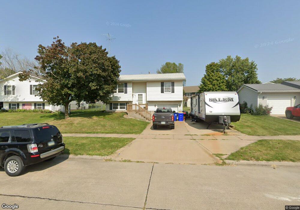
206 W Mapel Dr Lone Tree, IA 52755
Estimated Value: $179,000 - $241,000
3
Beds
3
Baths
870
Sq Ft
$234/Sq Ft
Est. Value
About This Home
This home is located at 206 W Mapel Dr, Lone Tree, IA 52755 and is currently estimated at $203,332, approximately $233 per square foot. 206 W Mapel Dr is a home located in Johnson County with nearby schools including Lone Tree Elementary School and Lone Tree Junior/Senior High School.
Ownership History
Date
Name
Owned For
Owner Type
Purchase Details
Closed on
Jul 1, 2008
Sold by
Carter Joshua D and Carter Melissa S
Bought by
Rife Jennifer L
Current Estimated Value
Home Financials for this Owner
Home Financials are based on the most recent Mortgage that was taken out on this home.
Original Mortgage
$121,300
Outstanding Balance
$85,968
Interest Rate
6.05%
Mortgage Type
USDA
Estimated Equity
$117,364
Create a Home Valuation Report for This Property
The Home Valuation Report is an in-depth analysis detailing your home's value as well as a comparison with similar homes in the area
Home Values in the Area
Average Home Value in this Area
Purchase History
| Date | Buyer | Sale Price | Title Company |
|---|---|---|---|
| Rife Jennifer L | $122,500 | None Available |
Source: Public Records
Mortgage History
| Date | Status | Borrower | Loan Amount |
|---|---|---|---|
| Open | Rife Jennifer L | $121,300 |
Source: Public Records
Tax History Compared to Growth
Tax History
| Year | Tax Paid | Tax Assessment Tax Assessment Total Assessment is a certain percentage of the fair market value that is determined by local assessors to be the total taxable value of land and additions on the property. | Land | Improvement |
|---|---|---|---|---|
| 2025 | $2,170 | $172,400 | $30,600 | $141,800 |
| 2024 | $2,106 | $167,300 | $30,600 | $136,700 |
| 2023 | $2,154 | $167,300 | $30,600 | $136,700 |
| 2022 | $2,130 | $145,600 | $24,200 | $121,400 |
| 2021 | $2,130 | $145,600 | $24,200 | $121,400 |
| 2020 | $2,130 | $139,200 | $24,200 | $115,000 |
| 2019 | $2,064 | $139,200 | $24,200 | $115,000 |
| 2018 | $2,024 | $132,800 | $24,200 | $108,600 |
| 2017 | $2,010 | $132,800 | $24,200 | $108,600 |
| 2016 | $1,920 | $124,100 | $24,200 | $99,900 |
| 2015 | $1,920 | $124,100 | $24,200 | $99,900 |
| 2014 | $1,712 | $115,400 | $24,200 | $91,200 |
Source: Public Records
Map
Nearby Homes
- 106 Dorothy Ln
- 500 S Center St
- 221 W Commercial St
- 407 E Elm St
- 201 N Devoe St
- 745 N Perkins St
- 25840 Golden Oak Ln Lot 1
- 25838 Golden Oak Ln Lot 7
- 25836 Golden Oak Ln Lot 8
- 25832 Golden Oak Ln Lot 12
- 25736 Golden Pond Ln Se Lot 17
- 25738 Golden Pond Ln Se Lot 16
- 25824 Golden Oak Ln Lot 9
- 5888 Sand Rd SE
- 1092 Walnut Ave Unit 209
- 1092 Walnut Ave Unit 114 Bld D
- Lot 2 116th Cir
- Lot 39 Walter Mapp Dr
- 2 Commercial Dr
- 1436 Vine Ave
- 208 W Mapel Dr
- 204 W Mapel Dr
- 205 W Dougherty Dr
- 207 W Dougherty Dr
- 210 W Mapel Dr
- 202 W Mapel Dr
- 209 W Dougherty Dr
- 201 W Dougherty Dr
- 212 W Mapel Dr
- 200 W Mapel Dr
- 211 W Dougherty Dr
- 209 Mapel Dr
- 113 W Dougherty Dr
- 310 W Dougherty Dr
- 214 Mapel Dr
- 308 W Dougherty Dr
- 206 W Dougherty Dr
- 112 W Mapel Dr
- 204 W Dougherty Dr
- 301 W Mapel Dr