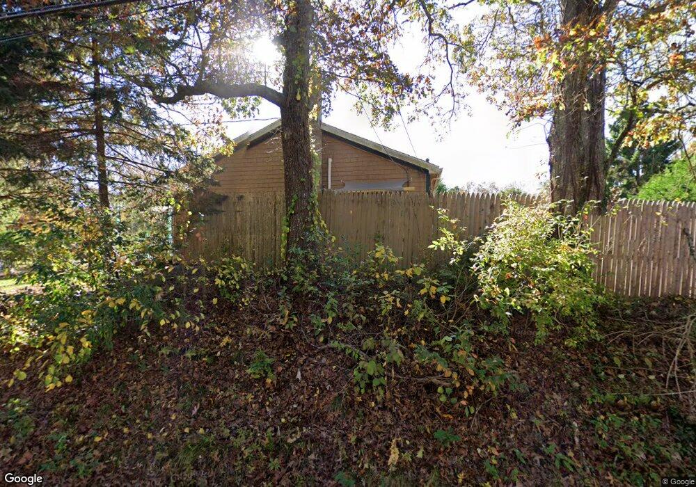
206 W Spring St Vineyard Haven, MA 02568
Vineyard Haven NeighborhoodEstimated Value: $964,407 - $1,186,000
3
Beds
2
Baths
1,040
Sq Ft
$1,046/Sq Ft
Est. Value
About This Home
This home is located at 206 W Spring St, Vineyard Haven, MA 02568 and is currently estimated at $1,088,102, approximately $1,046 per square foot. 206 W Spring St is a home located in Dukes County with nearby schools including Tisbury Elementary School, Martha's Vineyard Regional High School, and Martha's Vineyard Charter School.
Ownership History
Date
Name
Owned For
Owner Type
Purchase Details
Closed on
Oct 27, 1986
Bought by
Fullin Domenic F
Current Estimated Value
Create a Home Valuation Report for This Property
The Home Valuation Report is an in-depth analysis detailing your home's value as well as a comparison with similar homes in the area
Home Values in the Area
Average Home Value in this Area
Purchase History
| Date | Buyer | Sale Price | Title Company |
|---|---|---|---|
| Fullin Domenic F | -- | -- |
Source: Public Records
Mortgage History
| Date | Status | Borrower | Loan Amount |
|---|---|---|---|
| Open | Fullin Domenic F | $30,000 | |
| Open | Fullin Domenic F | $150,000 | |
| Closed | Fullin Domenic F | $25,000 |
Source: Public Records
Tax History Compared to Growth
Tax History
| Year | Tax Paid | Tax Assessment Tax Assessment Total Assessment is a certain percentage of the fair market value that is determined by local assessors to be the total taxable value of land and additions on the property. | Land | Improvement |
|---|---|---|---|---|
| 2025 | $6,139 | $811,000 | $399,100 | $411,900 |
| 2024 | $6,196 | $776,500 | $366,300 | $410,200 |
| 2023 | $5,569 | $760,800 | $367,200 | $393,600 |
| 2022 | $5,526 | $635,200 | $241,600 | $393,600 |
| 2021 | $5,065 | $552,300 | $241,600 | $310,700 |
| 2020 | $4,766 | $510,800 | $241,600 | $269,200 |
| 2019 | $4,513 | $492,100 | $231,100 | $261,000 |
| 2018 | $4,192 | $443,600 | $222,900 | $220,700 |
| 2017 | $3,871 | $424,900 | $225,200 | $199,700 |
| 2016 | $3,515 | $383,700 | $200,200 | $183,500 |
| 2015 | $2,951 | $330,800 | $155,500 | $175,300 |
Source: Public Records
Map
Nearby Homes
- 136 W Spring St
- 128 W Spring St
- 33 Alyssa Ln
- 50 Lantern Ln
- 51 Lantern Ln
- 249 State Rd
- 159 Lake St
- 5A2.12 State Rd
- 31 Lamberts Cove Rd
- 73 & 0 Old Country Ln
- 36 Ferro Way
- 344 Greenwood Ave
- 208 Irenes Way
- 140 Midland Ave
- 128 & 136 Spring St
- 56 Holmes Hole Rd Unit 10
- 56 Holmes Hole Rd
- 268 Tashmoo Ave
- 70 Spring St
- 15 Heath Hen Ln
- 220 W Spring St
- 236 W Spring St
- 194 W Spring St
- 16 Heath Hen Ln
- 186 W Spring St
- 26 Heath Hen Ln
- 250 W Spring St
- 172 W Spring St
- 20 Bishops Cove Way
- 55 Heath Hen Ln
- 68 Bishop's Cove Rd
- 264 W Spring St
- 7 Fawndale Rd
- 19 Fawndale Rd
- 156 W Spring St
- 52 Heath Hen Ln
- 61 Heath Hen Ln
- 270 W Spring St
- 162 W Spring St