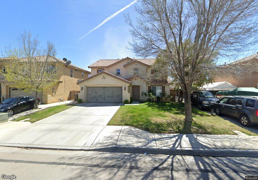
2060 Benfar Dr Lancaster, CA 93535
East Lancaster NeighborhoodEstimated Value: $499,181 - $536,000
3
Beds
3
Baths
2,548
Sq Ft
$201/Sq Ft
Est. Value
About This Home
This home is located at 2060 Benfar Dr, Lancaster, CA 93535 and is currently estimated at $513,045, approximately $201 per square foot. 2060 Benfar Dr is a home located in Los Angeles County with nearby schools including Columbia Elementary School, Gifford C. Cole Middle School, and Eastside High School.
Ownership History
Date
Name
Owned For
Owner Type
Purchase Details
Closed on
Jan 13, 2004
Sold by
Kb Home Greater Los Angeles Inc
Bought by
Sipaque Madelyn Delcarmen and Gutierrez Miriam C
Current Estimated Value
Home Financials for this Owner
Home Financials are based on the most recent Mortgage that was taken out on this home.
Original Mortgage
$261,190
Outstanding Balance
$123,164
Interest Rate
6.02%
Mortgage Type
FHA
Estimated Equity
$389,881
Purchase Details
Closed on
Jan 5, 2004
Sold by
Gutierrez Manuel
Bought by
Gutierrez Miriam C
Home Financials for this Owner
Home Financials are based on the most recent Mortgage that was taken out on this home.
Original Mortgage
$261,190
Outstanding Balance
$123,164
Interest Rate
6.02%
Mortgage Type
FHA
Estimated Equity
$389,881
Create a Home Valuation Report for This Property
The Home Valuation Report is an in-depth analysis detailing your home's value as well as a comparison with similar homes in the area
Home Values in the Area
Average Home Value in this Area
Purchase History
| Date | Buyer | Sale Price | Title Company |
|---|---|---|---|
| Sipaque Madelyn Delcarmen | $265,500 | First American Title Co | |
| Gutierrez Miriam C | -- | First American Title Co |
Source: Public Records
Mortgage History
| Date | Status | Borrower | Loan Amount |
|---|---|---|---|
| Open | Sipaque Madelyn Delcarmen | $261,190 | |
| Closed | Sipaque Madelyn Delcarmen | $7,958 |
Source: Public Records
Tax History
| Year | Tax Paid | Tax Assessment Tax Assessment Total Assessment is a certain percentage of the fair market value that is determined by local assessors to be the total taxable value of land and additions on the property. | Land | Improvement |
|---|---|---|---|---|
| 2025 | $5,835 | $377,179 | $75,486 | $301,693 |
| 2024 | $5,835 | $369,784 | $74,006 | $295,778 |
| 2023 | $5,648 | $362,534 | $72,555 | $289,979 |
| 2022 | $5,525 | $355,427 | $71,133 | $284,294 |
| 2021 | $5,164 | $348,459 | $69,739 | $278,720 |
| 2019 | $4,798 | $317,000 | $63,400 | $253,600 |
| 2018 | $4,547 | $301,000 | $60,200 | $240,800 |
| 2016 | $3,640 | $232,000 | $46,400 | $185,600 |
| 2015 | $3,462 | $218,000 | $43,600 | $174,400 |
| 2014 | $3,511 | $218,000 | $43,600 | $174,400 |
Source: Public Records
Map
Nearby Homes
- 43525 Palos Way
- 43625 Ponderosa St
- 43635 Castle Cir
- 43659 Ponderosa St
- 2203 Rosewood Ave
- 1848 Trudgeon Ave
- 2303 Rosewood Ave
- 43742 Rialto Dr
- 43850 20th St E Unit 83
- 43850 20th St E Unit 265
- 43850 20th St E Unit Spc 114
- 43850 20th St E Unit 88
- 2330 E Avenue j8 Unit 121
- 2330 E Avenue J 8 Unit 92
- 2330 E Avenue J 8 Unit 192
- 2330 E Avenue J 8 Unit 121
- 1820 E Avenue J 10
- 43824 Serenity Ct
- 1642 Bisbee Place
- 0 E Avenue K 8 Unit SR25104679
Your Personal Tour Guide
Ask me questions while you tour the home.