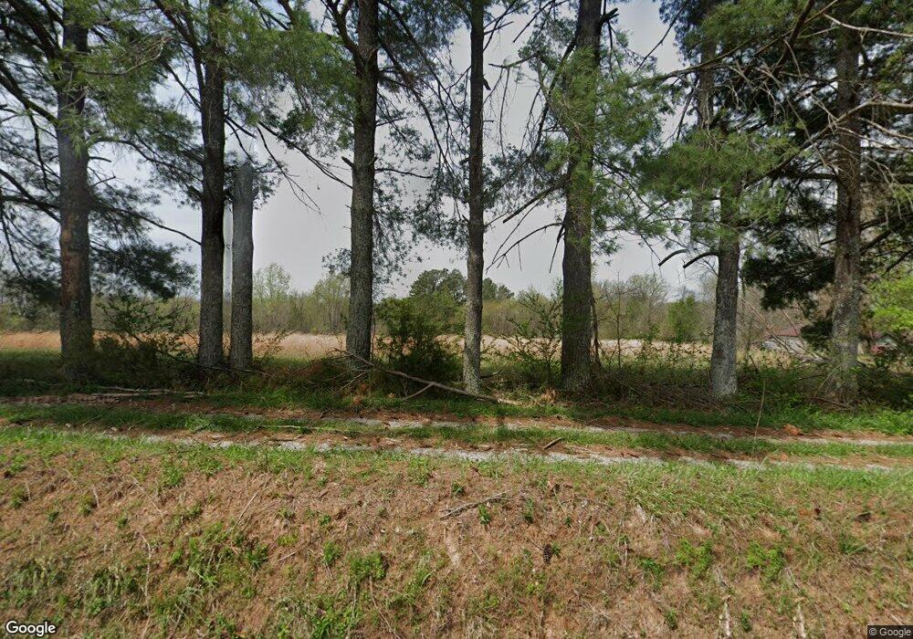
2060 Mount Zion Rd McMinnville, TN 37110
Estimated Value: $86,000 - $239,000
--
Bed
1
Bath
1,056
Sq Ft
$151/Sq Ft
Est. Value
About This Home
This home is located at 2060 Mount Zion Rd, McMinnville, TN 37110 and is currently estimated at $158,938, approximately $150 per square foot. 2060 Mount Zion Rd is a home located in Warren County with nearby schools including Morrison Elementary School and Warren County High School.
Ownership History
Date
Name
Owned For
Owner Type
Purchase Details
Closed on
Oct 21, 2021
Sold by
Nunley Milton O
Bought by
Nunley Earl D
Current Estimated Value
Purchase Details
Closed on
Jun 10, 2011
Sold by
Nunley Milton
Bought by
Nunley Earl Raymon
Purchase Details
Closed on
Mar 4, 2008
Sold by
Milton Nunley
Bought by
Barbara Nunley
Purchase Details
Closed on
Apr 23, 1997
Sold by
Barbara Nunley
Bought by
Lamuel Rogers
Purchase Details
Closed on
Apr 21, 1997
Sold by
Barbara Nunley
Bought by
Earl Nunley
Create a Home Valuation Report for This Property
The Home Valuation Report is an in-depth analysis detailing your home's value as well as a comparison with similar homes in the area
Home Values in the Area
Average Home Value in this Area
Purchase History
| Date | Buyer | Sale Price | Title Company |
|---|---|---|---|
| Nunley Earl D | -- | First Community T&E | |
| Nunley Earl Raymon | -- | -- | |
| Barbara Nunley | $25,000 | -- | |
| Lamuel Rogers | $8,800 | -- | |
| Earl Nunley | $3,000 | -- | |
| Barbara Nunley | $35,000 | -- |
Source: Public Records
Tax History Compared to Growth
Tax History
| Year | Tax Paid | Tax Assessment Tax Assessment Total Assessment is a certain percentage of the fair market value that is determined by local assessors to be the total taxable value of land and additions on the property. | Land | Improvement |
|---|---|---|---|---|
| 2024 | $354 | $17,975 | $8,275 | $9,700 |
| 2023 | $354 | $17,975 | $8,275 | $9,700 |
| 2022 | $354 | $17,975 | $8,275 | $9,700 |
| 2021 | $354 | $17,975 | $8,275 | $9,700 |
| 2020 | $312 | $17,975 | $8,275 | $9,700 |
| 2019 | $312 | $13,875 | $6,900 | $6,975 |
| 2018 | $273 | $13,875 | $6,900 | $6,975 |
| 2017 | $273 | $13,875 | $6,900 | $6,975 |
| 2016 | $273 | $13,875 | $6,900 | $6,975 |
| 2015 | $277 | $13,875 | $6,900 | $6,975 |
| 2014 | $255 | $13,875 | $6,900 | $6,975 |
| 2013 | $255 | $12,779 | $0 | $0 |
Source: Public Records
Map
Nearby Homes
- 158 Swan Mill Rd
- 200 Primrose Ln
- 421 Sherwood Dr
- 441 Sherwood Dr
- 457 Sherwood Dr
- 471 Sherwood Dr
- 470 Sherwood Dr
- 440 Sherwood Dr
- 458 Sherwood Dr
- 92 Hickory Grove Dr
- 1055 Chestnut Grove Rd
- 1066 Fults Cove
- 2411 Wheeler Rd
- 6579 Vervilla Rd
- 866 Fults Cove
- 966 Fults Cove
- 4143 Viola Rd
- 0 Chestnut Grove Rd
- 1556 Chestnut Grove Rd
- 4141 Vervilla Rd
- 1962 Mount Zion Rd
- 1959 Mount Zion Rd
- 1840 Mount Zion Rd
- 382 Bucks Ln
- 1895 Mount Zion Rd
- 300 Christopher Dr
- 2395 Mount Zion Rd
- 1717 Mount Zion Rd
- 1084 White Hall Rd
- 2522 Mount Zion Rd
- 527 Stubblefield Rd
- 0 Mount Zion Rd
- 900 White Hall Rd
- 202 Baker Rd
- 216 Baker Rd
- 149 Baker Rd
- 284 Ben Burton Rd
- 2680 Mount Zion Rd
- 181 Hillis Ln
- 184 Lupo Ln
