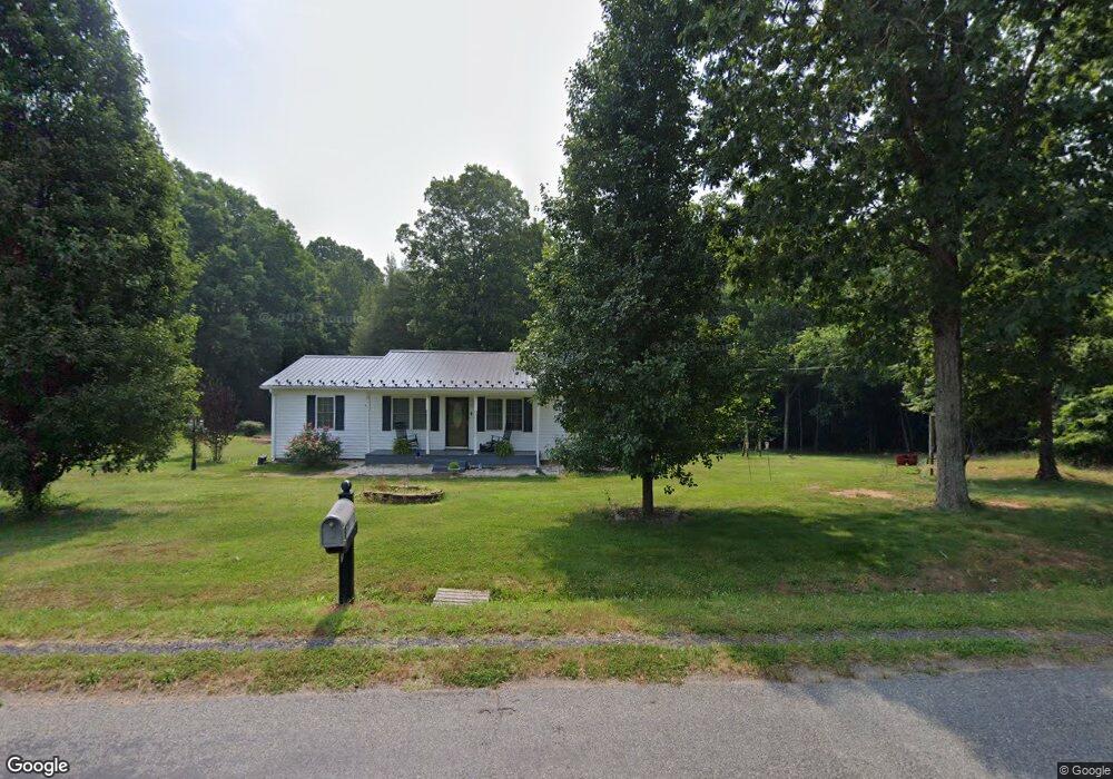
2060 Neals Corner Rd Clover, VA 24534
Estimated Value: $145,000 - $210,304
3
Beds
--
Bath
1,352
Sq Ft
$139/Sq Ft
Est. Value
About This Home
This home is located at 2060 Neals Corner Rd, Clover, VA 24534 and is currently estimated at $188,326, approximately $139 per square foot. 2060 Neals Corner Rd is a home located in Halifax County with nearby schools including Scottsburg Elementary School, Halifax County Middle School, and Halifax County High School.
Ownership History
Date
Name
Owned For
Owner Type
Purchase Details
Closed on
Jul 17, 2008
Sold by
Francis David L
Bought by
Carrington Ernest
Current Estimated Value
Home Financials for this Owner
Home Financials are based on the most recent Mortgage that was taken out on this home.
Original Mortgage
$126,810
Outstanding Balance
$82,223
Interest Rate
6.17%
Mortgage Type
FHA
Estimated Equity
$106,103
Purchase Details
Closed on
Jan 24, 2008
Sold by
Forlines Carl A
Bought by
Francis David L
Purchase Details
Closed on
Nov 13, 2007
Sold by
Collins Iola L and Foster Agent Mamie C
Bought by
Forlines Carl A
Create a Home Valuation Report for This Property
The Home Valuation Report is an in-depth analysis detailing your home's value as well as a comparison with similar homes in the area
Purchase History
| Date | Buyer | Sale Price | Title Company |
|---|---|---|---|
| Carrington Ernest | $128,800 | -- | |
| Francis David L | $29,000 | -- | |
| Forlines Carl A | $25,000 | -- |
Source: Public Records
Mortgage History
| Date | Status | Borrower | Loan Amount |
|---|---|---|---|
| Open | Forlines Carl A | $126,810 |
Source: Public Records
Tax History
| Year | Tax Paid | Tax Assessment Tax Assessment Total Assessment is a certain percentage of the fair market value that is determined by local assessors to be the total taxable value of land and additions on the property. | Land | Improvement |
|---|---|---|---|---|
| 2025 | $687 | $137,469 | $16,900 | $120,569 |
| 2024 | $681 | $136,269 | $16,900 | $119,369 |
| 2023 | $636 | $127,182 | $16,900 | $110,282 |
| 2022 | $639 | $127,861 | $16,900 | $110,961 |
| 2021 | $454 | $90,785 | $16,900 | $73,885 |
| 2020 | $454 | $90,785 | $16,900 | $73,885 |
| 2019 | $460 | $91,907 | $16,906 | $75,001 |
| 2018 | $441 | $91,907 | $16,906 | $75,001 |
| 2016 | $436 | $90,757 | $16,906 | $73,851 |
| 2015 | $436 | $90,757 | $16,906 | $73,851 |
| 2014 | $417 | $90,757 | $16,906 | $73,851 |
| 2013 | $418 | $92,994 | $16,906 | $76,088 |
Source: Public Records
Map
Nearby Homes
- 3 Acre Neals Corner Rd
- 5 Acres Neals Corner Rd
- 3.50 AC Neals Corner Rd
- 3.25 AC Neals Corner Rd
- 3.09 AC Neals Corner Rd
- 51.04 AC Neals Corner Rd
- 2.50 AC Neals Corner Rd
- 1092 Neals Corner Rd
- 4.5 AC Lloyds Mill Rd
- 2 AC Lloyds Mill Rd
- 20.27 AC Lloyds Mill Rd
- 6174 Mount Laurel Rd
- 7084 Hunting Creek Rd
- 1128 Chester Rd
- 3155 Green Valley Rd
- 3102 Green Valley Rd
- 1.5 Acre Newbill School Rd
- 0 T N Snow Rd
- 0 Scuffletown Rd Unit 57414
- 2022 Mount Laurel Rd
- 2074 Neals Corner Rd
- 2102 Neals Corner Rd
- 1028 Browns Trail
- 2108 Neals Corner Rd
- 1037 Browns Trail
- 2136 Neals Corner Rd
- 2129 Neals Corner Rd
- 2142 Neals Corner Rd
- 2127 Neals Corner Rd
- 2148 Neals Corner Rd
- 2135 Neals Corner Rd
- 1057 Browns Trail
- 2156 Neals Corner Rd
- 1067 Browns Trail
- 1221 Neals Corner Rd
- 2160 Neals Corner Rd
- 1185 Neals Corner Rd
- 2169 Neals Corner Rd
- 2173 Neals Corner Rd
- 2201 Neals Corner Rd
Your Personal Tour Guide
Ask me questions while you tour the home.