20600 County Road 96 Sauk Centre, MN 56378
Estimated Value: $404,000 - $520,000
2
Beds
1
Bath
1,580
Sq Ft
$289/Sq Ft
Est. Value
About This Home
This home is located at 20600 County Road 96, Sauk Centre, MN 56378 and is currently estimated at $456,667, approximately $289 per square foot. 20600 County Road 96 is a home located in Todd County with nearby schools including Red Rock Elementary School, Rex Bell Elementary School, and Long Prairie-Grey Secondary School.
Ownership History
Date
Name
Owned For
Owner Type
Purchase Details
Closed on
Apr 7, 2021
Sold by
Fearing Properties Llc
Bought by
Fearing Brian J
Current Estimated Value
Purchase Details
Closed on
Mar 31, 2021
Sold by
Fearing Properties Llc
Bought by
Fearing Brian J
Purchase Details
Closed on
Apr 7, 2008
Sold by
Lasalle Bank National Assocation
Bought by
Fearing Brian J
Home Financials for this Owner
Home Financials are based on the most recent Mortgage that was taken out on this home.
Original Mortgage
$140,000
Interest Rate
6.43%
Mortgage Type
Future Advance Clause Open End Mortgage
Purchase Details
Closed on
May 9, 2007
Sold by
Maahs Lwarence
Bought by
Lasalle Bank Na
Create a Home Valuation Report for This Property
The Home Valuation Report is an in-depth analysis detailing your home's value as well as a comparison with similar homes in the area
Home Values in the Area
Average Home Value in this Area
Purchase History
| Date | Buyer | Sale Price | Title Company |
|---|---|---|---|
| Fearing Brian J | -- | None Listed On Document | |
| Fearing Brian J | -- | None Listed On Document | |
| Fearing Brian J | -- | None Available | |
| Fearing Brian J | -- | None Available | |
| Fearing Brian J | $132,500 | None Available | |
| Fearing Brian J | $132,500 | None Available | |
| Lasalle Bank Na | -- | None Available | |
| Lasalle Bank Na | -- | None Available |
Source: Public Records
Mortgage History
| Date | Status | Borrower | Loan Amount |
|---|---|---|---|
| Previous Owner | Fearing Brian J | $140,000 |
Source: Public Records
Tax History Compared to Growth
Tax History
| Year | Tax Paid | Tax Assessment Tax Assessment Total Assessment is a certain percentage of the fair market value that is determined by local assessors to be the total taxable value of land and additions on the property. | Land | Improvement |
|---|---|---|---|---|
| 2025 | $3,964 | $353,600 | $138,800 | $214,800 |
| 2024 | $3,326 | $355,000 | $138,800 | $216,200 |
| 2023 | $3,516 | $337,300 | $130,200 | $207,100 |
| 2022 | $3,496 | $313,000 | $120,300 | $192,700 |
| 2021 | $2,812 | $261,500 | $106,700 | $154,800 |
| 2020 | $2,720 | $243,200 | $94,700 | $148,500 |
| 2019 | $2,644 | $227,600 | $94,700 | $132,900 |
| 2018 | $2,636 | $210,900 | $90,200 | $120,700 |
| 2017 | $2,576 | $204,000 | $84,900 | $119,100 |
| 2016 | $2,648 | $199,400 | $85,200 | $114,200 |
| 2015 | $2,570 | $0 | $0 | $0 |
| 2014 | -- | $0 | $0 | $0 |
Source: Public Records
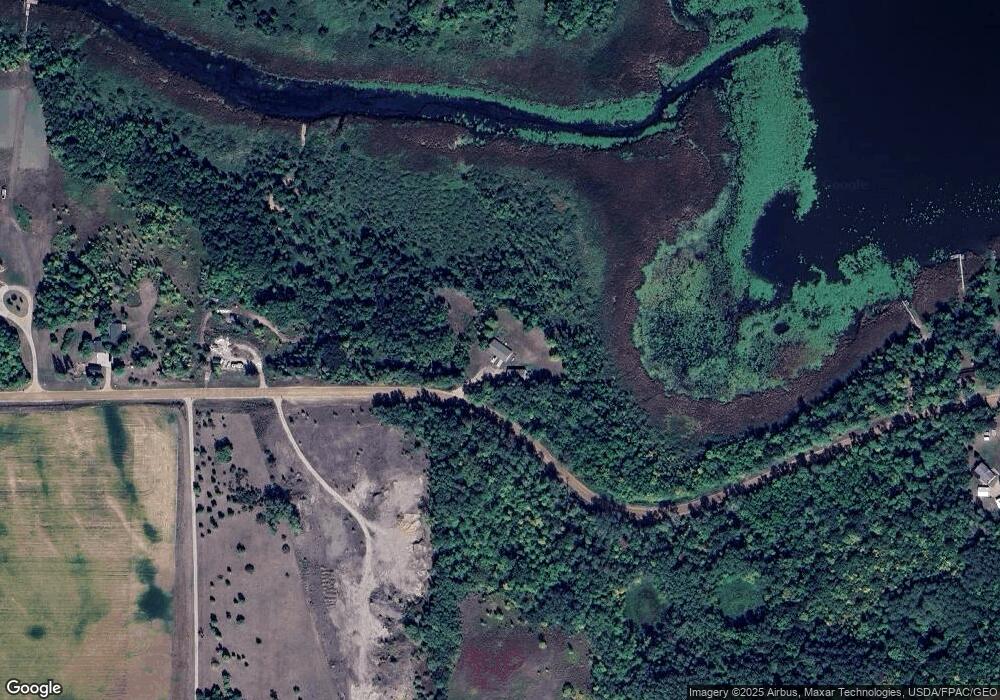
Map
Nearby Homes
- 21151 150th St
- 18993 County Road 4
- 17886 207th Ave
- 12208 US 71
- 19129 181st Ave
- TBD Elderberry Dr
- 23192 200th St
- 11328 County 11
- 11680 Bluebird Dr
- 20596 Akley Dr
- 11253 Alcott Dr
- 18283 Ada Dr
- 11008 Alex Dr
- 23043 210th St
- 10007 Alcott Dr
- Lot 16 Aldrin Loop
- Lot 19 Aldrin Loop
- Lot 18 Aldrin Loop
- Lot 1 Blk 2 Aldrin Loop
- Lot 20 Aldrin Loop
- 20600 County 96
- 20600 County 96
- 20600 Co Road 96
- XXXXX County 96
- 20507 County 96
- 20380 County 96
- 20942 County 96
- 20931 County 96
- 20998 County 96
- 20998 County 96 Unit 1
- 20996 County 96
- 21000 County 96
- 21000 County 96
- 21000 County 96
- 21000 County 96
- 21002 County 96
- 21002 County 96
- 21002 County 96
- 21002 County 96
- 21004 County 96