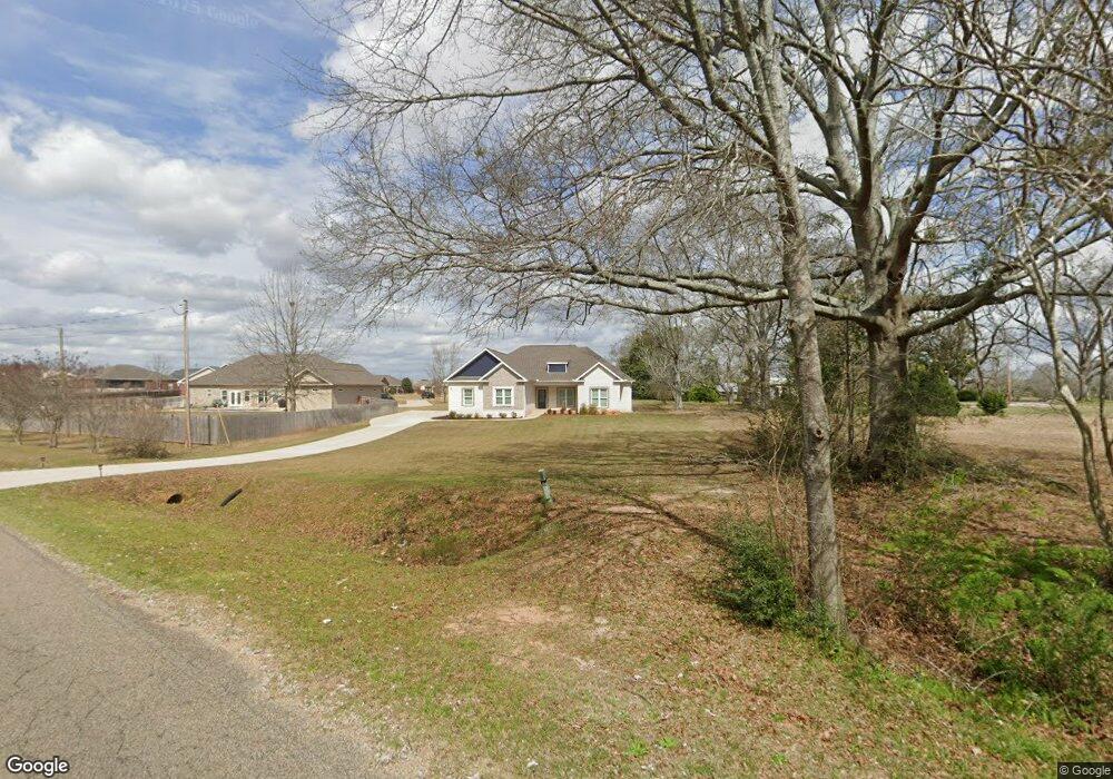
2061 Bellwood Rd Enterprise, AL 36330
Estimated Value: $357,102 - $436,000
--
Bed
--
Bath
2,221
Sq Ft
$179/Sq Ft
Est. Value
About This Home
This home is located at 2061 Bellwood Rd, Enterprise, AL 36330 and is currently estimated at $397,276, approximately $178 per square foot. 2061 Bellwood Rd is a home with nearby schools including Pinedale Elementary School, Coppinville School, and Enterprise High School.
Ownership History
Date
Name
Owned For
Owner Type
Purchase Details
Closed on
Apr 28, 2022
Sold by
New Vision Homebuilders Llc
Bought by
Collier Coston
Current Estimated Value
Home Financials for this Owner
Home Financials are based on the most recent Mortgage that was taken out on this home.
Original Mortgage
$299,474
Outstanding Balance
$281,034
Interest Rate
4.16%
Mortgage Type
New Conventional
Estimated Equity
$116,242
Create a Home Valuation Report for This Property
The Home Valuation Report is an in-depth analysis detailing your home's value as well as a comparison with similar homes in the area
Home Values in the Area
Average Home Value in this Area
Purchase History
| Date | Buyer | Sale Price | Title Company |
|---|---|---|---|
| Collier Coston | $305,000 | None Listed On Document | |
| Collier Coston | $305,000 | None Listed On Document |
Source: Public Records
Mortgage History
| Date | Status | Borrower | Loan Amount |
|---|---|---|---|
| Open | Collier Coston | $299,474 | |
| Closed | Collier Coston | $299,474 |
Source: Public Records
Tax History Compared to Growth
Tax History
| Year | Tax Paid | Tax Assessment Tax Assessment Total Assessment is a certain percentage of the fair market value that is determined by local assessors to be the total taxable value of land and additions on the property. | Land | Improvement |
|---|---|---|---|---|
| 2024 | $1,537 | $35,720 | $3,000 | $32,720 |
| 2023 | $1,421 | $29,601 | $3,000 | $26,601 |
| 2022 | $261 | $6,000 | $0 | $0 |
| 2021 | $174 | $4,000 | $0 | $0 |
| 2020 | $174 | $4,000 | $0 | $0 |
| 2019 | $174 | $4,000 | $0 | $0 |
| 2018 | $174 | $4,000 | $0 | $0 |
| 2017 | $174 | $4,000 | $0 | $0 |
| 2016 | $174 | $4,000 | $0 | $0 |
| 2015 | $174 | $4,000 | $0 | $0 |
| 2014 | $2 | $4,000 | $0 | $0 |
| 2013 | $174 | $0 | $0 | $0 |
Source: Public Records
Map
Nearby Homes
- TBD 5 County Road 708
- 2051 County Road 711
- 3.09 ac Lot 10 County Road 711
- 3.09 acres Lot 10 County Road 711
- 123 Brookwood Dr
- 207 Greyfox Trail
- 6022 Boll Weevil Cir
- 104 Brookestone Dr
- 102 Brabham Dr
- 103 Jackson St
- 158 Boll Weevil Cir
- 200 Brabham Dr
- 101 Jackson St
- 211 Brookstone Dr
- 213 Brookstone Dr
- 119 County Road 744
- 45 County Road 711
- 128 S Industrial Blvd
- 4050 County Road 708
- 3670 County Road 708
- 311 Red Dirt Rd
- 309 Red Dirt Rd
- 308 Red Dirt Rd
- 306 Red Dirt Rd
- 307 Red Dirt Rd
- 302 Red Dirt Rd
- 2081 Bellwood Rd
- TBD4 County Road 708
- TBD County Road 708
- 6595 County Road 708
- 708 County Road 708
- 6229 County Road 45
- UNK County Road 708
- 26 County Road 708
- 000 County Road 708
- LOT 26 County Road 708
- LOT 10 County Road 708
- 12 MOL ACRES County Road 708
- LOT 2 County Road 708
- LOT 12 County Road 708