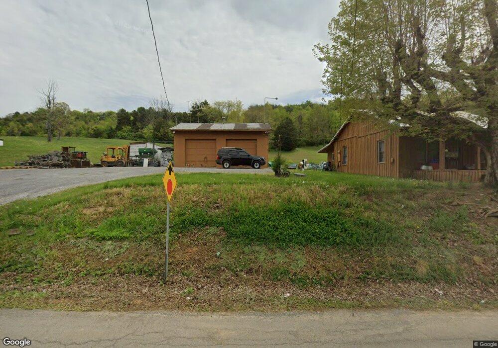
2061 Sulphur Springs Rd Morristown, TN 37813
Estimated Value: $118,239 - $166,000
--
Bed
1
Bath
863
Sq Ft
$174/Sq Ft
Est. Value
About This Home
This home is located at 2061 Sulphur Springs Rd, Morristown, TN 37813 and is currently estimated at $150,560, approximately $174 per square foot. 2061 Sulphur Springs Rd is a home located in Hamblen County with nearby schools including Witt Elementary School, Lincoln Heights Middle School, and Morristown West High School.
Ownership History
Date
Name
Owned For
Owner Type
Purchase Details
Closed on
Jul 23, 2014
Sold by
Byerley J R
Bought by
Kimbrough Frosty and Kimbrough Genia C
Current Estimated Value
Purchase Details
Closed on
Aug 26, 1994
Sold by
Bretz Roger
Bought by
Kimbrough Charles W
Purchase Details
Closed on
Jan 9, 1986
Bought by
Kimbrough Charles W and Kimbrough Genia C
Purchase Details
Closed on
Aug 25, 1975
Bought by
Kimbrough Carolyn Paxton and Kimbrough Charles
Create a Home Valuation Report for This Property
The Home Valuation Report is an in-depth analysis detailing your home's value as well as a comparison with similar homes in the area
Home Values in the Area
Average Home Value in this Area
Purchase History
| Date | Buyer | Sale Price | Title Company |
|---|---|---|---|
| Kimbrough Frosty | $39,000 | -- | |
| Kimbrough Charles W | -- | -- | |
| Kimbrough Charles W | -- | -- | |
| Kimbrough Carolyn Paxton | -- | -- |
Source: Public Records
Tax History Compared to Growth
Tax History
| Year | Tax Paid | Tax Assessment Tax Assessment Total Assessment is a certain percentage of the fair market value that is determined by local assessors to be the total taxable value of land and additions on the property. | Land | Improvement |
|---|---|---|---|---|
| 2024 | $319 | $16,175 | $4,800 | $11,375 |
| 2023 | $319 | $16,175 | $0 | $0 |
| 2022 | $319 | $16,175 | $4,800 | $11,375 |
| 2021 | $319 | $16,175 | $4,800 | $11,375 |
| 2020 | $319 | $16,175 | $4,800 | $11,375 |
| 2019 | $325 | $15,250 | $4,800 | $10,450 |
| 2018 | $325 | $15,250 | $4,800 | $10,450 |
| 2017 | $312 | $14,625 | $4,800 | $9,825 |
| 2016 | $291 | $14,625 | $4,800 | $9,825 |
| 2015 | $271 | $14,625 | $4,800 | $9,825 |
| 2014 | -- | $14,625 | $4,800 | $9,825 |
| 2013 | -- | $15,375 | $0 | $0 |
Source: Public Records
Map
Nearby Homes
- 1418 Mae Collins Rd
- 1160 Statem Gap Rd
- 453 Statem Gap Rd
- 203 Lincoln Ave
- 305-365 Barkley Landing Dr
- 2018 Southwood Cir
- Darwin Plan at Southwood
- Robie Plan at Southwood
- Elston Plan at Southwood
- Belhaven Plan at Southwood
- Penwell Plan at Southwood
- Cali Plan at Southwood
- 1049 Greenway Dr
- 440 S Fairmont Ave
- 837 Pauline Ave
- 731 Lennie Ave
- 900 Baird Ave
- 2895 Coffey Rd
- 811 Crescent St
- 323 Pauline Ave
- 2051 Sulphur Springs Rd
- 2077 Sulphur Springs Rd
- 2087 Sulphur Springs Rd
- 2078 Sulphur Springs Rd
- 2088 Sulphur Springs Rd
- 2099 Sulphur Springs Rd
- 2100 Sulphur Springs Rd
- 2092 Sulphur Springs Rd
- 0 Sulpher Springs Rd Unit 9920144
- 0 Sulpher Springs Rd Unit 601018
- 0 Sulpher Springs Rd Unit 1147181
- 2106 Sulphur Springs Rd
- 2096 Sulphur Springs Rd
- 2109 Sulphur Springs Rd
- 1186 Sawyers Rd
- 2118 Sulphur Springs Rd
- 1980 Brookside Dr
- 1162 Sawyers Rd
- 1981 Brookside Dr
- 1996 Brookside Dr