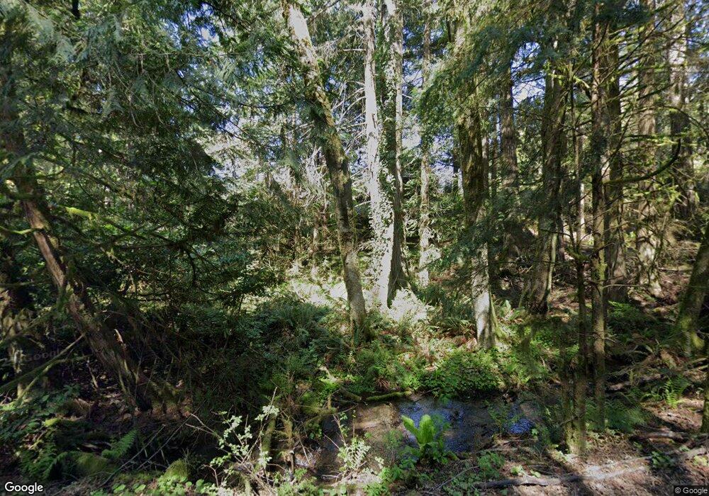
20611 Patterson Rd E Orting, WA 98360
Estimated Value: $623,694 - $815,000
3
Beds
3
Baths
2,156
Sq Ft
$326/Sq Ft
Est. Value
About This Home
This home is located at 20611 Patterson Rd E, Orting, WA 98360 and is currently estimated at $702,424, approximately $325 per square foot. 20611 Patterson Rd E is a home located in Pierce County with nearby schools including Orting Elementary School, Ptarmigan Ridge Elementary School, and Orting Middle School.
Ownership History
Date
Name
Owned For
Owner Type
Purchase Details
Closed on
Aug 23, 2016
Sold by
Chermak Martha Q
Bought by
Nelson Andrew and Nelson Jessieka
Current Estimated Value
Home Financials for this Owner
Home Financials are based on the most recent Mortgage that was taken out on this home.
Original Mortgage
$373,117
Outstanding Balance
$297,415
Interest Rate
3.45%
Mortgage Type
FHA
Estimated Equity
$405,009
Purchase Details
Closed on
Jan 27, 2011
Sold by
Chermak Martha Q
Bought by
Chermak Martha Q and Martha Q Chermak Living Trust
Create a Home Valuation Report for This Property
The Home Valuation Report is an in-depth analysis detailing your home's value as well as a comparison with similar homes in the area
Purchase History
| Date | Buyer | Sale Price | Title Company |
|---|---|---|---|
| Nelson Andrew | $379,719 | First American Title Ins Co | |
| Chermak Martha Q | -- | None Available |
Source: Public Records
Mortgage History
| Date | Status | Borrower | Loan Amount |
|---|---|---|---|
| Open | Nelson Andrew | $373,117 |
Source: Public Records
Tax History Compared to Growth
Tax History
| Year | Tax Paid | Tax Assessment Tax Assessment Total Assessment is a certain percentage of the fair market value that is determined by local assessors to be the total taxable value of land and additions on the property. | Land | Improvement |
|---|---|---|---|---|
| 2025 | $4,754 | $534,200 | $241,100 | $293,100 |
| 2024 | $4,754 | $555,900 | $244,200 | $311,700 |
| 2023 | $4,754 | $518,300 | $228,800 | $289,500 |
| 2022 | $3,952 | $509,000 | $247,300 | $261,700 |
| 2021 | $3,743 | $302,800 | $143,000 | $159,800 |
| 2019 | $3,526 | $291,700 | $129,800 | $161,900 |
| 2018 | $3,535 | $268,900 | $118,800 | $150,100 |
| 2017 | $3,293 | $227,900 | $97,900 | $130,000 |
| 2016 | $3,160 | $184,700 | $71,000 | $113,700 |
| 2014 | $3,091 | $177,000 | $77,100 | $99,900 |
| 2013 | $3,091 | $162,500 | $75,100 | $87,400 |
Source: Public Records
Map
Nearby Homes
- 18313 Patterson Rd E
- 18406 229th Ave E
- 25323 182nd St E
- 22316 177th St E
- 0 A P Tubbs Rd
- 23119 164th St E
- 121 3rd St NW
- 25624 166th St E
- 20524 165th St E
- 20532 165th St E
- 19620 199th St E
- 0 196th Ave E
- 19713 196th Ave E
- 19510 190th Ave E
- 19205 206th Stct E
- 15906 Larson Loss Rd E
- 20702 190th Ave E
- 15915 261st Ave E
- 25326 155th Street Ct E
- 15716 A P Tubbs Rd E
- 20616 Patterson Rd E
- 20503 Patterson Rd E
- 20502 Patterson Rd E
- 20504 Patterson Rd E
- 20418 Patterson Rd E
- 20409 Patterson Rd E
- 20416 Patterson Rd E
- 20414 Patterson Rd E
- 20405 Patterson Rd E
- 20408 Patterson Rd E
- 20404 Patterson Rd E
- 20211 Patterson Rd E
- 23312 204th Street Ct E
- 20210 Patterson Rd E
- 23202 204th Street Ct E
- 20113 Patterson Rd E
- 20110 Patterson Rd E
- 233 XX 197th St E
- 19715 Patterson Rd E
- 234 XX 197th St E
