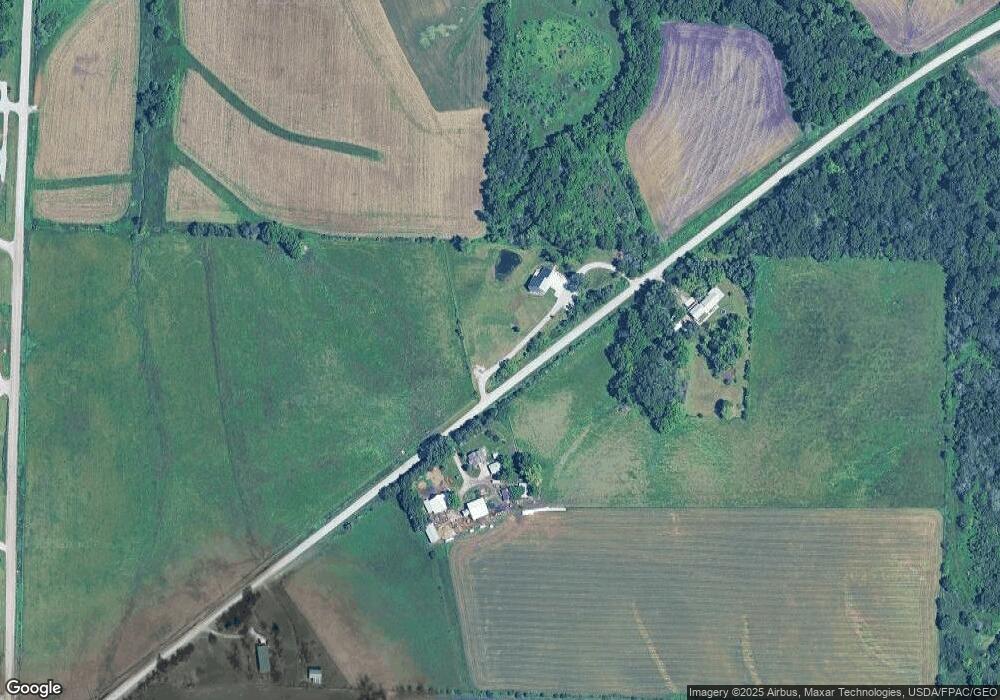
2062 Angle Rd SW Kalona, IA 52247
Estimated Value: $328,000 - $431,077
3
Beds
2
Baths
1,467
Sq Ft
$262/Sq Ft
Est. Value
About This Home
This home is located at 2062 Angle Rd SW, Kalona, IA 52247 and is currently estimated at $383,769, approximately $261 per square foot. 2062 Angle Rd SW is a home located in Johnson County with nearby schools including Mid-Prairie High School.
Ownership History
Date
Name
Owned For
Owner Type
Purchase Details
Closed on
Apr 13, 2016
Sold by
Streb & Streb Partnership
Bought by
Cline Eric J
Current Estimated Value
Purchase Details
Closed on
Apr 17, 2015
Sold by
Pechous Edward C and Pechous Marilyn J
Bought by
Cline Eric J and Cline Melanie Anne
Home Financials for this Owner
Home Financials are based on the most recent Mortgage that was taken out on this home.
Original Mortgage
$165,000
Interest Rate
4.37%
Mortgage Type
Adjustable Rate Mortgage/ARM
Create a Home Valuation Report for This Property
The Home Valuation Report is an in-depth analysis detailing your home's value as well as a comparison with similar homes in the area
Home Values in the Area
Average Home Value in this Area
Purchase History
| Date | Buyer | Sale Price | Title Company |
|---|---|---|---|
| Cline Eric J | $600,000 | None Available | |
| Cline Eric J | $165,000 | None Available |
Source: Public Records
Mortgage History
| Date | Status | Borrower | Loan Amount |
|---|---|---|---|
| Previous Owner | Cline Eric J | $165,000 |
Source: Public Records
Tax History Compared to Growth
Tax History
| Year | Tax Paid | Tax Assessment Tax Assessment Total Assessment is a certain percentage of the fair market value that is determined by local assessors to be the total taxable value of land and additions on the property. | Land | Improvement |
|---|---|---|---|---|
| 2025 | $4,224 | $476,300 | $82,600 | $393,700 |
| 2024 | $4,088 | $346,800 | $82,600 | $264,200 |
| 2023 | $4,494 | $348,300 | $82,600 | $265,700 |
| 2022 | $4,440 | $327,000 | $129,100 | $197,900 |
| 2021 | $4,014 | $327,000 | $129,100 | $197,900 |
| 2020 | $4,014 | $281,700 | $129,100 | $152,600 |
| 2019 | $3,862 | $281,700 | $129,100 | $152,600 |
| 2018 | $3,820 | $267,400 | $129,100 | $138,300 |
| 2017 | $3,954 | $267,400 | $129,100 | $138,300 |
| 2016 | $3,792 | $263,400 | $129,100 | $134,300 |
| 2015 | $3,792 | $263,400 | $129,100 | $134,300 |
| 2014 | $3,114 | $216,800 | $94,700 | $122,100 |
Source: Public Records
Map
Nearby Homes
- 2057 Angle Rd SW
- 2081 Angle Rd SW
- 2035 Angle Rd SW
- 4917 Cosgrove Rd SW
- 0 Lot 7 Terrace Acres Part Four
- Lot Lot 7 Terrace Acres Part Four
- LOT 7 Terrace Acres Part Four
- 0 Lot 7 Terrace Acres Unit 202203448
- 4921 Cosgrove Rd SW
- 4912 Walnut Rd SW
- 4925 Cosgrove Rd SW
- 4937 Cosgrove Rd SW
- 4950 Walnut Rd SW
- 4916 Walnut Rd SW
- 4920 Walnut Rd SW
- 4924 Walnut Rd SW
- 0 Lot 12 Terrace Acres Part 4
- Lot Lot 12 Terrace Acres Part 4
- 4928 Walnut Rd SW
- LOT 12 Terrace Acres Part Four