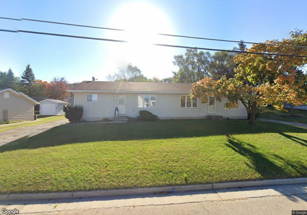
2062 Pershing Rd Unit 2064 New London, WI 54961
Estimated Value: $220,000 - $341,000
4
Beds
2
Baths
1,920
Sq Ft
$138/Sq Ft
Est. Value
About This Home
This home is located at 2062 Pershing Rd Unit 2064, New London, WI 54961 and is currently estimated at $265,127, approximately $138 per square foot. 2062 Pershing Rd Unit 2064 is a home located in Waupaca County with nearby schools including Parkview Elementary School, New London Middle School, and New London High School.
Ownership History
Date
Name
Owned For
Owner Type
Purchase Details
Closed on
Sep 15, 2010
Sold by
Nett Steven M and Nett Tina M
Bought by
Mcdonough Family Land Lp
Current Estimated Value
Purchase Details
Closed on
Sep 2, 2005
Sold by
Shaw Michael P and Hintz Heather D
Bought by
Nett Steven M
Home Financials for this Owner
Home Financials are based on the most recent Mortgage that was taken out on this home.
Original Mortgage
$96,800
Interest Rate
5.89%
Mortgage Type
New Conventional
Create a Home Valuation Report for This Property
The Home Valuation Report is an in-depth analysis detailing your home's value as well as a comparison with similar homes in the area
Home Values in the Area
Average Home Value in this Area
Purchase History
| Date | Buyer | Sale Price | Title Company |
|---|---|---|---|
| Mcdonough Family Land Lp | $115,000 | None Available | |
| Nett Steven M | $121,000 | None Available |
Source: Public Records
Mortgage History
| Date | Status | Borrower | Loan Amount |
|---|---|---|---|
| Previous Owner | Nett Steven M | $96,800 |
Source: Public Records
Tax History Compared to Growth
Tax History
| Year | Tax Paid | Tax Assessment Tax Assessment Total Assessment is a certain percentage of the fair market value that is determined by local assessors to be the total taxable value of land and additions on the property. | Land | Improvement |
|---|---|---|---|---|
| 2024 | $3,079 | $131,400 | $24,000 | $107,400 |
| 2023 | $3,079 | $131,400 | $24,000 | $107,400 |
| 2022 | $3,017 | $131,400 | $24,000 | $107,400 |
| 2021 | $3,081 | $131,400 | $24,000 | $107,400 |
| 2020 | $3,090 | $131,400 | $24,000 | $107,400 |
| 2019 | $3,056 | $131,400 | $24,000 | $107,400 |
| 2018 | $2,906 | $131,400 | $24,000 | $107,400 |
| 2017 | $2,978 | $131,400 | $24,000 | $107,400 |
| 2016 | $2,978 | $122,900 | $23,900 | $99,000 |
| 2015 | $2,887 | $122,900 | $23,900 | $99,000 |
| 2014 | $2,835 | $122,900 | $23,900 | $99,000 |
| 2013 | $2,906 | $122,900 | $23,900 | $99,000 |
Source: Public Records
Map
Nearby Homes
- 1931 Southland Ln
- 1930 Southland Ln
- 1835 Southland Ln
- 1801 Southland Ln
- 1605 Cedarhurst Dr
- 1975 Penny Ln
- 1802 Nassau St
- 610 W Pine St
- 102 E Cameron St
- 1010 Smith St
- 907 W Beacon Ave
- 1420 Division St
- 903 Smith St
- 1109 Algoma St
- 200 W Beacon Ave
- 408 Wallace St
- 0 Shawano St Unit 50295803
- 0 Shawano St Unit 50257475
- 803 W North Water St
- 514 E Pine St
- 2072 Pershing Rd
- 2058 Pershing Rd
- 2061 Southland Ln
- 2055 Southland Ln
- 2049 Southland Ln
- 2080 Pershing Rd
- 2050 Pershing Rd
- 2067 Southland Ln
- 1307 W Beckert Rd
- 2069 Pershing Rd
- 2043 Southland Ln
- 1315 W Beckert Rd
- 2055 Pershing Rd
- 2052 Southland Ln
- 2037 Southland Ln
- 2050 Southland Ln Unit 2052
- 1810 Brynnwood Trace
- 1812 Brynnwood Trace
- 2046 Southland Ln Unit 2048
- 1808 Brynnwood Trace