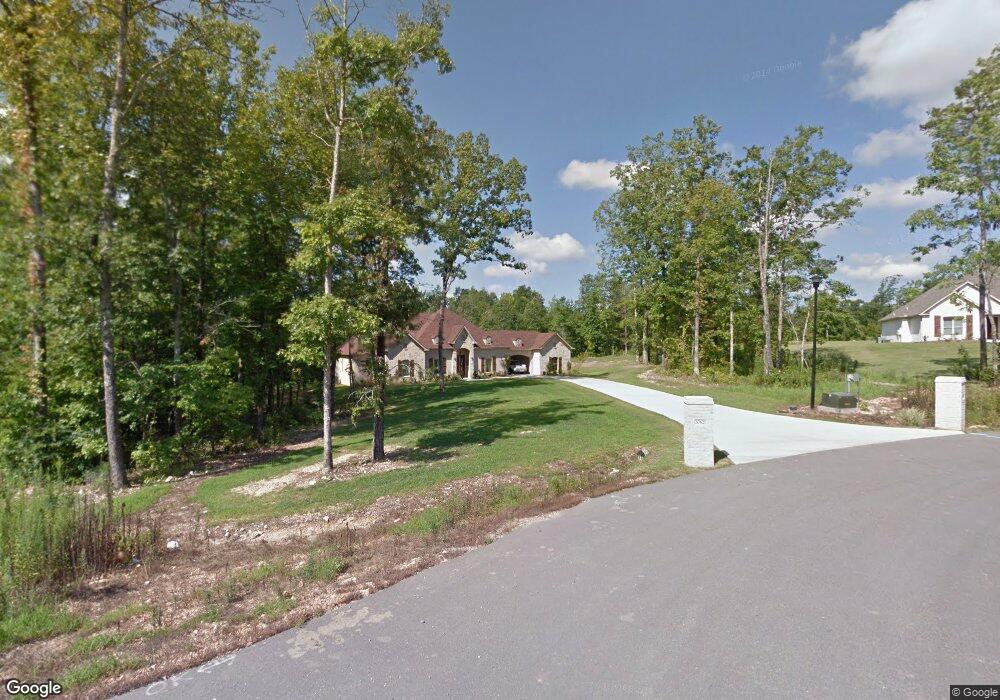
20621 Bellvue Dr Little Rock, AR 72210
Estimated Value: $623,000 - $731,000
--
Bed
1
Bath
3,116
Sq Ft
$214/Sq Ft
Est. Value
About This Home
This home is located at 20621 Bellvue Dr, Little Rock, AR 72210 and is currently estimated at $666,903, approximately $214 per square foot. 20621 Bellvue Dr is a home with nearby schools including Chenal Elementary School, Joe T. Robinson Middle School, and Joe T. Robinson High School.
Ownership History
Date
Name
Owned For
Owner Type
Purchase Details
Closed on
Jun 12, 2012
Sold by
Central Arkansas Land Development Llc
Bought by
Sledge Jerry D
Current Estimated Value
Home Financials for this Owner
Home Financials are based on the most recent Mortgage that was taken out on this home.
Original Mortgage
$192,600
Outstanding Balance
$133,666
Interest Rate
3.86%
Mortgage Type
Credit Line Revolving
Estimated Equity
$533,237
Create a Home Valuation Report for This Property
The Home Valuation Report is an in-depth analysis detailing your home's value as well as a comparison with similar homes in the area
Home Values in the Area
Average Home Value in this Area
Purchase History
| Date | Buyer | Sale Price | Title Company |
|---|---|---|---|
| Sledge Jerry D | $61,000 | None Available |
Source: Public Records
Mortgage History
| Date | Status | Borrower | Loan Amount |
|---|---|---|---|
| Open | Sledge Jerry D | $192,600 |
Source: Public Records
Tax History Compared to Growth
Tax History
| Year | Tax Paid | Tax Assessment Tax Assessment Total Assessment is a certain percentage of the fair market value that is determined by local assessors to be the total taxable value of land and additions on the property. | Land | Improvement |
|---|---|---|---|---|
| 2025 | $5,532 | $109,761 | $21,924 | $87,837 |
| 2024 | $5,532 | $109,761 | $21,924 | $87,837 |
| 2023 | $6,152 | $109,761 | $21,924 | $87,837 |
| 2022 | $4,675 | $109,761 | $21,924 | $87,837 |
| 2021 | $4,482 | $90,960 | $18,680 | $72,280 |
| 2020 | $4,482 | $90,960 | $18,680 | $72,280 |
| 2019 | $4,482 | $90,960 | $18,680 | $72,280 |
| 2018 | $4,507 | $90,960 | $18,680 | $72,280 |
| 2017 | $4,507 | $90,960 | $18,680 | $72,280 |
| 2016 | $3,857 | $76,530 | $12,820 | $63,710 |
| 2015 | $3,857 | $76,530 | $12,820 | $63,710 |
| 2014 | $4,457 | $76,530 | $12,820 | $63,710 |
Source: Public Records
Map
Nearby Homes
- 1703 Crested Butte Cir
- 2056 Gunnison Dr
- 000 W Colonel Glenn Rd
- 12433 Raindrop Ln
- 20377 Congo Ferndale Rd
- 0 Serenity Dr
- 466 Rock Ridge Rd
- 28721 Kanis Rd
- 32315 Kanis Rd
- 23 Witness Tree Ln
- 1516 E Lawson Rd Unit 1512
- 24923 Colonel Glenn Rd
- 211 County Line Rd
- 220 W Lawson Rd
- 39 Golden Eagle Dr
- 1560 Lawson Oaks Dr
- 000 Big Ridge Cove
- 3110 Ferndale Cut Off Rd
- 4.06 acres N Lake Norrell Dr
- 6111 Crestwood Ln
- 20629 Bellvue Dr
- 20622 Bellvue Dr
- 20613 Bellvue Dr
- 20639 Bellvue Dr
- 20614 Bellvue Dr
- 0 Bellvue Dr Unit 15014762
- 20630 Bellvue Dr
- 1702 Crested Butte Cir
- 1137 Westcliffe Dr
- 20605 Bellvue Dr
- 20692 Bellvue Dr
- 1123 Westcliffe Dr
- 1709 Crested Butte Cir
- 20598 Bellvue Dr
- 1637 S Silverthorne Dr
- 20710 Crested Butte Dr
- 20618 Crested Butte Dr
- 20720 Crested Butte Dr
- 20612 Crested Butte Dr
- 1651 S Silverthorne Dr