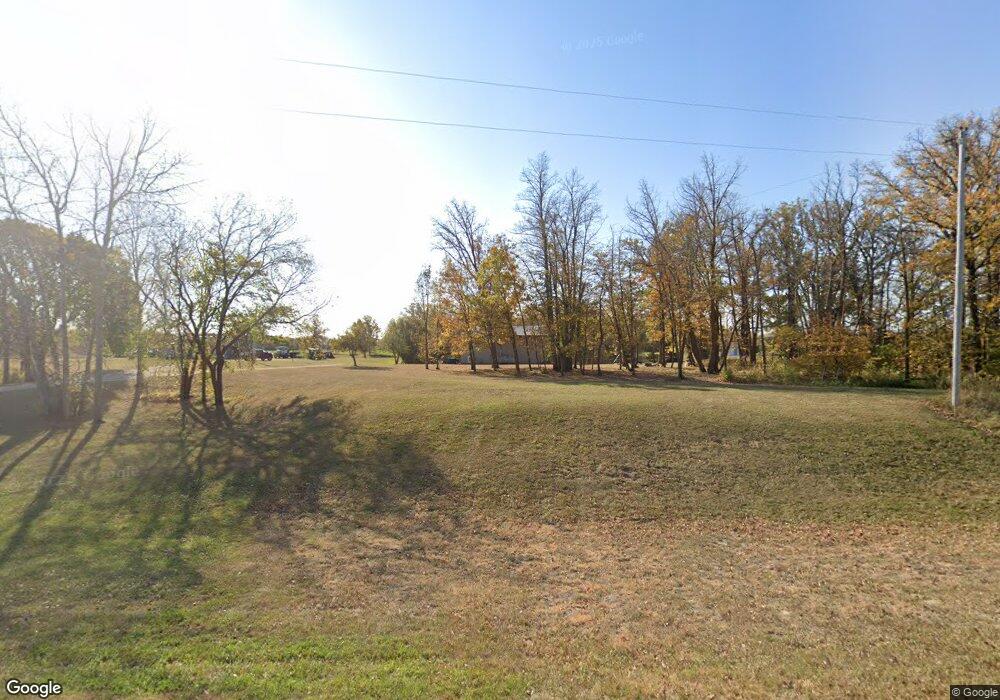
20627 Clover Rd Clearbrook, MN 56634
Estimated Value: $314,000 - $345,000
Studio
--
Bath
--
Sq Ft
35.7
Acres
About This Home
This home is located at 20627 Clover Rd, Clearbrook, MN 56634 and is currently estimated at $327,540. 20627 Clover Rd is a home located in Clearwater County with nearby schools including Clearbrook-Gonvick Elementary School and Clearbrook-Gonvick Secondary School.
Ownership History
Date
Name
Owned For
Owner Type
Purchase Details
Closed on
Jul 27, 2015
Sold by
Weems Joseph Joseph
Bought by
Mathson Brent and Mathson Jenetta
Current Estimated Value
Home Financials for this Owner
Home Financials are based on the most recent Mortgage that was taken out on this home.
Original Mortgage
$165,000
Outstanding Balance
$129,860
Interest Rate
4.05%
Estimated Equity
$197,680
Purchase Details
Closed on
Sep 16, 2013
Sold by
Moser Christopher Christopher
Bought by
Weems Joseph and Weems Amy
Home Financials for this Owner
Home Financials are based on the most recent Mortgage that was taken out on this home.
Original Mortgage
$15,100
Interest Rate
4.38%
Create a Home Valuation Report for This Property
The Home Valuation Report is an in-depth analysis detailing your home's value as well as a comparison with similar homes in the area
Purchase History
| Date | Buyer | Sale Price | Title Company |
|---|---|---|---|
| Mathson Brent | $165,000 | -- | |
| Weems Joseph | $90,100 | -- |
Source: Public Records
Mortgage History
| Date | Status | Borrower | Loan Amount |
|---|---|---|---|
| Open | Mathson Brent | $165,000 | |
| Previous Owner | Weems Joseph | $15,100 |
Source: Public Records
Tax History
| Year | Tax Paid | Tax Assessment Tax Assessment Total Assessment is a certain percentage of the fair market value that is determined by local assessors to be the total taxable value of land and additions on the property. | Land | Improvement |
|---|---|---|---|---|
| 2024 | $1,688 | $302,000 | $95,100 | $206,900 |
| 2023 | $1,688 | $266,500 | $80,900 | $185,600 |
| 2022 | $1,438 | $225,100 | $70,100 | $155,000 |
| 2021 | $1,434 | $167,200 | $48,000 | $119,200 |
| 2020 | $1,444 | $148,500 | $46,200 | $102,300 |
| 2019 | $1,340 | $146,800 | $46,200 | $100,600 |
| 2018 | $1,290 | $146,800 | $46,200 | $100,600 |
| 2017 | $1,194 | $143,500 | $45,000 | $98,500 |
| 2016 | $1,248 | $126,400 | $40,900 | $85,500 |
| 2015 | $1,288 | $0 | $0 | $0 |
| 2014 | $1,380 | $0 | $0 | $0 |
Source: Public Records
Map
Nearby Homes
- 49954 209th Ave
- 131 Jensen Ave
- 312 3rd Ave SE
- 315 3rd Ave SW
- 128 Spruce Ave
- 47911 Taflin Lake Rd
- TBD 161st Ave
- TBD1 161st Ave
- 49404 109th Ave
- Tbd Twp Rd T-82 (South)
- Xxxx Twp Rd T-82 (North)
- TBD S Main St
- 39309 350th St SE
- 130 7th St NE
- 636 Labudde Ave NE
- TBD 243rd Ave
- TBD U S Highway 2
- 15196 US 2
- 21740 Minnesota 89
- 28615 Minnesota 89
Your Personal Tour Guide
Ask me questions while you tour the home.
