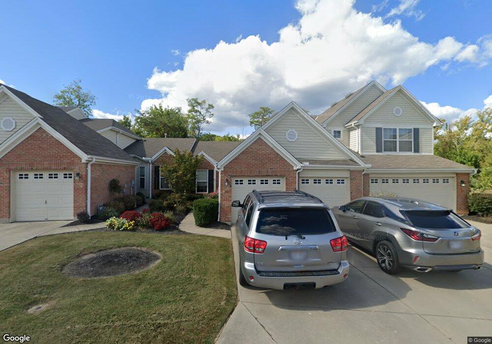
2063 Commons Cir Unit 19C Batavia, OH 45103
Estimated Value: $243,000 - $253,000
2
Beds
2
Baths
1,406
Sq Ft
$175/Sq Ft
Est. Value
About This Home
This home is located at 2063 Commons Cir Unit 19C, Batavia, OH 45103 and is currently estimated at $246,728, approximately $175 per square foot. 2063 Commons Cir Unit 19C is a home located in Clermont County with nearby schools including Batavia Elementary School, Batavia Middle School, and Batavia High School.
Ownership History
Date
Name
Owned For
Owner Type
Purchase Details
Closed on
Nov 15, 2021
Sold by
Smith Patricia A
Bought by
Manetta Louis Carl
Current Estimated Value
Home Financials for this Owner
Home Financials are based on the most recent Mortgage that was taken out on this home.
Original Mortgage
$149,925
Interest Rate
2.28%
Mortgage Type
New Conventional
Purchase Details
Closed on
Jul 7, 2011
Sold by
Deininger Viki
Bought by
Smith Patricia A
Purchase Details
Closed on
Sep 2, 2009
Sold by
The Drees Company
Bought by
Deininger Viki
Create a Home Valuation Report for This Property
The Home Valuation Report is an in-depth analysis detailing your home's value as well as a comparison with similar homes in the area
Home Values in the Area
Average Home Value in this Area
Purchase History
| Date | Buyer | Sale Price | Title Company |
|---|---|---|---|
| Manetta Louis Carl | $199,900 | Northwest Ttl Fam Of Compani | |
| Smith Patricia A | $119,000 | Attorney | |
| Deininger Viki | $164,600 | Land Title Agency Inc |
Source: Public Records
Mortgage History
| Date | Status | Borrower | Loan Amount |
|---|---|---|---|
| Previous Owner | Manetta Louis Carl | $149,925 |
Source: Public Records
Tax History Compared to Growth
Tax History
| Year | Tax Paid | Tax Assessment Tax Assessment Total Assessment is a certain percentage of the fair market value that is determined by local assessors to be the total taxable value of land and additions on the property. | Land | Improvement |
|---|---|---|---|---|
| 2024 | $2,567 | $67,730 | $10,430 | $57,300 |
| 2023 | $5,642 | $67,730 | $10,430 | $57,300 |
| 2022 | $2,491 | $48,900 | $7,700 | $41,200 |
| 2021 | $2,017 | $48,900 | $7,700 | $41,200 |
| 2020 | $2,028 | $48,900 | $7,700 | $41,200 |
| 2019 | $1,577 | $38,010 | $7,280 | $30,730 |
| 2018 | $1,631 | $38,010 | $7,280 | $30,730 |
| 2017 | $1,421 | $38,010 | $7,280 | $30,730 |
| 2016 | $1,471 | $36,540 | $7,000 | $29,540 |
| 2015 | $1,397 | $36,540 | $7,000 | $29,540 |
| 2014 | $1,397 | $36,540 | $7,000 | $29,540 |
| 2013 | $1,851 | $44,630 | $7,700 | $36,930 |
Source: Public Records
Map
Nearby Homes
- 2021 Commons Cir Unit 2F
- 4323 Southcross Dr
- 2140 Crossridge Dr
- 2125 Picketside Dr
- 2188 Winemiller Ln
- 2427 Bridgewater Dr
- 2423 Bridgewater Dr
- 490 North St
- 4333 Cordial Place
- 3 Old St Rt 32
- 0 St Rt 132 Unit 1860682
- 1397 Old State Route 74
- 4605 Stanton Hall
- 6030 Filager Rd
- 1 Ely St
- 140 Douglas Dr
- A Douglas Dr
- 679 Ely St
- 3520 Ohio 222
- 3372 Dewdrop Way
- 2063 Commons Circle Dr
- 2061 Commons Cir Unit 19D
- 2065 Commons Cir Unit 19B
- 2067 Commons Cir Unit 19A
- 2067 Commons Circle Dr
- 2059 Commons Cir Unit 20A
- 2055 Commons Cir
- 2069 Commons Cir Unit 18B
- 2057 Commons Cir Unit 20B
- 2071 Commons Cir Unit 18A
- 2051 Commons Cir Unit 20E
- 2053 Commons Cir Unit 20D
- 2053 Commons Cir Unit 6
- 2071 Commons Circle Dr
- 2047 Commons Cir
- 2047 Commons Cir
- 2049 Commons Cir Unit 20F
- 2082 Commons Cir
- 2084 Commons Cir
- 2084 Commons Cir