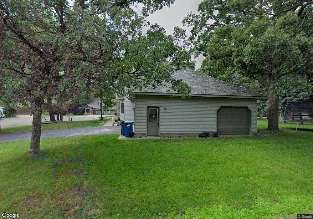
2063 High Ct Sauk Rapids, MN 56379
Estimated Value: $420,514 - $473,000
4
Beds
3
Baths
2,726
Sq Ft
$165/Sq Ft
Est. Value
About This Home
This home is located at 2063 High Ct, Sauk Rapids, MN 56379 and is currently estimated at $450,879, approximately $165 per square foot. 2063 High Ct is a home located in Benton County with nearby schools including Pleasant View Elementary School, Sauk Rapids-Rice Middle School, and Sauk Rapids-Rice Senior High School.
Ownership History
Date
Name
Owned For
Owner Type
Purchase Details
Closed on
Aug 31, 2021
Sold by
Kunshier William R and Kunshier Cheryl A
Bought by
Turner Jessica L
Current Estimated Value
Home Financials for this Owner
Home Financials are based on the most recent Mortgage that was taken out on this home.
Original Mortgage
$269,500
Outstanding Balance
$245,225
Interest Rate
2.8%
Mortgage Type
New Conventional
Estimated Equity
$205,654
Create a Home Valuation Report for This Property
The Home Valuation Report is an in-depth analysis detailing your home's value as well as a comparison with similar homes in the area
Home Values in the Area
Average Home Value in this Area
Purchase History
| Date | Buyer | Sale Price | Title Company |
|---|---|---|---|
| Turner Jessica L | $385,000 | First American Title Ins Co | |
| Turner Jessica Jessica | $385,000 | -- |
Source: Public Records
Mortgage History
| Date | Status | Borrower | Loan Amount |
|---|---|---|---|
| Open | Turner Jessica L | $269,500 | |
| Closed | Turner Jessica Jessica | $269,500 |
Source: Public Records
Tax History
| Year | Tax Paid | Tax Assessment Tax Assessment Total Assessment is a certain percentage of the fair market value that is determined by local assessors to be the total taxable value of land and additions on the property. | Land | Improvement |
|---|---|---|---|---|
| 2025 | $5,484 | $456,200 | $32,900 | $423,300 |
| 2024 | $5,540 | $431,500 | $32,900 | $398,600 |
| 2023 | $5,348 | $454,300 | $32,900 | $421,400 |
| 2022 | $4,870 | $399,400 | $29,900 | $369,500 |
| 2021 | $4,568 | $333,800 | $29,900 | $303,900 |
| 2018 | $4,092 | $279,700 | $27,701 | $251,999 |
| 2017 | $4,092 | $255,100 | $27,393 | $227,707 |
| 2016 | $3,978 | $257,900 | $28,800 | $229,100 |
| 2015 | $4,028 | $224,500 | $26,929 | $197,571 |
| 2014 | -- | $213,600 | $26,735 | $186,865 |
| 2013 | -- | $213,600 | $26,735 | $186,865 |
Source: Public Records
Map
Nearby Homes
- 506 Oak Pond Dr
- 122 Benton Oaks Dr
- 1954 W Highview Dr
- 201 High Dr
- 199 High Dr
- 932 Oak Pond Ct
- 398 Riverside Ave S
- 1001 Oak Pond Dr
- 1914 N Benton Dr
- 1806 Oak Pond Dr
- 390 18th Street Ct NW
- 870 18th St NW
- 820 18th St NW
- 1804 Oak Pond Dr
- 1209 Oak Pond Dr
- 2 Lowell Cir
- 138 Hi Vue Dr
- 149 Hi Vue Dr
- 18th 18th
- TBD N Benton Dr
Your Personal Tour Guide
Ask me questions while you tour the home.