2063 Highway 22 Muscatine, IA 52761
Estimated Value: $432,000 - $570,951
2
Beds
5
Baths
2,960
Sq Ft
$167/Sq Ft
Est. Value
About This Home
This home is located at 2063 Highway 22, Muscatine, IA 52761 and is currently estimated at $495,650, approximately $167 per square foot. 2063 Highway 22 is a home located in Muscatine County with nearby schools including Mulberry Elementary School, Susan Clark Junior High School, and Muscatine High School.
Create a Home Valuation Report for This Property
The Home Valuation Report is an in-depth analysis detailing your home's value as well as a comparison with similar homes in the area
Home Values in the Area
Average Home Value in this Area
Tax History Compared to Growth
Tax History
| Year | Tax Paid | Tax Assessment Tax Assessment Total Assessment is a certain percentage of the fair market value that is determined by local assessors to be the total taxable value of land and additions on the property. | Land | Improvement |
|---|---|---|---|---|
| 2025 | $5,886 | $506,070 | $106,890 | $399,180 |
| 2024 | $5,886 | $475,980 | $78,230 | $397,750 |
| 2023 | $5,748 | $477,575 | $78,230 | $399,345 |
| 2022 | $4,724 | $365,350 | $59,580 | $305,770 |
| 2021 | $4,724 | $324,430 | $62,920 | $261,510 |
| 2020 | $4,796 | $317,980 | $63,210 | $254,770 |
| 2019 | $4,648 | $321,820 | $0 | $0 |
| 2018 | $4,532 | $321,820 | $0 | $0 |
| 2017 | $4,548 | $324,840 | $0 | $0 |
| 2016 | $4,598 | $324,970 | $0 | $0 |
| 2015 | $4,598 | $315,830 | $0 | $0 |
| 2014 | $4,466 | $306,990 | $0 | $0 |
Source: Public Records
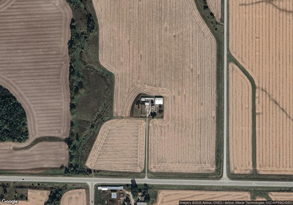
Map
Nearby Homes
- 1824 Keokuk Ave
- 2207 231st St
- LOT 4 Fridley Subdivision
- 0 Iron City Ave
- 2461 Bobwhite Dr
- 3103 Ginkgo Ln
- LOT 6 Fridley Subdivision
- 3120 Linden Ln
- 1507 Duncan Dr
- 1604 Duncan Dr
- 1416 Duncan Dr
- 3010 W Fulliam Ave
- CEDAR Plaza Parcel
- 2018 W Bay Dr
- 2108 Clarabek St
- 2106 Clarabek St
- 1617 W Acre Dr
- 2210 Imperial Oaks Dr