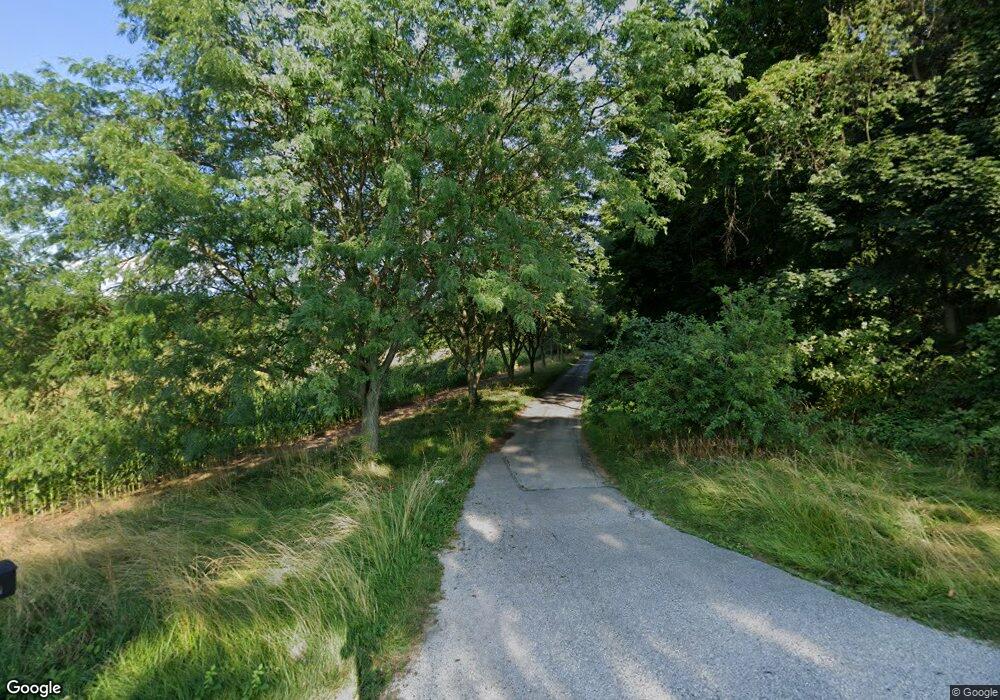
2063 Locust Rd Spring Grove, PA 17362
Estimated Value: $428,000 - $598,000
4
Beds
3
Baths
3,450
Sq Ft
$158/Sq Ft
Est. Value
About This Home
This home is located at 2063 Locust Rd, Spring Grove, PA 17362 and is currently estimated at $545,258, approximately $158 per square foot. 2063 Locust Rd is a home located in York County with nearby schools including Spring Grove Area Middle School, Spring Grove Area High School, and Hope Christian School Of Hanover.
Ownership History
Date
Name
Owned For
Owner Type
Purchase Details
Closed on
Jun 6, 2016
Sold by
Ball Kirsten V S
Bought by
Sewell Elizabeth N and Sewell Michael A
Current Estimated Value
Purchase Details
Closed on
Apr 20, 2011
Sold by
Taylor Caroline and Taylor Calum
Bought by
Ball Thomas R and Ball Kirsten V S
Home Financials for this Owner
Home Financials are based on the most recent Mortgage that was taken out on this home.
Original Mortgage
$204,000
Interest Rate
4.76%
Mortgage Type
New Conventional
Purchase Details
Closed on
Jul 11, 2007
Sold by
Taylor Calum
Bought by
Taylor Calum
Purchase Details
Closed on
Jan 27, 2006
Sold by
Taylor Calum and Taylor Betty J
Bought by
Taylor Calum
Home Financials for this Owner
Home Financials are based on the most recent Mortgage that was taken out on this home.
Original Mortgage
$240,000
Interest Rate
6.31%
Mortgage Type
New Conventional
Purchase Details
Closed on
May 31, 2000
Sold by
May Burlin H
Bought by
Taylor Calum and Taylor Betty
Home Financials for this Owner
Home Financials are based on the most recent Mortgage that was taken out on this home.
Original Mortgage
$157,500
Interest Rate
8.12%
Create a Home Valuation Report for This Property
The Home Valuation Report is an in-depth analysis detailing your home's value as well as a comparison with similar homes in the area
Home Values in the Area
Average Home Value in this Area
Purchase History
| Date | Buyer | Sale Price | Title Company |
|---|---|---|---|
| Sewell Elizabeth N | -- | None Available | |
| Ball Thomas R | $255,000 | None Available | |
| Taylor Calum | -- | None Available | |
| Taylor Calum | -- | None Available | |
| Taylor Calum | $210,000 | First American Title Ins Co |
Source: Public Records
Mortgage History
| Date | Status | Borrower | Loan Amount |
|---|---|---|---|
| Previous Owner | Ball Thomas R | $204,000 | |
| Previous Owner | Taylor Calum | $240,000 | |
| Previous Owner | Taylor Calum | $157,500 |
Source: Public Records
Tax History Compared to Growth
Tax History
| Year | Tax Paid | Tax Assessment Tax Assessment Total Assessment is a certain percentage of the fair market value that is determined by local assessors to be the total taxable value of land and additions on the property. | Land | Improvement |
|---|---|---|---|---|
| 2025 | $7,960 | $236,880 | $76,500 | $160,380 |
| 2024 | $7,874 | $236,880 | $76,500 | $160,380 |
| 2023 | $7,874 | $236,880 | $76,500 | $160,380 |
| 2022 | $7,874 | $236,880 | $76,500 | $160,380 |
| 2021 | $7,537 | $236,880 | $76,500 | $160,380 |
| 2020 | $7,537 | $236,880 | $76,500 | $160,380 |
| 2019 | $7,376 | $236,880 | $76,500 | $160,380 |
| 2018 | $7,279 | $236,880 | $76,500 | $160,380 |
| 2017 | $7,053 | $236,880 | $76,500 | $160,380 |
| 2016 | -- | $236,880 | $76,500 | $160,380 |
| 2015 | $4,983 | $236,880 | $76,500 | $160,380 |
| 2014 | $4,983 | $236,880 | $76,500 | $160,380 |
Source: Public Records
Map
Nearby Homes
- 6475 Pamadeva Rd
- 1120 Hoff Rd
- 758 Bankert Rd
- 6 Amanda Ave
- 1063 Porters Rd
- 3744 Blue Hill Rd
- 6428 York Rd
- 3900 Blue Hill Rd
- 366 Jasmine Dr
- 349 Jasmine Dr
- 345 Jasmine Dr
- 4073 Landis Rd
- 2287 Grandview Rd
- 108 Hirtland Ave
- 1008 Marietta Ave
- 4340 Lee Rd
- 32 Magnolia Ln
- 320 Dubs Church Rd
- 67 Lakeview Terrace
- 1753 Black Rock Rd
- 6329 Tamarind Dr
- 6397 Hoff Rd
- 6333 Hoff Rd
- 2074 Locust Rd
- 6324 Tamarind Dr
- 6323 Tamarind Dr
- 1906 Rosepointe Way
- 6318 Tamarind Dr
- 6317 Tamarind Dr
- 6321 Hoff Rd
- 6398 Hoff Rd
- Lot 3 Hoff Rd
- 1908 Rosepointe Way
- 2024 Locust Rd
- 6314 Tamarind Dr
- 6311 Tamarind Dr
- 6315 Hoff Rd
- 1907 Rosepointe Way
- 1910 Rosepointe Way
- 6308 Tamarind Dr
