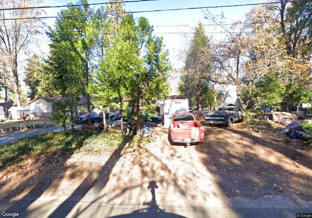
2063 Union Ridge Rd Placerville, CA 95667
Estimated Value: $527,794 - $667,000
3
Beds
4
Baths
1,888
Sq Ft
$307/Sq Ft
Est. Value
About This Home
This home is located at 2063 Union Ridge Rd, Placerville, CA 95667 and is currently estimated at $579,699, approximately $307 per square foot. 2063 Union Ridge Rd is a home located in El Dorado County with nearby schools including Camino Elementary School, El Dorado High School, and El Dorado Adventist School.
Ownership History
Date
Name
Owned For
Owner Type
Purchase Details
Closed on
Oct 15, 2001
Sold by
Shannon Rodger K and Shannon Melissa G
Bought by
Mcclatchy Charles
Current Estimated Value
Home Financials for this Owner
Home Financials are based on the most recent Mortgage that was taken out on this home.
Original Mortgage
$164,000
Interest Rate
6.87%
Create a Home Valuation Report for This Property
The Home Valuation Report is an in-depth analysis detailing your home's value as well as a comparison with similar homes in the area
Home Values in the Area
Average Home Value in this Area
Purchase History
We collect this data history from publicly available records. To have your information removed, we recommend requesting removal directly through your county’s website.
| Date | Buyer | Sale Price | Title Company |
|---|---|---|---|
| Mcclatchy Charles | $205,000 | Placer Title Company |
Source: Public Records
Mortgage History
We collect this data history from publicly available records. To have your information removed, we recommend requesting removal directly through your county’s website.
| Date | Status | Borrower | Loan Amount |
|---|---|---|---|
| Closed | Mcclatchy Charles | $164,000 |
Source: Public Records
Tax History
| Year | Tax Paid | Tax Assessment Tax Assessment Total Assessment is a certain percentage of the fair market value that is determined by local assessors to be the total taxable value of land and additions on the property. | Land | Improvement |
|---|---|---|---|---|
| 2025 | $5,747 | $410,982 | $81,232 | $329,750 |
| 2024 | $5,747 | $402,925 | $79,640 | $323,285 |
| 2023 | $5,640 | $395,026 | $78,079 | $316,947 |
| 2022 | $5,590 | $387,282 | $76,549 | $310,733 |
| 2021 | $5,534 | $379,690 | $75,049 | $304,641 |
| 2020 | $4,042 | $375,798 | $74,280 | $301,518 |
| 2019 | $3,981 | $368,430 | $72,824 | $295,606 |
| 2018 | $3,864 | $361,207 | $71,397 | $289,810 |
| 2017 | $3,791 | $354,126 | $69,998 | $284,128 |
| 2016 | $3,742 | $347,183 | $68,626 | $278,557 |
| 2015 | $3,542 | $341,971 | $67,597 | $274,374 |
| 2014 | $3,542 | $337,036 | $66,274 | $270,762 |
Source: Public Records
Map
Nearby Homes
- 2360 Union Ridge Rd
- 1717 Union Ridge Rd
- 2399 Kingsgate Rd
- 15-acres Old Vineyard Ln
- 3300 Hassler Rd
- 0 Carson Rd
- 9425 Mosquito Rd
- 1818 Smith Flat Rd
- 2909 Greenbrook Dr
- 2500 Highway 50
- 2990 Sippy Ln
- 2984 Sippy Ln Unit A
- 2971 Letitia Ave
- 2900 Parkway Dr Unit 2
- 3085 Texerna Ct
- 1072 Champagne Ln
- 2700 Dancing Oaks Rd
- 2655 Mona Dr
- 1380 Katie Ln
- 2539 Morrene Dr
- 2067 Union Ridge Rd
- 2065 Union Ridge Rd
- 2045 Union Ridge Rd
- 2070 Union Ridge Rd
- 2052 Union Ridge Rd
- 2073 Union Ridge Rd
- 2071 Union Ridge Rd
- 2089 Union Ridge Rd
- 2035 Union Ridge Rd
- 2321 Union Ridge Ct
- 2040 Union Ridge Rd
- 2025 Union Ridge Rd
- 2340 Union Ridge Ct
- 2099 Union Ridge Rd
- 2017 Union Ridge Rd
- 2328 Union Ridge Ct
- 2009 Union Ridge Rd
- 2012 Union Ridge Rd
- 2005 Union Ridge Rd
- 2000 Union Ridge Rd
Your Personal Tour Guide
Ask me questions while you tour the home.