2064 Calhoun Rd Dewy Rose, GA 30634
Estimated Value: $327,771 - $542,000
4
Beds
2
Baths
2,370
Sq Ft
$175/Sq Ft
Est. Value
About This Home
This home is located at 2064 Calhoun Rd, Dewy Rose, GA 30634 and is currently estimated at $414,924, approximately $175 per square foot. 2064 Calhoun Rd is a home located in Elbert County with nearby schools including Elbert County Primary School, Elbert County Elementary School, and Elbert County Middle School.
Ownership History
Date
Name
Owned For
Owner Type
Purchase Details
Closed on
Jul 9, 2002
Sold by
Mize Arnold
Bought by
Dickerson Trilby
Current Estimated Value
Purchase Details
Closed on
Jun 19, 2002
Sold by
Bryant Timmy
Bought by
Mize Arnold
Purchase Details
Closed on
Oct 2, 2001
Sold by
Mize Arnold
Bought by
Bryant Timmy
Purchase Details
Closed on
Aug 16, 2000
Sold by
Harper James B and Harper Sal
Bought by
Womack James L
Purchase Details
Closed on
Feb 16, 1999
Bought by
Harper James B and Harper Sal
Create a Home Valuation Report for This Property
The Home Valuation Report is an in-depth analysis detailing your home's value as well as a comparison with similar homes in the area
Home Values in the Area
Average Home Value in this Area
Purchase History
| Date | Buyer | Sale Price | Title Company |
|---|---|---|---|
| Dickerson Trilby | $13,600 | -- | |
| Mize Arnold | -- | -- | |
| Bryant Timmy | $10,900 | -- | |
| Womack James L | -- | -- | |
| Harper James B | $9,700 | -- |
Source: Public Records
Tax History Compared to Growth
Tax History
| Year | Tax Paid | Tax Assessment Tax Assessment Total Assessment is a certain percentage of the fair market value that is determined by local assessors to be the total taxable value of land and additions on the property. | Land | Improvement |
|---|---|---|---|---|
| 2024 | $2,549 | $108,293 | $11,635 | $96,658 |
| 2023 | $2,117 | $108,293 | $11,635 | $96,658 |
| 2022 | $1,934 | $82,657 | $6,926 | $75,731 |
| 2021 | $1,937 | $82,657 | $6,926 | $75,731 |
| 2020 | $1,681 | $63,859 | $5,540 | $58,319 |
| 2019 | $1,747 | $63,859 | $5,540 | $58,319 |
| 2018 | $1,800 | $63,859 | $5,540 | $58,319 |
| 2017 | $1,729 | $57,021 | $5,540 | $51,481 |
| 2016 | $1,615 | $57,021 | $5,540 | $51,481 |
| 2015 | -- | $56,052 | $5,540 | $50,512 |
| 2014 | -- | $56,052 | $5,540 | $50,512 |
| 2013 | -- | $56,052 | $5,540 | $50,512 |
Source: Public Records
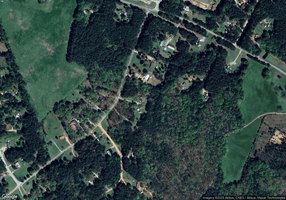
Map
Nearby Homes
- 2110 Cromer Rd Unit GA30
- 1160 Plantation Rd
- 2109 Brewers Mill Rd
- 0 Paul Motes Rd Unit 10631596
- 1136 Flagstone Rd
- 2023 Stephens Rd
- 0 Cromer Rd
- 0 Henry Moon Dr Unit 10452056
- 0 Fortson Dr
- 1 Powerhouse Dr
- 1621 Dickerson Rd
- 15 Emmaus Dr
- 5 Emmaus Dr
- 2 Emmaus Dr
- 20 Emmaus Dr
- 14 Emmaus Dr
- 21 Emmaus Dr
- 19 Emmaus Dr
- 11 Emmaus Dr
- 4 Emmaus Dr
- 2059 Calhoun Rd
- 2053 Calhoun Rd
- 2042 Calhoun Rd
- 1682 Triple T Dr
- 2035 Calhoun Rd
- 2041 Calhoun Rd Unit TRACT C
- 2041 Calhoun Rd
- 2039 Calhoun Rd
- 2037 Calhoun Rd
- 2045 Calhoun Rd
- 0 Thirteen Forks Rd
- 0 Thirteen Forks Rd Unit CM946050
- 0 Thirteen Forks Rd Unit 8306231
- 1269 Thirteen Forks Rd
- 1219 Thirteen Forks Rd
- 1215 Thirteen Forks Rd
- 0 Triple T Dr Unit 3182554
- 0 Triple T Dr Unit 8298034
- 1269 Thirteen Forks Rd NW
- 1269 Thirteen Forks Rd NW