2064 Frost Ave Independence, IA 50644
Estimated Value: $379,000 - $420,000
5
Beds
6
Baths
1,475
Sq Ft
$267/Sq Ft
Est. Value
About This Home
This home is located at 2064 Frost Ave, Independence, IA 50644 and is currently estimated at $393,995, approximately $267 per square foot. 2064 Frost Ave is a home located in Buchanan County with nearby schools including Jesup Elementary School, Jesup Middle School, and Jesup High School.
Ownership History
Date
Name
Owned For
Owner Type
Purchase Details
Closed on
Feb 26, 2010
Sold by
Nie Allan J and Nie Teri L
Bought by
Wright Tony L and Wright Jill R
Current Estimated Value
Home Financials for this Owner
Home Financials are based on the most recent Mortgage that was taken out on this home.
Original Mortgage
$191,920
Outstanding Balance
$127,391
Interest Rate
5.01%
Mortgage Type
New Conventional
Estimated Equity
$266,604
Create a Home Valuation Report for This Property
The Home Valuation Report is an in-depth analysis detailing your home's value as well as a comparison with similar homes in the area
Home Values in the Area
Average Home Value in this Area
Purchase History
| Date | Buyer | Sale Price | Title Company |
|---|---|---|---|
| Wright Tony L | $240,000 | None Available |
Source: Public Records
Mortgage History
| Date | Status | Borrower | Loan Amount |
|---|---|---|---|
| Open | Wright Tony L | $191,920 |
Source: Public Records
Tax History Compared to Growth
Tax History
| Year | Tax Paid | Tax Assessment Tax Assessment Total Assessment is a certain percentage of the fair market value that is determined by local assessors to be the total taxable value of land and additions on the property. | Land | Improvement |
|---|---|---|---|---|
| 2025 | $3,812 | $363,800 | $44,000 | $319,800 |
| 2024 | $3,812 | $301,210 | $39,620 | $261,590 |
| 2023 | $3,698 | $301,210 | $39,620 | $261,590 |
| 2022 | $3,354 | $242,470 | $31,650 | $210,820 |
| 2021 | $3,368 | $242,470 | $31,650 | $210,820 |
| 2020 | $3,368 | $226,360 | $28,750 | $197,610 |
| 2019 | $3,246 | $226,360 | $28,750 | $197,610 |
| 2018 | $3,002 | $217,550 | $28,750 | $188,800 |
| 2017 | $2,908 | $217,550 | $28,750 | $188,800 |
| 2016 | $2,822 | $211,970 | $19,640 | $192,330 |
| 2015 | $2,822 | $211,970 | $19,640 | $192,330 |
| 2014 | $2,902 | $211,970 | $19,640 | $192,330 |
Source: Public Records
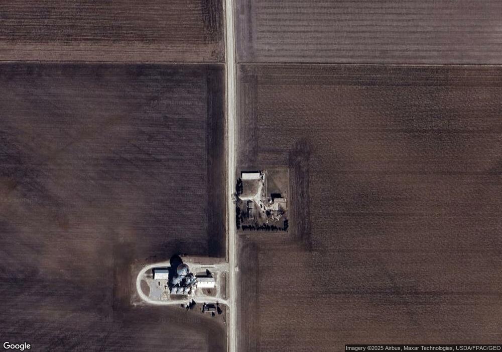
Map
Nearby Homes
- 1675 Golf Course Blvd Unit 28
- 1789 Golf Course Blvd
- 1841 Golf Course Blvd
- 1771-23 Golf Course Blvd
- 1711-12 Golf Course Blvd
- 1771-12 Golf Course Blvd
- 1771-17A Golf Course Blvd
- 1771 Golf Course Blvd Unit 3
- 1771 Golf Course Blvd Unit 27
- 1749 Golf Course Blvd Unit 39
- 1221 220th St
- 1341 12th St
- 1217 220th St
- 1209 220th St
- 401 Obrien Ct NW
- 845 Duroe St
- 0 Benson Ridge Addition Unit Lot 7 20241370
- 0 Benson Ridge Addition Unit Lot 2 20224979
- 0 Benson Ridge Addition Unit Lot 1 20224978
- Lot 4 Benson Shady Grove Ave