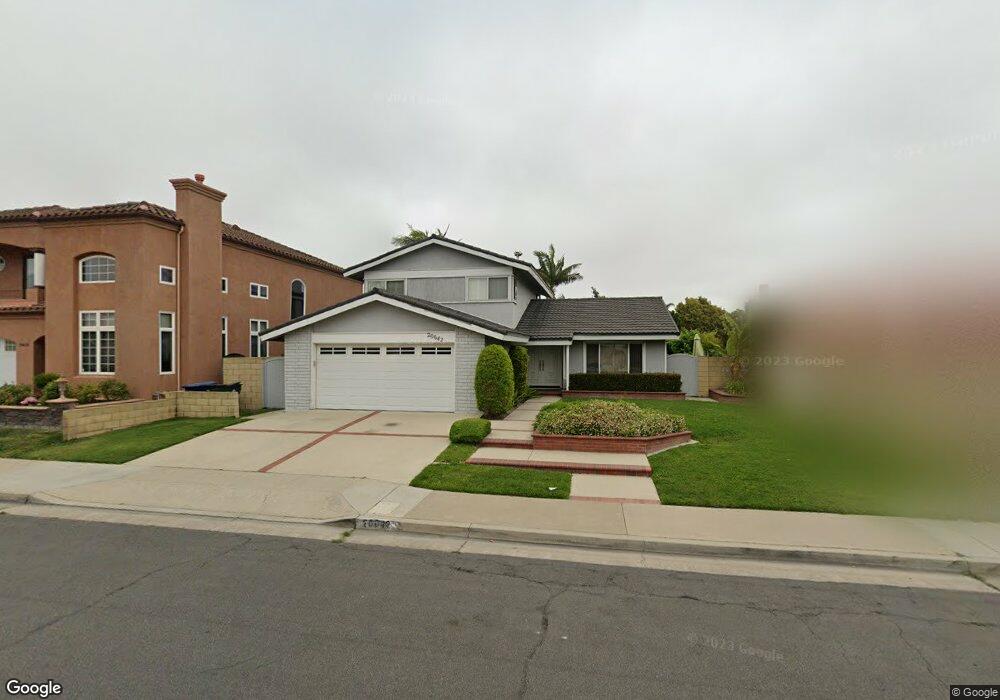
20642 Reef Ln Huntington Beach, CA 92646
Southeast NeighborhoodEstimated Value: $1,473,674 - $1,644,000
4
Beds
3
Baths
1,881
Sq Ft
$843/Sq Ft
Est. Value
About This Home
This home is located at 20642 Reef Ln, Huntington Beach, CA 92646 and is currently estimated at $1,586,169, approximately $843 per square foot. 20642 Reef Ln is a home located in Orange County with nearby schools including Ralph E. Hawes Elementary School, Isaac L. Sowers Middle School, and Edison High School.
Ownership History
Date
Name
Owned For
Owner Type
Purchase Details
Closed on
Jan 6, 2018
Sold by
Osullivan Martha Helen
Bought by
Osullivan Martha Helen
Current Estimated Value
Home Financials for this Owner
Home Financials are based on the most recent Mortgage that was taken out on this home.
Original Mortgage
$453,000
Interest Rate
3.92%
Mortgage Type
New Conventional
Create a Home Valuation Report for This Property
The Home Valuation Report is an in-depth analysis detailing your home's value as well as a comparison with similar homes in the area
Home Values in the Area
Average Home Value in this Area
Purchase History
| Date | Buyer | Sale Price | Title Company |
|---|---|---|---|
| Osullivan Martha Helen | -- | First American Title Co |
Source: Public Records
Mortgage History
| Date | Status | Borrower | Loan Amount |
|---|---|---|---|
| Closed | Osullivan Martha Helen | $453,000 |
Source: Public Records
Tax History Compared to Growth
Tax History
| Year | Tax Paid | Tax Assessment Tax Assessment Total Assessment is a certain percentage of the fair market value that is determined by local assessors to be the total taxable value of land and additions on the property. | Land | Improvement |
|---|---|---|---|---|
| 2025 | $3,239 | $270,509 | $135,767 | $134,742 |
| 2024 | $3,239 | $265,205 | $133,105 | $132,100 |
| 2023 | $3,162 | $260,005 | $130,495 | $129,510 |
| 2022 | $3,077 | $254,907 | $127,936 | $126,971 |
| 2021 | $3,020 | $249,909 | $125,427 | $124,482 |
| 2020 | $2,999 | $247,347 | $124,141 | $123,206 |
| 2019 | $2,964 | $242,498 | $121,707 | $120,791 |
| 2018 | $2,918 | $237,744 | $119,321 | $118,423 |
| 2017 | $2,878 | $233,083 | $116,982 | $116,101 |
| 2016 | $2,756 | $228,513 | $114,688 | $113,825 |
| 2015 | $2,727 | $225,081 | $112,965 | $112,116 |
| 2014 | $2,669 | $220,672 | $110,752 | $109,920 |
Source: Public Records
Map
Nearby Homes
- 9812 La Cresta Cir
- 20392 Redwood Ln
- 20862 Lancelot Ln
- 9522 Yellowstone Dr
- 20442 Craimer Ln
- 21022 Manessa Cir
- 10172 Stonybrook Dr
- 21072 Galbar Cir
- 9802 Effingham Dr
- 9581 Chevy Chase Dr
- 9695 Adams Ave
- 9221 Belcaro Dr
- 20071 Moontide Cir
- 9667 Durham Dr
- 19901 Burnley Ln
- 20111 Marina Ln
- 21361 Lemontree Ln
- 9745 Cornwall Dr
- 21382 Lemontree Ln
- 21221 Hillsdale Ln
- 20632 Reef Ln
- 20652 Reef Ln
- 20641 Tiller Cir
- 20631 Tiller Cir
- 20622 Reef Ln
- 20662 Reef Ln
- 20651 Tiller Cir
- 20621 Tiller Cir
- 20641 Reef Ln
- 20631 Reef Ln
- 20651 Reef Ln
- 20661 Tiller Cir
- 20621 Reef Ln
- 20612 Reef Ln
- 20672 Reef Ln
- 20661 Reef Ln
- 20611 Tiller Cir
- 20611 Reef Ln
- 20671 Tiller Cir
- 20692 Reef Ln