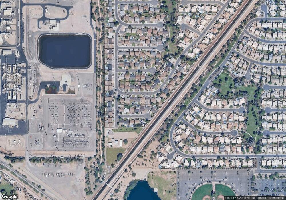
2065 E Devon Rd Gilbert, AZ 85296
East Gilbert NeighborhoodEstimated Value: $426,009 - $510,000
Studio
3
Baths
1,652
Sq Ft
$285/Sq Ft
Est. Value
About This Home
This home is located at 2065 E Devon Rd, Gilbert, AZ 85296 and is currently estimated at $471,502, approximately $285 per square foot. 2065 E Devon Rd is a home located in Maricopa County with nearby schools including Finley Farms Elementary School, Greenfield Junior High School, and American Leadership Academy Gilbert North 7-12.
Ownership History
Date
Name
Owned For
Owner Type
Purchase Details
Closed on
Feb 27, 1998
Sold by
Leo Darren R and Leo Valerie J
Bought by
Rembosky Thomas M and Rembosky Teresa
Current Estimated Value
Home Financials for this Owner
Home Financials are based on the most recent Mortgage that was taken out on this home.
Original Mortgage
$105,800
Outstanding Balance
$19,304
Interest Rate
6.99%
Mortgage Type
New Conventional
Estimated Equity
$452,198
Purchase Details
Closed on
Jun 29, 1995
Sold by
Providence Homes Inc
Bought by
Leo Darren R and Leo Valerie J
Home Financials for this Owner
Home Financials are based on the most recent Mortgage that was taken out on this home.
Original Mortgage
$93,661
Interest Rate
7.9%
Mortgage Type
FHA
Purchase Details
Closed on
Apr 28, 1995
Sold by
Providence Development Inc
Bought by
Providence Homes Inc
Create a Home Valuation Report for This Property
The Home Valuation Report is an in-depth analysis detailing your home's value as well as a comparison with similar homes in the area
Home Values in the Area
Average Home Value in this Area
Purchase History
| Date | Buyer | Sale Price | Title Company |
|---|---|---|---|
| Rembosky Thomas M | $115,000 | Chicago Title Insurance Co | |
| Leo Darren R | $94,529 | Security Title Agency | |
| Providence Homes Inc | $82,712 | Security Title Agency |
Source: Public Records
Mortgage History
| Date | Status | Borrower | Loan Amount |
|---|---|---|---|
| Open | Rembosky Thomas M | $105,800 | |
| Previous Owner | Leo Darren R | $93,661 |
Source: Public Records
Tax History
| Year | Tax Paid | Tax Assessment Tax Assessment Total Assessment is a certain percentage of the fair market value that is determined by local assessors to be the total taxable value of land and additions on the property. | Land | Improvement |
|---|---|---|---|---|
| 2025 | $1,531 | $20,037 | -- | -- |
| 2024 | $1,483 | $19,083 | -- | -- |
| 2023 | $1,483 | $34,430 | $6,880 | $27,550 |
| 2022 | $1,437 | $25,910 | $5,180 | $20,730 |
| 2021 | $1,518 | $24,370 | $4,870 | $19,500 |
| 2020 | $1,494 | $22,470 | $4,490 | $17,980 |
| 2019 | $1,373 | $20,500 | $4,100 | $16,400 |
| 2018 | $1,333 | $18,970 | $3,790 | $15,180 |
| 2017 | $1,287 | $17,610 | $3,520 | $14,090 |
| 2016 | $1,327 | $17,020 | $3,400 | $13,620 |
| 2015 | $1,215 | $16,100 | $3,220 | $12,880 |
Source: Public Records
Map
Nearby Homes
- 2056 E San Tan Ct
- 952 S Canal Dr
- 2284 E Stottler Dr
- 2297 E Cathy Ct
- 2319 E San Tan Dr
- 2336 E San Tan Dr
- 2062 E Arabian Dr
- 1187 S Val Vista Dr
- 1805 E Appaloosa Rd
- 1894 E Palomino Dr
- 2470 E Sheffield Ave
- 1561 E Black Diamond Dr
- 1576 E Jasper Ct Unit E
- 2546 E Camellia Dr Unit 2
- 1735 E Saratoga St
- 1273 S Boulder St Unit A
- 4161 E Pinto Dr
- 4327 E Silo Dr
- 1648 E Palomino Dr
- 1678 E Rawhide St
- 2075 E Devon Rd
- 2057 E Devon Rd
- 2064 E Cathy Ct
- 2074 E Cathy Ct
- 2083 E Devon Rd Unit 1
- 2056 E Cathy Ct
- 2046 E Cathy Ct Unit 1
- 2074 E Devon Rd
- 2056 E Devon Rd
- 2082 E Cathy Ct
- 2039 E Devon Rd
- 2091 E Devon Rd
- 2046 E Devon Rd
- 2084 E Devon Rd
- 2038 E Cathy Ct Unit 1
- 2038 E Devon Rd Unit 1
- 2029 E Devon Rd
- 2087 E Devon Rd Unit 1
- 2065 E Nunneley Ct
- 2065 E Cathy Ct
