2065 Highway 211 NE Statham, GA 30666
Estimated Value: $377,000 - $452,000
3
Beds
3
Baths
1,686
Sq Ft
$253/Sq Ft
Est. Value
About This Home
This home is located at 2065 Highway 211 NE, Statham, GA 30666 and is currently estimated at $426,065, approximately $252 per square foot. 2065 Highway 211 NE is a home located in Barrow County with nearby schools including Statham Elementary School, Bear Creek Middle School, and Winder-Barrow High School.
Ownership History
Date
Name
Owned For
Owner Type
Purchase Details
Closed on
Feb 15, 2007
Sold by
Shirley David E and Shirley Brenda H
Bought by
Smith Randolph S and Smith Monique Y
Current Estimated Value
Home Financials for this Owner
Home Financials are based on the most recent Mortgage that was taken out on this home.
Original Mortgage
$341,050
Outstanding Balance
$204,388
Interest Rate
6.17%
Mortgage Type
New Conventional
Estimated Equity
$221,677
Purchase Details
Closed on
Jun 3, 2005
Sold by
Paulsen Terry J
Bought by
Shirley David E and Shirley Brenda
Home Financials for this Owner
Home Financials are based on the most recent Mortgage that was taken out on this home.
Original Mortgage
$277,650
Interest Rate
5.74%
Mortgage Type
New Conventional
Create a Home Valuation Report for This Property
The Home Valuation Report is an in-depth analysis detailing your home's value as well as a comparison with similar homes in the area
Home Values in the Area
Average Home Value in this Area
Purchase History
| Date | Buyer | Sale Price | Title Company |
|---|---|---|---|
| Smith Randolph S | $359,000 | -- | |
| Shirley David E | $308,500 | -- |
Source: Public Records
Mortgage History
| Date | Status | Borrower | Loan Amount |
|---|---|---|---|
| Open | Smith Randolph S | $341,050 | |
| Previous Owner | Shirley David E | $277,650 |
Source: Public Records
Tax History Compared to Growth
Tax History
| Year | Tax Paid | Tax Assessment Tax Assessment Total Assessment is a certain percentage of the fair market value that is determined by local assessors to be the total taxable value of land and additions on the property. | Land | Improvement |
|---|---|---|---|---|
| 2024 | $3,038 | $126,676 | $58,351 | $68,325 |
| 2023 | $2,612 | $126,676 | $58,351 | $68,325 |
| 2022 | $2,865 | $103,919 | $58,351 | $45,568 |
| 2021 | $2,455 | $84,630 | $41,078 | $43,552 |
| 2020 | $2,465 | $84,844 | $44,820 | $40,024 |
| 2019 | $2,508 | $84,844 | $44,820 | $40,024 |
| 2018 | $2,478 | $84,770 | $44,820 | $39,950 |
| 2017 | $2,234 | $76,718 | $44,820 | $31,898 |
| 2016 | $2,211 | $77,076 | $44,820 | $32,256 |
| 2015 | $2,238 | $77,611 | $44,820 | $32,791 |
| 2014 | $1,596 | $55,586 | $21,962 | $33,624 |
| 2013 | -- | $54,421 | $21,962 | $32,459 |
Source: Public Records
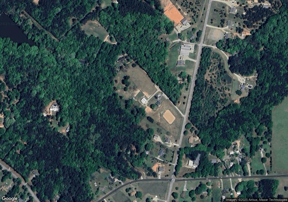
Map
Nearby Homes
- 2075 Georgia Highway 211
- 2075 Highway 211 NE
- 162 Ashton Ln
- 2141 Kirkland Dr
- 133 2nd St
- The Baxley Plan at Statham Place
- The Landon II Plan at Statham Place
- 310 Jacobs Ln
- 532 Hemlock Dr
- 2070 Dooley Town Rd
- 1849 Dooley Town Rd
- 1816 Oak Spring St
- 1593 Highway 82
- 410 Tori Dr
- 226 Baker St
- 0 Georgia 330
- 29 Nunnally Rd SE
- 1920 Brenda St
- 1916 Hearthstone Ct
- 1914 Hearthstone Ct
- 2065 Hwy 211ne
- 2053 Hwy 211ne
- 2053 Highway 211 NE
- 2069 Highway 211 NE
- 2083 Hwy 211 NE
- 2089 Highway 211 NE
- 2047 Highway 211 NE
- 2080 Highway 211 NE
- 1805 Parker Dr
- 2082 Dooley Town Rd
- 2076 Dooley Town Rd
- 000 Highway 211 SE
- 0 Highway 211 SE Unit 7607711
- 0 Highway 211 SE Unit 9020399
- 0 Highway 211 SE Unit 9033282
- 0 Highway 211 SE Unit 8978719
- 0 Highway 211 SE Unit 9008417
- 0 Highway 211 SE Unit 9008408
- 0 Highway 211 SE Unit 8882296
- 0 Highway 211 SE Unit 5662820