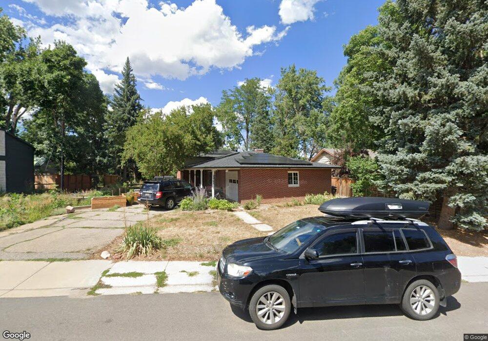
2065 King Ave Boulder, CO 80302
University Hill NeighborhoodEstimated Value: $1,347,000 - $1,463,987
About This Home
This home is located at 2065 King Ave, Boulder, CO 80302 and is currently estimated at $1,413,747, approximately $736 per square foot. 2065 King Ave is a home located in Boulder County with nearby schools including Creekside Elementary School, Manhattan Middle School of the Arts & Academics, and Boulder High School.
Ownership History
We collect this data history from publicly available records. To have your information removed, we recommend requesting removal directly through your county’s website.
Purchase Details
Home Financials for this Owner
Home Financials are based on the most recent Mortgage that was taken out on this home.Purchase Details
Purchase Details
Home Financials for this Owner
Home Financials are based on the most recent Mortgage that was taken out on this home.Purchase Details
Home Financials for this Owner
Home Financials are based on the most recent Mortgage that was taken out on this home.Purchase Details
Home Financials for this Owner
Home Financials are based on the most recent Mortgage that was taken out on this home.Purchase Details
Home Values in the Area
Average Home Value in this Area
Purchase History
We collect this data history from publicly available records. To have your information removed, we recommend requesting removal directly through your county’s website.
| Date | Buyer | Sale Price | Title Company |
|---|---|---|---|
| -- | Land Title Guarantee | ||
| -- | Fidelity National Title | ||
| $703,609 | Heritage Title | ||
| $680,000 | Landamerica | ||
| $520,000 | First Colorado Title | ||
| -- | -- |
Mortgage History
We collect this data history from publicly available records. To have your information removed, we recommend requesting removal directly through your county’s website.
| Date | Status | Borrower | Loan Amount |
|---|---|---|---|
| Open | $377,000 | ||
| Previous Owner | $417,000 | ||
| Previous Owner | $544,000 | ||
| Previous Owner | $416,000 |
Tax History
We collect this data history from publicly available records. To have your information removed, we recommend requesting removal directly through your county’s website.
| Year | Tax Paid | Tax Assessment Tax Assessment Total Assessment is a certain percentage of the fair market value that is determined by local assessors to be the total taxable value of land and additions on the property. | Land | Improvement |
|---|---|---|---|---|
| 2026 | $8,344 | $95,214 | $67,470 | $27,744 |
| 2025 | $8,344 | $95,214 | $67,470 | $27,744 |
| 2024 | $6,988 | $87,513 | $62,013 | $25,500 |
| 2023 | $6,867 | $79,516 | $62,223 | $20,978 |
| 2022 | $6,106 | $65,747 | $51,228 | $14,519 |
| 2021 | $6,743 | $78,336 | $52,703 | $25,633 |
| 2020 | $5,695 | $65,423 | $39,454 | $25,969 |
| 2019 | $6,285 | $73,330 | $44,330 | $29,000 |
| 2018 | $5,736 | $66,161 | $39,744 | $26,417 |
| 2017 | $5,557 | $73,144 | $43,939 | $29,205 |
| 2016 | $4,526 | $52,290 | $33,910 | $18,380 |
| 2015 | $4,286 | $42,904 | $19,820 | $23,084 |
| 2014 | -- | $42,904 | $19,820 | $23,084 |
Map
- 245 Fair Place
- 1930 Columbine Ave
- 2250 Bluebell Ave
- 2029 Columbine Ave
- 2221 Columbine Ave
- 1635 Mariposa Ave
- 2141 Baseline Rd Unit 18
- 1625 Mariposa Ave
- 350 15th St
- 325 27th St
- 830 20th St Unit 209
- 830 20th St Unit 303
- 850 20th St Unit 406
- 850 20th St Unit 502
- 850 20th St Unit 203
- 340 28th St
- 1333 Mariposa Ave
- 255 Bellevue Dr
- 789 15th St
- 935 Broadway St Unit 211
Ask me questions while you tour the home.