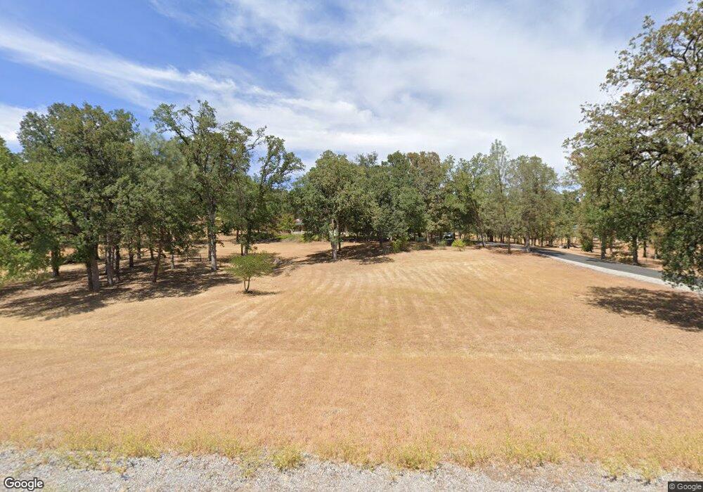
20650 Catka Dr Redding, CA 96003
Estimated Value: $517,000 - $681,000
3
Beds
2
Baths
1,902
Sq Ft
$304/Sq Ft
Est. Value
About This Home
This home is located at 20650 Catka Dr, Redding, CA 96003 and is currently estimated at $578,773, approximately $304 per square foot. 20650 Catka Dr is a home located in Shasta County.
Ownership History
Date
Name
Owned For
Owner Type
Purchase Details
Closed on
Oct 5, 2006
Sold by
Terschuren William A and Terschuren Susan B
Bought by
Terschuren William A and Terschuren Susan B
Current Estimated Value
Purchase Details
Closed on
May 1, 2003
Bought by
Terschuren William A and Terschuren Susan B
Purchase Details
Closed on
Nov 10, 1999
Purchase Details
Closed on
Sep 8, 1999
Sold by
Tr C V R Trust Payne David H & Margare
Home Financials for this Owner
Home Financials are based on the most recent Mortgage that was taken out on this home.
Original Mortgage
$38,250
Interest Rate
7.89%
Create a Home Valuation Report for This Property
The Home Valuation Report is an in-depth analysis detailing your home's value as well as a comparison with similar homes in the area
Purchase History
| Date | Buyer | Sale Price | Title Company |
|---|---|---|---|
| Terschuren William A | -- | None Available | |
| Terschuren William A | $310,000 | Fidelity Natl Title Co Of Ca | |
| -- | $55,000 | First American Title Co | |
| -- | $51,000 | First American Title Co |
Source: Public Records
Mortgage History
| Date | Status | Borrower | Loan Amount |
|---|---|---|---|
| Previous Owner | -- | $38,250 |
Source: Public Records
Tax History
| Year | Tax Paid | Tax Assessment Tax Assessment Total Assessment is a certain percentage of the fair market value that is determined by local assessors to be the total taxable value of land and additions on the property. | Land | Improvement |
|---|---|---|---|---|
| 2025 | $5,530 | $480,845 | $130,338 | $350,507 |
| 2024 | $5,424 | $471,418 | $127,783 | $343,635 |
| 2023 | $5,424 | $462,176 | $125,278 | $336,898 |
| 2022 | $5,256 | $453,115 | $122,822 | $330,293 |
| 2021 | $4,813 | $415,000 | $95,000 | $320,000 |
| 2020 | $4,762 | $411,000 | $90,000 | $321,000 |
| 2019 | $4,339 | $380,000 | $80,000 | $300,000 |
| 2018 | $4,389 | $375,000 | $80,000 | $295,000 |
| 2017 | $4,183 | $355,000 | $80,000 | $275,000 |
| 2016 | $3,853 | $335,000 | $75,000 | $260,000 |
| 2015 | $3,562 | $310,000 | $70,000 | $240,000 |
| 2014 | $3,278 | $280,000 | $60,000 | $220,000 |
Source: Public Records
Map
Nearby Homes
- NSA Bernard Way
- 20700 Bernard Way
- 0 Manzanillo Way Unit 25-2218
- 0 Manzanillo Way Unit 22-4418
- 0 Spring Lake St
- 0 Bear Mountain Rd Unit 26-985
- 13693 Kitty Hawk Ln
- 20114 Vernita Dr
- 13672 Twin Lakes Ln
- 12832 Los Osos St
- 13303 Intermountain Rd
- 0 Wistful Vista Ln Unit 26-735
- 13911 Blue Ridge Dr
- 19902 Little Acres Ln
- 20034 Parocast Rd
- 14020 Windfall Dr
- 20105 Portero Dr
- 19767 Paso Robles Ave
- 13315 Tierra Heights Rd
- 13320 Tierra Heights Rd
Your Personal Tour Guide
Ask me questions while you tour the home.