20650 Nile Ct Peyton, CO 80831
Falcon NeighborhoodEstimated Value: $477,000 - $532,000
4
Beds
3
Baths
2,456
Sq Ft
$203/Sq Ft
Est. Value
About This Home
This home is located at 20650 Nile Ct, Peyton, CO 80831 and is currently estimated at $498,333, approximately $202 per square foot. 20650 Nile Ct is a home located in El Paso County with nearby schools including Peyton Elementary School, Southeast Middle School, and Peyton Senior High School.
Ownership History
Date
Name
Owned For
Owner Type
Purchase Details
Closed on
Aug 13, 2019
Sold by
Saxon Scott W and Saxon Linda R
Bought by
Scott And Linda Saxon Trust
Current Estimated Value
Purchase Details
Closed on
May 25, 1988
Bought by
Saxon Scott W and Saxon Linda R
Purchase Details
Closed on
Nov 30, 1987
Bought by
Saxon Scott W and Saxon Linda R
Purchase Details
Closed on
Sep 14, 1987
Bought by
Saxon Scott W and Saxon Linda R
Purchase Details
Closed on
Aug 14, 1985
Bought by
Saxon Scott W and Saxon Linda R
Create a Home Valuation Report for This Property
The Home Valuation Report is an in-depth analysis detailing your home's value as well as a comparison with similar homes in the area
Home Values in the Area
Average Home Value in this Area
Purchase History
| Date | Buyer | Sale Price | Title Company |
|---|---|---|---|
| Scott And Linda Saxon Trust | -- | None Available | |
| Saxon Scott W | -- | -- | |
| Saxon Scott W | -- | -- | |
| Saxon Scott W | -- | -- | |
| Saxon Scott W | -- | -- |
Source: Public Records
Tax History Compared to Growth
Tax History
| Year | Tax Paid | Tax Assessment Tax Assessment Total Assessment is a certain percentage of the fair market value that is determined by local assessors to be the total taxable value of land and additions on the property. | Land | Improvement |
|---|---|---|---|---|
| 2025 | $939 | $27,810 | -- | -- |
| 2024 | $524 | $26,170 | $4,360 | $21,810 |
| 2023 | $524 | $26,140 | $4,360 | $21,780 |
| 2022 | $318 | $13,830 | $3,440 | $10,390 |
| 2021 | $340 | $14,220 | $3,540 | $10,680 |
| 2020 | $289 | $11,750 | $3,200 | $8,550 |
| 2019 | $284 | $11,750 | $3,200 | $8,550 |
| 2018 | $485 | $9,750 | $2,890 | $6,860 |
| 2017 | $283 | $9,750 | $2,890 | $6,860 |
| 2016 | $261 | $5,270 | $2,990 | $2,280 |
| 2015 | $260 | $5,270 | $2,990 | $2,280 |
| 2014 | $258 | $5,170 | $2,820 | $2,350 |
Source: Public Records
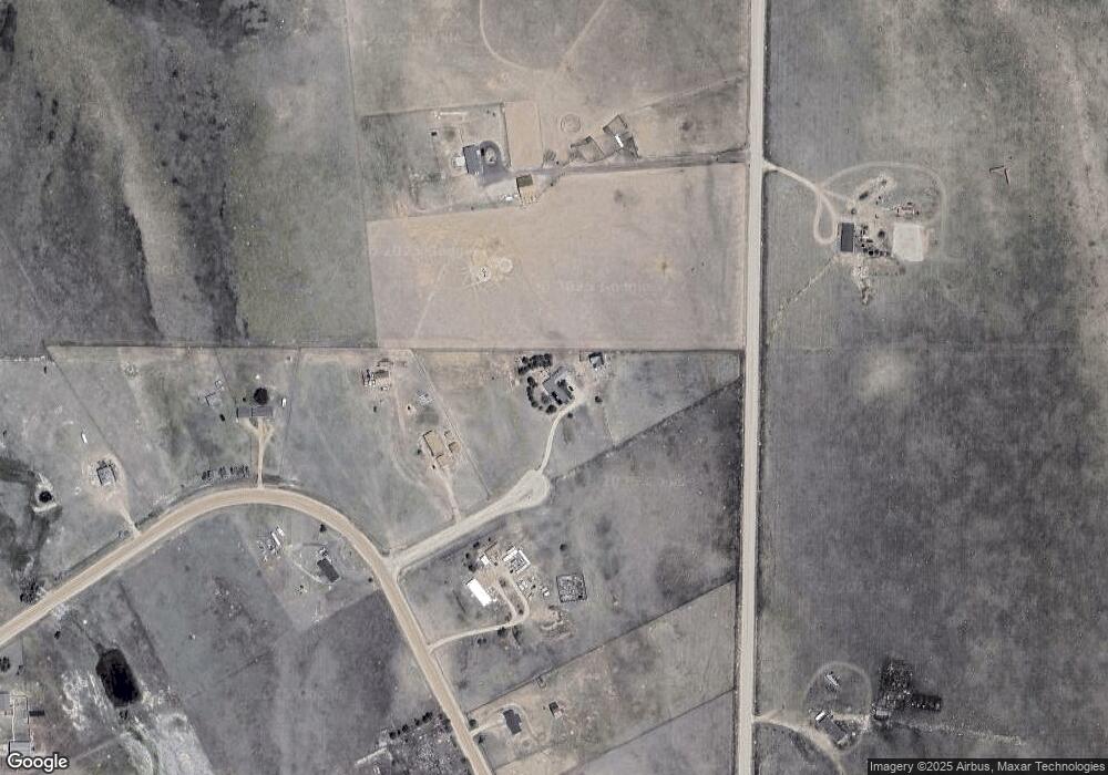
Map
Nearby Homes
- 11950 N Log Rd
- 7545 Log Rd
- 8175 Howdy Partner View
- Parcel 2-7 Peyton Hwy
- 13866 N Log Rd
- LOT 3 J D Johnson Rd
- 3945 J D Johnson Rd
- 7113 Otoole Dr
- 6030 Coyote Ln
- 22255 Falcon Hwy
- 3255 N Log Rd
- 000 Judge Orr Rd
- 18320 Falcon Hwy
- 21785 Spencer Rd
- 7995 Cowboy Ranch View
- 8425 N Ellicott Hwy Unit 1
- 8005 N Ellicott Hwy
- 10165 Mcclelland Rd
- 8155 Cowboy Ranch View
- 23655 E Garrett Rd
- 20620 Nile Ct
- 20625 Nile Ct
- 20555 Sahara Dr
- 20560 Sahara Dr
- 7880 J D Johnson Rd
- 20680 Sahara Dr
- 20720 Sahara Dr
- 7667 J D Johnson Rd
- 20725 Sahara Dr
- 20520 Sahara Dr
- 20780 Sahara Dr
- 20745 Sahara Dr
- 20465 Sahara Dr
- 20520 Oasis Ave
- 20380 Oasis Ave
- 20560 Oasis Ave
- 20765 Sahara Dr
- 20330 Oasis Ave
- 20610 Oasis Ave
- 20785 Sahara Dr