Estimated Value: $62,000 - $343,000
1
Bed
1
Bath
816
Sq Ft
$231/Sq Ft
Est. Value
About This Home
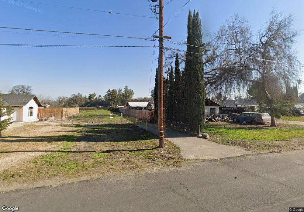
This home is located at 20650 S Pio Pico Ave, Laton, CA 93242 and is currently estimated at $188,685, approximately $231 per square foot. 20650 S Pio Pico Ave is a home with nearby schools including Laton Elementary School, Conejo Middle School, and Laton High School.
Ownership History
Date
Name
Owned For
Owner Type
Purchase Details
Closed on
Sep 16, 2023
Sold by
Anderson Kristi A
Bought by
Anderson Richard Robert
Current Estimated Value
Purchase Details
Closed on
Sep 12, 2023
Sold by
Anderson Kristi A
Bought by
Anderson Richard Robert
Purchase Details
Closed on
Sep 30, 2011
Sold by
Nester Robert P
Bought by
Nester Robert P and Gravance Nester Karen L
Purchase Details
Closed on
Aug 15, 2011
Sold by
Nester Karen Lynn
Bought by
Nester Robert P
Purchase Details
Closed on
Jul 14, 2005
Sold by
Nester Robert P
Bought by
Nester Robert P
Create a Home Valuation Report for This Property
The Home Valuation Report is an in-depth analysis detailing your home's value as well as a comparison with similar homes in the area
Home Values in the Area
Average Home Value in this Area
Purchase History
| Date | Buyer | Sale Price | Title Company |
|---|---|---|---|
| Anderson Richard Robert | -- | None Listed On Document | |
| Anderson Richard Robert | -- | None Listed On Document | |
| Nester Robert P | -- | None Available | |
| Nester Robert P | -- | None Available | |
| Anderson Kristi A | -- | None Available | |
| Nester Robert P | -- | None Available | |
| Nester Robert P | -- | -- |
Source: Public Records
Tax History Compared to Growth
Tax History
| Year | Tax Paid | Tax Assessment Tax Assessment Total Assessment is a certain percentage of the fair market value that is determined by local assessors to be the total taxable value of land and additions on the property. | Land | Improvement |
|---|---|---|---|---|
| 2025 | $280 | $26,684 | $24,278 | $2,406 |
| 2023 | $160 | $15,025 | $10,399 | $4,626 |
| 2022 | $161 | $14,732 | $10,196 | $4,536 |
| 2021 | $158 | $14,445 | $9,997 | $4,448 |
| 2020 | $154 | $14,298 | $9,895 | $4,403 |
| 2019 | $154 | $14,018 | $9,701 | $4,317 |
| 2018 | $152 | $13,744 | $9,511 | $4,233 |
| 2017 | $138 | $13,475 | $9,325 | $4,150 |
| 2016 | $133 | $13,212 | $9,143 | $4,069 |
| 2015 | $131 | $13,014 | $9,006 | $4,008 |
| 2014 | $129 | $12,760 | $8,830 | $3,930 |
Source: Public Records
Map
Nearby Homes
- 6585 Murphy Ave
- 5721 E Riverdale Ave
- 5675 E Letson Ave
- 12837 Douglas Ave
- 0 S Sunnyside Ave
- 7476 E Mount Whitney Ave
- 4603 12th Ave
- 4769 13 1 4 Ave
- 21530 Tiburico Ave
- 0 E Clovis Unit 202404013
- 9 1/2 Avenue
- 1 Davis Ave
- 0 Dover Ave
- 9700 Excelsior Ave
- 5775 N 11th Ave
- 15400 Excelsior Ave
- 8646 Cairo Ave
- 19360 Maple Ave
- 8651 Corona Ave
- 16495 S Minnewawa Ave
- 20666 S Pio Pico Ave
- 20630 S Pio Pico Ave
- 20618 S Pio Pico Ave
- 20634 S Pio Pico Ave
- 6432 E Murphy Ave
- 6408 Murphy Ave
- 6442 Murphy Ave
- 20651 S Pio Pico Ave
- 6452 Murphy Ave
- 6384 E Murphy Ave
- 6384 E Murphy St
- 6384 Murphy Ave
- 20714 S Pio Pico Ave
- 20611 S Pio Pico Ave
- 20590 S Pio Pico Ave
- 6431 Murphy Ave
- 20588 S Pio Pico Ave
- 6366 Murphy Ave
- 6460 E Murphy Ave
- 6366 E Murphy Ave