Estimated Value: $492,773 - $560,000
4
Beds
3
Baths
2,640
Sq Ft
$201/Sq Ft
Est. Value
About This Home
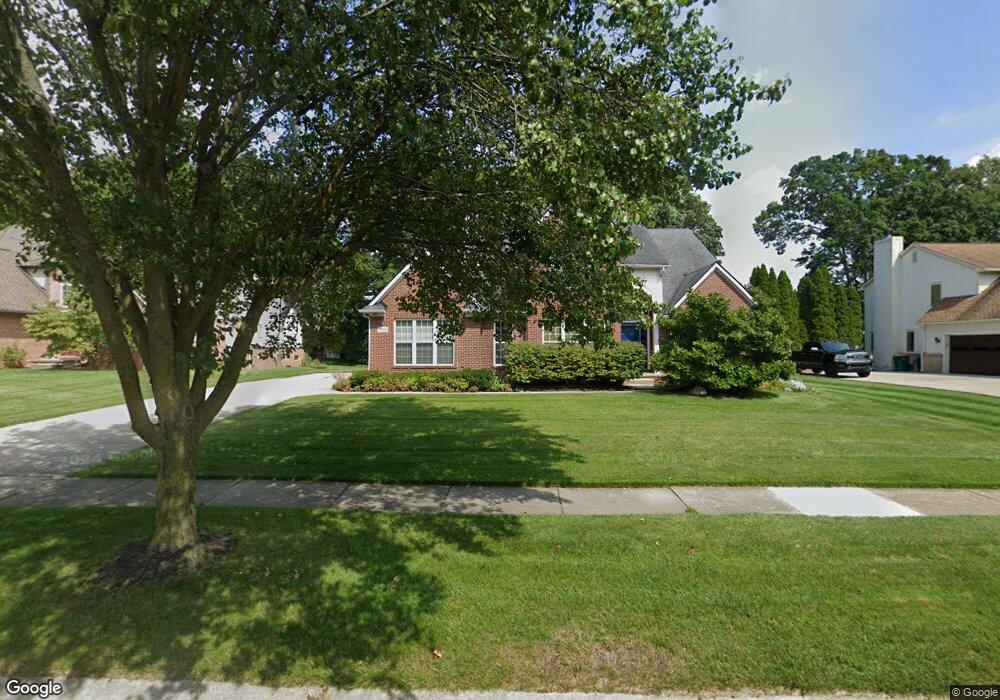
This home is located at 2066 Devonshire Dr, Wixom, MI 48393 and is currently estimated at $529,443, approximately $200 per square foot. 2066 Devonshire Dr is a home located in Oakland County with nearby schools including Wixom Elementary School, Sarah G. Banks Middle School, and Walled Lake Western High School.
Ownership History
Date
Name
Owned For
Owner Type
Purchase Details
Closed on
Jun 17, 2020
Sold by
Cerny Steven E and Cerny Kelley A
Bought by
Cerny Steven E and Cerny Kelley A
Current Estimated Value
Home Financials for this Owner
Home Financials are based on the most recent Mortgage that was taken out on this home.
Original Mortgage
$235,055
Outstanding Balance
$156,899
Interest Rate
2.8%
Mortgage Type
New Conventional
Estimated Equity
$372,544
Purchase Details
Closed on
Mar 24, 2016
Sold by
Cerny Steven E and Cerny Kelley A
Bought by
Cerny Steven E and Cerny Kelley A
Purchase Details
Closed on
Mar 4, 2002
Sold by
Tri-Mount Custom Homes I
Bought by
Cerny Steven E
Create a Home Valuation Report for This Property
The Home Valuation Report is an in-depth analysis detailing your home's value as well as a comparison with similar homes in the area
Home Values in the Area
Average Home Value in this Area
Purchase History
| Date | Buyer | Sale Price | Title Company |
|---|---|---|---|
| Cerny Steven E | -- | Amrock Inc | |
| Cerny Steven E | -- | Amrock Inc | |
| Cerny Steven E | -- | None Available | |
| Cerny Steven E | $313,000 | -- |
Source: Public Records
Mortgage History
| Date | Status | Borrower | Loan Amount |
|---|---|---|---|
| Open | Cerny Steven E | $235,055 |
Source: Public Records
Tax History
| Year | Tax Paid | Tax Assessment Tax Assessment Total Assessment is a certain percentage of the fair market value that is determined by local assessors to be the total taxable value of land and additions on the property. | Land | Improvement |
|---|---|---|---|---|
| 2025 | $5,309 | $235,190 | $0 | $0 |
| 2024 | $4,997 | $226,200 | $0 | $0 |
| 2023 | $4,734 | $217,160 | $0 | $0 |
| 2022 | $4,752 | $186,660 | $0 | $0 |
| 2021 | $4,712 | $184,060 | $0 | $0 |
| 2020 | $4,553 | $177,450 | $0 | $0 |
| 2019 | $4,735 | $176,750 | $0 | $0 |
| 2018 | $4,805 | $166,240 | $0 | $0 |
| 2017 | $4,746 | $161,050 | $0 | $0 |
| 2016 | $4,727 | $157,410 | $0 | $0 |
| 2015 | -- | $148,330 | $0 | $0 |
| 2014 | -- | $125,780 | $0 | $0 |
| 2011 | -- | $113,440 | $0 | $0 |
Source: Public Records
Map
Nearby Homes
- 98 Meadows Cir S Unit 98
- 151 Meadows Cir W Unit 151
- 1709 Weyhill Dr
- 183 Pepperidge Dr
- 3712 Summit Ct
- 1999 Windingway Dr
- 285 Meadows Cir S Unit 285
- 2210 King St Unit 279
- 2231 Evergreen St Unit 269
- 3596 Barberry Cir
- 2218 King St Unit 281
- 3334 Abbey Ln Unit 146
- 2248 Hall Ln Unit 395
- 3320 Reserve Blvd
- 0000 Foal Blvd
- 3500 Mare Cir
- 2314 Brigantine
- 2218 Wixom Rd
- 2610 Ironton Dr
- 2882 Trillium Hills Dr
- 2074 Devonshire Dr
- 2058 Devonshire Dr
- 2083 Downham Dr
- 2065 Downham Dr
- 2089 Downham Dr
- 2082 Devonshire Dr
- 2057 Downham Dr
- 2063 Devonshire Dr
- 2050 Devonshire Dr
- 2091 Downham Dr
- 2069 Devonshire Dr
- 2059 Devonshire Dr
- 2043 Downham Dr
- 2090 Devonshire Dr
- 2077 Devonshire Dr
- 2053 Devonshire Dr
- 2042 Devonshire Dr
- 2025 Downham Dr
- 2085 Devonshire Dr
- 2093 Downham Dr
Your Personal Tour Guide
Ask me questions while you tour the home.