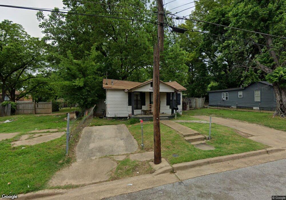
2066 Lowell Ave Memphis, TN 38114
Southeast Memphis NeighborhoodEstimated Value: $41,026 - $81,000
2
Beds
2
Baths
493
Sq Ft
$120/Sq Ft
Est. Value
About This Home
This home is located at 2066 Lowell Ave, Memphis, TN 38114 and is currently estimated at $59,007, approximately $119 per square foot. 2066 Lowell Ave is a home located in Shelby County with nearby schools including Melrose High School, Hanley School - Elementary, and Memphis College Preparatory.
Ownership History
Date
Name
Owned For
Owner Type
Purchase Details
Closed on
Dec 5, 2018
Sold by
Hubbert Courtney M
Bought by
Craft Eddie L
Current Estimated Value
Purchase Details
Closed on
Nov 30, 2018
Sold by
Hubbert William T
Bought by
Craft Eddie L
Purchase Details
Closed on
Feb 11, 2015
Sold by
Progressive Missionary Baptist Church
Bought by
Hubbert William T and Hubbert Courtney M
Purchase Details
Closed on
Dec 17, 2009
Sold by
Roberts Joann and Walker Elijah
Bought by
Progressive Missionary Baptist Church
Purchase Details
Closed on
May 20, 2003
Sold by
Walker Elijah
Bought by
Walker Elijah and Roberts Joann
Create a Home Valuation Report for This Property
The Home Valuation Report is an in-depth analysis detailing your home's value as well as a comparison with similar homes in the area
Home Values in the Area
Average Home Value in this Area
Purchase History
| Date | Buyer | Sale Price | Title Company |
|---|---|---|---|
| Craft Eddie L | -- | None Available | |
| Craft Eddie L | -- | None Available | |
| Hubbert William T | -- | None Available | |
| Progressive Missionary Baptist Church | -- | None Available | |
| Walker Elijah | -- | -- |
Source: Public Records
Tax History Compared to Growth
Tax History
| Year | Tax Paid | Tax Assessment Tax Assessment Total Assessment is a certain percentage of the fair market value that is determined by local assessors to be the total taxable value of land and additions on the property. | Land | Improvement |
|---|---|---|---|---|
| 2025 | $72 | $4,775 | $1,500 | $3,275 |
| 2024 | $72 | $2,125 | $625 | $1,500 |
| 2023 | $129 | $2,125 | $625 | $1,500 |
| 2022 | $129 | $2,125 | $625 | $1,500 |
| 2021 | $154 | $2,125 | $625 | $1,500 |
| 2020 | $132 | $1,825 | $625 | $1,200 |
| 2019 | $58 | $1,825 | $625 | $1,200 |
| 2018 | $58 | $1,825 | $625 | $1,200 |
| 2017 | $60 | $1,825 | $625 | $1,200 |
| 2016 | $82 | $1,875 | $0 | $0 |
| 2014 | $82 | $1,875 | $0 | $0 |
Source: Public Records
Map
Nearby Homes
- 2149 Wabash Ave
- 2151 Goff Ave
- 0 Dublin Ave Unit LOTS 20 & 21 LAST TW
- 1971 Boyle Ave
- 1998 Cloverdale Dr
- 1936 Frisco Ave
- 2255 Deadrick Ave
- 1394 Chadwick Cir
- 1720 Airways Blvd
- 1059 S Willett St S
- 1817 S Barksdale St
- 1816 Kerr Ave
- 1891 S Parkway E
- 2383 Lowell Ave
- 0 S Barksdale St
- 1481 Oaklawn St
- 1493 Oaklawn St
- 2421 Arlington Ave
- 1239 Ethel St
- 1812 Parkway Terrace
- 2064 Lowell Ave
- 2074 Lowell Ave
- 2076 Lowell Ave
- 2080 Lowell Ave
- 1642 Castalia St
- 1644 Castalia St
- 2068 Goff Ave
- 2064 Goff Ave
- 2070 Goff Ave
- 2065 Lowell Ave
- 2071 Lowell Ave
- 2060 Goff Ave
- 2061 Lowell Ave
- 2077 Lowell Ave
- 1628 Castalia St
- 2088 Lowell Ave
- 2080 Goff Ave
- 2084 Goff Ave
- 2083 Lowell Ave
- 1620 Castalia St