2066 Randall Ave Cincinnati, OH 45225
East Westwood NeighborhoodEstimated Value: $20,000 - $313,000
--
Bed
--
Bath
--
Sq Ft
0.86
Acres
About This Home
This home is located at 2066 Randall Ave, Cincinnati, OH 45225 and is currently estimated at $127,000. 2066 Randall Ave is a home located in Hamilton County with nearby schools including Western Hills High School, Gilbert A. Dater High School, and Robert A. Taft Information Technology High School.
Ownership History
Date
Name
Owned For
Owner Type
Purchase Details
Closed on
Sep 28, 2015
Sold by
Mezher Management Inc
Bought by
Watch Hill Management Inc
Current Estimated Value
Purchase Details
Closed on
Jun 8, 2011
Sold by
Ninann Woods Development Co Llc
Bought by
Mezher Management Inc
Purchase Details
Closed on
Oct 16, 2006
Sold by
Moonlight Properties Llc
Bought by
Ninann Woods Development Co Llc
Purchase Details
Closed on
Apr 18, 2001
Sold by
U S Bank National Assn
Bought by
Moonlight Properties Llc
Purchase Details
Closed on
Jul 18, 2000
Sold by
Stewart Monty B
Bought by
U S Bank National Assn
Create a Home Valuation Report for This Property
The Home Valuation Report is an in-depth analysis detailing your home's value as well as a comparison with similar homes in the area
Home Values in the Area
Average Home Value in this Area
Purchase History
| Date | Buyer | Sale Price | Title Company |
|---|---|---|---|
| Watch Hill Management Inc | $48,000 | Attorney | |
| Mezher Management Inc | $48,000 | Attorney | |
| Ninann Woods Development Co Llc | -- | Attorney | |
| Moonlight Properties Llc | $15,100 | -- | |
| U S Bank National Assn | $18,500 | -- |
Source: Public Records
Tax History Compared to Growth
Tax History
| Year | Tax Paid | Tax Assessment Tax Assessment Total Assessment is a certain percentage of the fair market value that is determined by local assessors to be the total taxable value of land and additions on the property. | Land | Improvement |
|---|---|---|---|---|
| 2024 | $246 | $1,750 | $1,750 | -- |
| 2023 | $246 | $1,750 | $1,750 | $0 |
| 2022 | $283 | $2,100 | $2,100 | $0 |
| 2021 | $237 | $2,100 | $2,100 | $0 |
| 2020 | $238 | $2,100 | $2,100 | $0 |
| 2019 | $193 | $2,100 | $2,100 | $0 |
| 2018 | $193 | $2,100 | $2,100 | $0 |
| 2017 | $184 | $2,100 | $2,100 | $0 |
| 2016 | $541 | $6,790 | $2,058 | $4,732 |
| 2015 | $486 | $6,790 | $2,058 | $4,732 |
| 2014 | $489 | $6,790 | $2,058 | $4,732 |
| 2013 | $505 | $6,930 | $2,100 | $4,830 |
Source: Public Records
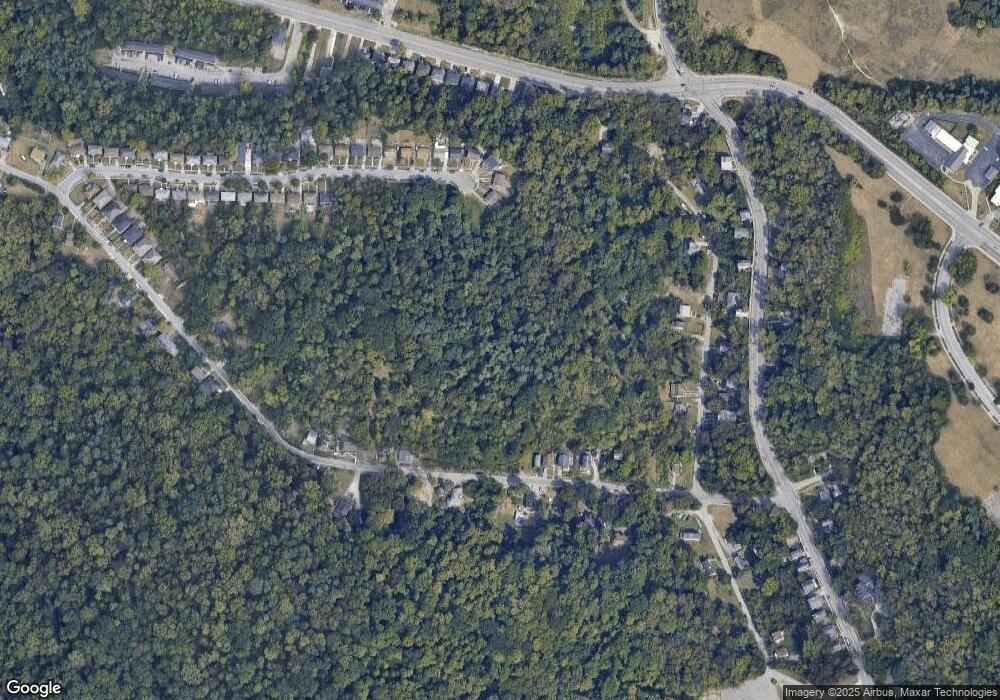
Map
Nearby Homes
- 3407 Ninann Ct
- 3384 Ninann Ct
- 3372 Ninann Ct
- 3295 Fyffe Ave
- 1965 Baltimore Ave
- 2085 N Teralta Cir
- 3353 Saffer St
- 2315 Iroll Ave
- 2828 Ruberg Ave
- 2114 Saint Leo Place
- 3413 Fyffe Ave
- 2962 Aquadale Ln
- 2117 Saint Leo Place
- 2352 Iroll Ave
- 2355 Baltimore Ave
- 2424 Westwood Northern Blvd
- 1854 Carll St
- 2082 Harrison Ave
- 2711 Baker Ave
- 1859 Baltimore Ave
- 2083 Harkness St
- 2062 Yoast Ave
- 2058 Yoast Ave
- 2054 Yoast Ave
- 2048 Yoast Ave
- 2040 Yoast Ave
- 2081 Harkness St
- 2079 Harkness St
- 2085 Harkness St
- 2077 Harkness St
- 2087 Harkness St
- 2063 Yoast Ave
- 2067 Yoast Ave
- 2095 Yoast Ave
- 2036 Yoast Ave
- 3403 Ninann Ct
- 2049 Yoast Ave
- 2041 Yoast Ave
- 2032 Yoast Ave
- 2098 Yoast Ave