2067 Chestnut St Hammonton, NJ 08037
Estimated Value: $516,136 - $599,000
--
Bed
--
Bath
2,562
Sq Ft
$218/Sq Ft
Est. Value
About This Home
This home is located at 2067 Chestnut St, Hammonton, NJ 08037 and is currently estimated at $557,568, approximately $217 per square foot. 2067 Chestnut St is a home located in Atlantic County with nearby schools including Mullica Township Primary School, Mullica Township Elementary & Middle School, and Cedar Creek High School.
Ownership History
Date
Name
Owned For
Owner Type
Purchase Details
Closed on
Nov 30, 1995
Sold by
Ranere Charles
Bought by
Chamberlain John Mark and Chamberlain Wendy Jean
Current Estimated Value
Purchase Details
Closed on
Jul 2, 1990
Sold by
Demarco Anthony J and Demarco Mary S
Bought by
Ranere Charles
Create a Home Valuation Report for This Property
The Home Valuation Report is an in-depth analysis detailing your home's value as well as a comparison with similar homes in the area
Home Values in the Area
Average Home Value in this Area
Purchase History
| Date | Buyer | Sale Price | Title Company |
|---|---|---|---|
| Chamberlain John Mark | $50,000 | Landis Title Corporation | |
| Ranere Charles | $40,000 | -- |
Source: Public Records
Tax History Compared to Growth
Tax History
| Year | Tax Paid | Tax Assessment Tax Assessment Total Assessment is a certain percentage of the fair market value that is determined by local assessors to be the total taxable value of land and additions on the property. | Land | Improvement |
|---|---|---|---|---|
| 2025 | $11,956 | $332,300 | $30,900 | $301,400 |
| 2024 | $11,956 | $332,300 | $30,900 | $301,400 |
| 2023 | $11,335 | $332,300 | $30,900 | $301,400 |
| 2022 | $11,335 | $332,300 | $30,900 | $301,400 |
| 2021 | $10,886 | $332,300 | $30,900 | $301,400 |
| 2020 | $10,604 | $332,300 | $30,900 | $301,400 |
| 2019 | $10,391 | $332,300 | $30,900 | $301,400 |
| 2018 | $8,907 | $189,600 | $24,900 | $164,700 |
| 2017 | $8,900 | $189,600 | $24,900 | $164,700 |
| 2016 | $8,185 | $185,300 | $24,900 | $160,400 |
| 2015 | $7,777 | $185,300 | $24,900 | $160,400 |
| 2014 | $7,688 | $185,300 | $24,900 | $160,400 |
Source: Public Records
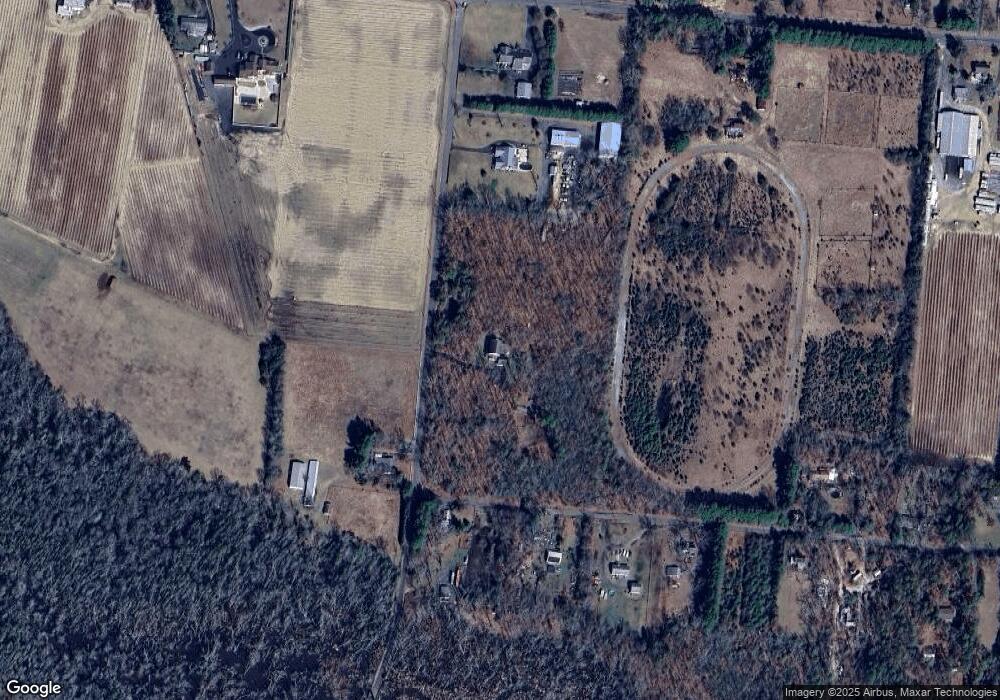
Map
Nearby Homes
- 54 Centennial Dr
- 194 Yorktown Blvd Unit 194
- 36 Dogwood Ln
- 4119 Nesco Rd
- 3142 Moss Mill Rd
- 615 S White Horse Pike
- 557 S White Horse Pike
- 201 7th St
- 415 S White Horse Pike
- 4075 W Adams Cir
- 4528 Indian Cabin Terrace
- 541 Wharton Park Blvd
- 547 Wharton Park Blvd
- 200 Lakeview Dr
- 4160 Anna Dr
- 750 Moss Mill Rd
- 551 Wharton Park Blvd
- 4179 E Adams Cir
- 4166 Anna Dr
- 0 9th St Unit NJAC2019908
- 3325 Moores Ave
- 3339 Moores Ave
- 2115 Chestnut St
- 2050 Chestnut St
- 3347 Moores Ave
- 3355 Moores Ave
- 3223 Nesco Rd
- 3380 Moores Ave
- 3211 Nesco Rd
- 3377 Moores Ave
- 3222 Nesco Rd
- 3218 Nesco Rd
- 3304 Nesco Rd
- 3300 Nesco Rd
- 3361 Moores Ave
- 3314 Nesco Rd
- 3388 Moores Ave
- 3191 Nesco Rd
- 3322 Nesco Rd
- 3405 Moores Ave