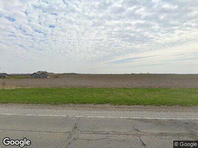
2067 State Highway 123 Ashland, IL 62612
Estimated Value: $157,000 - $273,995
--
Bed
--
Bath
1,372
Sq Ft
$142/Sq Ft
Est. Value
About This Home
This home is located at 2067 State Highway 123, Ashland, IL 62612 and is currently estimated at $194,999, approximately $142 per square foot. 2067 State Highway 123 is a home located in Morgan County with nearby schools including A-C Central Elementary School, A-C Central Middle School, and A-C Central High School.
Ownership History
Date
Name
Owned For
Owner Type
Purchase Details
Closed on
Mar 26, 2021
Sold by
Petefish Ronald R and Petefish Debra D
Bought by
Mcclure Shana C and Petefish Debra D
Current Estimated Value
Purchase Details
Closed on
Apr 21, 2016
Sold by
Petefish Ronald R and Petefish Debra D
Bought by
Ronald R Petefish Living Trust and Petefish Debra D
Purchase Details
Closed on
Oct 9, 2008
Sold by
Petefish Jesse A and Petefish Victoria L
Bought by
Petefish Ronald R and Petefish Debra D
Purchase Details
Closed on
Oct 8, 2001
Sold by
Webb Maion
Bought by
Petefish Jesse
Create a Home Valuation Report for This Property
The Home Valuation Report is an in-depth analysis detailing your home's value as well as a comparison with similar homes in the area
Home Values in the Area
Average Home Value in this Area
Purchase History
| Date | Buyer | Sale Price | Title Company |
|---|---|---|---|
| Mcclure Shana C | -- | None Available | |
| Ronald R Petefish Living Trust | -- | None Available | |
| Petefish Ronald R | $106,000 | None Available | |
| Petefish Jesse | $70,000 | -- |
Source: Public Records
Mortgage History
| Date | Status | Borrower | Loan Amount |
|---|---|---|---|
| Closed | Petefish Ronald R | $41,500 |
Source: Public Records
Tax History Compared to Growth
Tax History
| Year | Tax Paid | Tax Assessment Tax Assessment Total Assessment is a certain percentage of the fair market value that is determined by local assessors to be the total taxable value of land and additions on the property. | Land | Improvement |
|---|---|---|---|---|
| 2023 | $2,802 | $38,460 | $5,810 | $32,650 |
| 2022 | $3,112 | $38,460 | $5,810 | $32,650 |
| 2021 | $2,863 | $33,760 | $5,810 | $27,950 |
| 2020 | $2,545 | $31,220 | $5,810 | $25,410 |
| 2019 | $2,385 | $30,010 | $5,810 | $24,200 |
| 2018 | $2,331 | $30,010 | $5,810 | $24,200 |
| 2017 | $2,387 | $30,010 | $5,810 | $24,200 |
| 2016 | $2,587 | $30,010 | $5,810 | $24,200 |
| 2015 | $2,594 | $30,010 | $5,810 | $24,200 |
| 2014 | $2,594 | $29,390 | $5,700 | $23,690 |
| 2013 | $2,360 | $29,390 | $5,700 | $23,690 |
Source: Public Records
Map
Nearby Homes
- 508 E Franklin St
- 405 N Saratoga St
- 309 N Morgan St
- 0 Rt 125 and Fulton Ln
- 0 Gray Rd
- 603 E Old 36
- 308 Jefferson St
- 409 E 3rd St
- 527 Illinois 125
- 13205 State Route 125 Unit 1
- 67 Ronanderson
- 720 Molly Ln
- 202 W Gibson St Unit 1
- 203 N Olive Unit 1
- 601 E Gibson St Unit 1
- 310 Main St
- 203 N Ewing St
- 307 N Elm St
- 72 Applebee Farms Dr
- 70 Applebee Farms Dr
