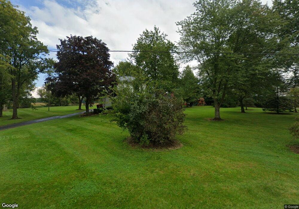
20681 West Rd Wellington, OH 44090
Estimated Value: $506,000 - $524,970
3
Beds
3
Baths
2,433
Sq Ft
$212/Sq Ft
Est. Value
About This Home
This home is located at 20681 West Rd, Wellington, OH 44090 and is currently estimated at $515,485, approximately $211 per square foot. 20681 West Rd is a home located in Lorain County with nearby schools including Keystone Elementary School, Keystone Middle School, and Keystone High School.
Ownership History
Date
Name
Owned For
Owner Type
Purchase Details
Closed on
Sep 15, 2020
Sold by
Carver Jeffrey L and Carver Sarah M
Bought by
Bremke Kyle E and Bremke Cassie M
Current Estimated Value
Home Financials for this Owner
Home Financials are based on the most recent Mortgage that was taken out on this home.
Original Mortgage
$272,000
Interest Rate
2.8%
Mortgage Type
Future Advance Clause Open End Mortgage
Purchase Details
Closed on
Dec 19, 2019
Sold by
Carver Jeffrey L and Carver Sarah M
Bought by
Carver Jeffrey L and Carver Sarah M
Purchase Details
Closed on
Dec 6, 2016
Sold by
Bly Robert R and Bly Mary Jane
Bought by
Carver Jeffrey L and Carver Sarah M
Home Financials for this Owner
Home Financials are based on the most recent Mortgage that was taken out on this home.
Original Mortgage
$240,000
Interest Rate
3.47%
Mortgage Type
New Conventional
Create a Home Valuation Report for This Property
The Home Valuation Report is an in-depth analysis detailing your home's value as well as a comparison with similar homes in the area
Home Values in the Area
Average Home Value in this Area
Purchase History
| Date | Buyer | Sale Price | Title Company |
|---|---|---|---|
| Bremke Kyle E | $320,000 | Guardian Title | |
| Carver Jeffrey L | -- | Guardian Title | |
| Carver Jeffrey L | $300,000 | Old Republic National Title |
Source: Public Records
Mortgage History
| Date | Status | Borrower | Loan Amount |
|---|---|---|---|
| Previous Owner | Bremke Kyle E | $272,000 | |
| Previous Owner | Carver Jeffrey L | $240,000 |
Source: Public Records
Tax History Compared to Growth
Tax History
| Year | Tax Paid | Tax Assessment Tax Assessment Total Assessment is a certain percentage of the fair market value that is determined by local assessors to be the total taxable value of land and additions on the property. | Land | Improvement |
|---|---|---|---|---|
| 2024 | $5,122 | $133,840 | $27,048 | $106,792 |
| 2023 | $3,415 | $74,046 | $19,863 | $54,184 |
| 2022 | $2,864 | $74,046 | $19,863 | $54,184 |
| 2021 | $2,864 | $74,046 | $19,863 | $54,184 |
| 2020 | $4,176 | $74,040 | $19,860 | $54,180 |
| 2019 | $0 | $0 | $0 | $0 |
Source: Public Records
Map
Nearby Homes
- 43750 Peck Wadsworth Rd
- 43311 Peck Wadsworth Rd
- 0 West Rd Unit 5125531
- 43983 State Route 18
- 42744 Webster Rd
- 403 Palomino Ct
- 9 Sunset Dr
- 364 Hickory Run
- 441 Morgan Ct
- 465 Stallion Ct
- 40 Perch Ct
- 510 Arabian Ct
- 17225 Fairway Dr
- 805 Regent Ct
- 228 E Hamilton St
- 207 Grand Ave
- 120 Hale St
- 20101 State Route 301
- 112 Vine St
- 115 Vine St
- 20600 West Rd
- 20668 West Rd
- 20440 West Rd
- 20360 West Rd
- 20297 West Rd
- 20100 West Rd
- 20095 West Rd
- 20064 West Rd
- 21175 West Rd
- 20063 West Rd
- 43525 Peck Wadsworth Rd
- 44245 Peck Wadsworth Rd
- 20037 West Rd
- 21350 West Rd
- 43500 Peck Wadsworth Rd
- 43443 Peck Wadsworth Rd
- 43550 Peck Wadsworth Rd
- 43421 Peck Wadsworth Rd
- 21225 West Rd
- 43600 Peck Wadsworth Rd