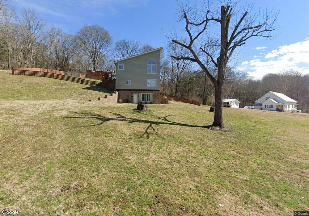
2069 Baker Rd Goodlettsville, TN 37072
Estimated Value: $436,513 - $604,000
3
Beds
2
Baths
2,523
Sq Ft
$212/Sq Ft
Est. Value
About This Home
This home is located at 2069 Baker Rd, Goodlettsville, TN 37072 and is currently estimated at $534,628, approximately $211 per square foot. 2069 Baker Rd is a home located in Davidson County with nearby schools including Goodlettsville Elementary School, Goodlettsville Middle School, and Hunters Lane Comprehensive High School.
Ownership History
Date
Name
Owned For
Owner Type
Purchase Details
Closed on
Apr 26, 2006
Sold by
Morton John Patrick
Bought by
Killeen Sabrena
Current Estimated Value
Home Financials for this Owner
Home Financials are based on the most recent Mortgage that was taken out on this home.
Original Mortgage
$167,182
Outstanding Balance
$96,326
Interest Rate
6.31%
Mortgage Type
Fannie Mae Freddie Mac
Estimated Equity
$438,302
Purchase Details
Closed on
Feb 25, 1999
Sold by
Carver Tim S
Bought by
Morton John Patrick
Home Financials for this Owner
Home Financials are based on the most recent Mortgage that was taken out on this home.
Original Mortgage
$133,000
Interest Rate
6.79%
Create a Home Valuation Report for This Property
The Home Valuation Report is an in-depth analysis detailing your home's value as well as a comparison with similar homes in the area
Home Values in the Area
Average Home Value in this Area
Purchase History
| Date | Buyer | Sale Price | Title Company |
|---|---|---|---|
| Killeen Sabrena | $199,900 | Closing & Title Services Inc | |
| Morton John Patrick | $140,000 | -- |
Source: Public Records
Mortgage History
| Date | Status | Borrower | Loan Amount |
|---|---|---|---|
| Open | Killeen Sabrena | $167,182 | |
| Previous Owner | Morton John Patrick | $133,000 |
Source: Public Records
Tax History Compared to Growth
Tax History
| Year | Tax Paid | Tax Assessment Tax Assessment Total Assessment is a certain percentage of the fair market value that is determined by local assessors to be the total taxable value of land and additions on the property. | Land | Improvement |
|---|---|---|---|---|
| 2024 | $1,827 | $62,525 | $11,475 | $51,050 |
| 2023 | $1,827 | $62,525 | $11,475 | $51,050 |
| 2022 | $1,827 | $62,525 | $11,475 | $51,050 |
| 2021 | $1,846 | $62,525 | $11,475 | $51,050 |
| 2020 | $2,071 | $54,675 | $9,550 | $45,125 |
| 2019 | $1,506 | $54,675 | $9,550 | $45,125 |
| 2018 | $1,506 | $54,675 | $9,550 | $45,125 |
| 2017 | $1,506 | $54,675 | $9,550 | $45,125 |
| 2016 | $1,906 | $48,575 | $10,300 | $38,275 |
| 2015 | $1,906 | $48,575 | $10,300 | $38,275 |
| 2014 | $1,906 | $48,575 | $10,300 | $38,275 |
Source: Public Records
Map
Nearby Homes
- 0 Baker Station Rd
- 1551 Springfield Hwy
- 3250 Freeman Hollow Rd
- 1535 Springfield Hwy
- 2132 Baker Station Rd
- 2205 Kayla Dr
- 1900 Tinnin Rd Unit 11
- 1861 Fox Chase Dr
- 1322 Springfield Hwy
- 4191 Wildflower Way
- 916 Graceland Ct
- 2033 Graceland Dr
- 0 Greer Rd Unit RTC2830717
- 2049 Graceland Dr
- 131 Brookview Cir
- 111 Cascade Ln
- 6270 Lickton Pike
- 2019 Lassiter Dr
- 6272 Lickton Pike
- 2001 Lassiter Dr
- 2225 Baker Rd
- 2217 Baker Rd
- 2212 Baker Rd
- 2202 Baker Rd
- 2048 Old Baker Rd
- 2222 Baker Rd
- 2205 Old Baker Rd
- 2196 Baker Rd
- 2248 Baker Rd
- 2115 Baker Station Rd
- 2199 Old Baker Rd
- 65 Baker Station Rd
- 2190 Baker Rd
- 2228 Baker Rd
- 2024 Old Baker Rd
- 2165 Baker Rd
- 2264 Baker Rd
- 2186 Baker Rd
- 2010 Old Baker Rd
- 2154 Baker Rd