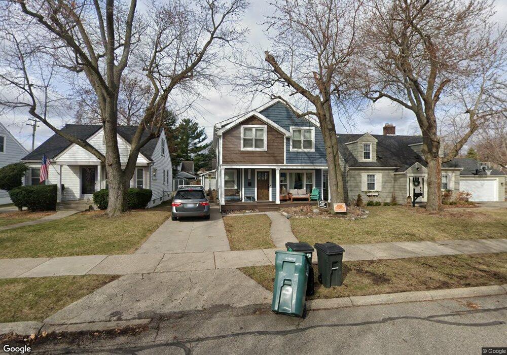
2069 Central St Ferndale, MI 48220
Estimated Value: $386,000 - $553,757
3
Beds
2
Baths
1,235
Sq Ft
$375/Sq Ft
Est. Value
About This Home
This home is located at 2069 Central St, Ferndale, MI 48220 and is currently estimated at $463,439, approximately $375 per square foot. 2069 Central St is a home located in Oakland County with nearby schools including Ferndale Lower Elementary Campus, Ferndale Upper Elementary Campus, and Ferndale Middle School.
Ownership History
Date
Name
Owned For
Owner Type
Purchase Details
Closed on
Sep 30, 2005
Sold by
Killian Michael J and Killian Nichol W
Bought by
Taylor Jonathan and Blatt Amy
Current Estimated Value
Home Financials for this Owner
Home Financials are based on the most recent Mortgage that was taken out on this home.
Original Mortgage
$134,400
Interest Rate
6.2%
Mortgage Type
Purchase Money Mortgage
Purchase Details
Closed on
Aug 28, 2003
Sold by
Killian Michael and Killian Nichol J
Bought by
Killian Michael J and Killian Nichol W
Purchase Details
Closed on
Aug 12, 1999
Sold by
Guirey John
Bought by
Killian Michael
Create a Home Valuation Report for This Property
The Home Valuation Report is an in-depth analysis detailing your home's value as well as a comparison with similar homes in the area
Home Values in the Area
Average Home Value in this Area
Purchase History
| Date | Buyer | Sale Price | Title Company |
|---|---|---|---|
| Taylor Jonathan | $168,000 | None Available | |
| Killian Michael J | -- | Flagstar Title Ins Agency | |
| Killian Michael | $125,000 | -- |
Source: Public Records
Mortgage History
| Date | Status | Borrower | Loan Amount |
|---|---|---|---|
| Previous Owner | Taylor Jonathan | $134,400 |
Source: Public Records
Tax History Compared to Growth
Tax History
| Year | Tax Paid | Tax Assessment Tax Assessment Total Assessment is a certain percentage of the fair market value that is determined by local assessors to be the total taxable value of land and additions on the property. | Land | Improvement |
|---|---|---|---|---|
| 2024 | $8,157 | $255,440 | $0 | $0 |
| 2023 | $7,890 | $243,480 | $0 | $0 |
| 2022 | $7,831 | $228,800 | $0 | $0 |
| 2021 | $4,050 | $98,410 | $0 | $0 |
| 2020 | $3,876 | $98,500 | $0 | $0 |
| 2019 | $3,905 | $91,840 | $0 | $0 |
| 2018 | $3,894 | $82,100 | $0 | $0 |
| 2017 | $3,837 | $80,460 | $0 | $0 |
| 2016 | $3,793 | $70,250 | $0 | $0 |
| 2015 | -- | $58,210 | $0 | $0 |
| 2014 | -- | $52,420 | $0 | $0 |
| 2011 | -- | $47,820 | $0 | $0 |
Source: Public Records
Map
Nearby Homes
- 1114 W Lewiston Ave
- 2015 Central St
- 1941 Hyland St
- 910 W Maplehurst St
- 1924 Pinecrest Dr
- 815 W Oakridge St
- 838 W Oakridge St
- 1364 W Saratoga St
- 93 Oakdale Blvd
- 1526 Albany St
- 8530 Saratoga St
- 629 W Lewiston Ave
- 1668 Albany St
- 8610 Saratoga St
- 1416 Leroy St
- 8431 Roseland Ct
- 619 Withington St
- 437 W Drayton St
- 23210 Ithaca St
- 0 Rosewood St
- 2059 Central St
- 2079 Central St
- 2053 Central St
- 2068 Hyland St
- 2045 Central St
- 2060 Hyland St
- 2080 Hyland St
- 2054 Hyland St
- 2037 Central St
- 2044 Hyland St
- 2036 Hyland St
- 2027 Central St
- 1086 W Lewiston Ave
- 1076 W Lewiston Ave
- 2028 Hyland St
- 1106 W Lewiston Ave
- 1122 W Lewiston Ave
- 2065 Hyland St
- 2081 Hyland St
- 1064 W Lewiston Ave