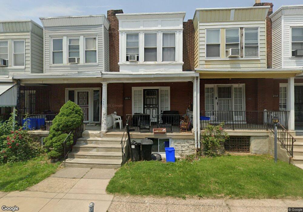
2069 Independence St Philadelphia, PA 19138
West Oak Lane NeighborhoodEstimated Value: $118,082 - $156,000
2
Beds
1
Bath
728
Sq Ft
$200/Sq Ft
Est. Value
About This Home
This home is located at 2069 Independence St, Philadelphia, PA 19138 and is currently estimated at $145,271, approximately $199 per square foot. 2069 Independence St is a home located in Philadelphia County with nearby schools including William Rowen School, Gen. Louis Wagner Middle School, and Martin Luther King High School.
Ownership History
Date
Name
Owned For
Owner Type
Purchase Details
Closed on
Nov 1, 2013
Sold by
Thomas Cornelia G
Bought by
Cook Andre
Current Estimated Value
Home Financials for this Owner
Home Financials are based on the most recent Mortgage that was taken out on this home.
Original Mortgage
$53,600
Outstanding Balance
$40,177
Interest Rate
4.36%
Mortgage Type
New Conventional
Estimated Equity
$105,094
Purchase Details
Closed on
Jun 30, 1998
Sold by
Henderson Marcia
Bought by
Thomas Cornelia G
Create a Home Valuation Report for This Property
The Home Valuation Report is an in-depth analysis detailing your home's value as well as a comparison with similar homes in the area
Home Values in the Area
Average Home Value in this Area
Purchase History
| Date | Buyer | Sale Price | Title Company |
|---|---|---|---|
| Cook Andre | $67,000 | Germantown Title Co | |
| Thomas Cornelia G | $35,000 | -- |
Source: Public Records
Mortgage History
| Date | Status | Borrower | Loan Amount |
|---|---|---|---|
| Open | Cook Andre | $53,600 |
Source: Public Records
Tax History Compared to Growth
Tax History
| Year | Tax Paid | Tax Assessment Tax Assessment Total Assessment is a certain percentage of the fair market value that is determined by local assessors to be the total taxable value of land and additions on the property. | Land | Improvement |
|---|---|---|---|---|
| 2025 | $1,284 | $116,400 | $23,280 | $93,120 |
| 2024 | $1,284 | $116,400 | $23,280 | $93,120 |
| 2023 | $1,284 | $91,700 | $18,340 | $73,360 |
| 2022 | $1,018 | $91,700 | $18,340 | $73,360 |
| 2021 | $1,018 | $0 | $0 | $0 |
| 2020 | $1,018 | $0 | $0 | $0 |
| 2019 | $1,062 | $0 | $0 | $0 |
| 2018 | $1,072 | $0 | $0 | $0 |
| 2017 | $1,072 | $0 | $0 | $0 |
| 2016 | $1,072 | $0 | $0 | $0 |
| 2015 | $942 | $0 | $0 | $0 |
| 2014 | -- | $70,300 | $5,594 | $64,706 |
| 2012 | -- | $10,528 | $1,696 | $8,832 |
Source: Public Records
Map
Nearby Homes
- 2061 Independence St
- 6603 N 21st St
- 2029 Eastburn Ave
- 6824 Rodney St
- 6731 N Woodstock St
- 6733 N Woodstock St
- 2120 66th Ave
- 2070 E Haines St
- 2105 Stenton Ave
- 2115 Stenton Ave
- 2125 Stenton Ave
- 6534 N Lambert St
- 2056 Eastburn Ave
- 6558 Limekiln Pike
- 6600 N Opal St
- 6313 E Wister St
- 6332 E Wister St
- 2152 Stenton Ave
- 2022 66th Ave
- 6648 N 20th St
- 2067 Independence St
- 2071 Independence St
- 2065 Independence St
- 2073 Independence St
- 2075 Independence St
- 2063 Independence St
- 2077 Independence St
- 2079 Independence St
- 2081 Independence St
- 2076 Eastburn Ave
- 2072 Independence St
- 2064 Independence St
- 2078 Eastburn Ave
- 2068 Independence St
- 2066 Independence St
- 2083 Independence St
- 2074 Eastburn Ave
- 2074 Independence St
- 2080 Eastburn Ave
- 2072 Eastburn Ave