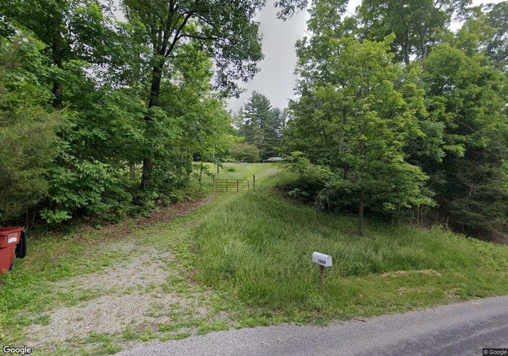
2069 Paugh Rd Unit VACANT Bainbridge, OH 45612
Estimated Value: $131,792 - $155,000
--
Bed
2
Baths
--
Sq Ft
1.13
Acres
About This Home
This home is located at 2069 Paugh Rd Unit VACANT, Bainbridge, OH 45612 and is currently estimated at $143,948. 2069 Paugh Rd Unit VACANT is a home located in Ross County with nearby schools including Paint Valley Elementary School, Paint Valley Middle School, and Paint Valley High School.
Ownership History
Date
Name
Owned For
Owner Type
Purchase Details
Closed on
Apr 21, 2025
Sold by
Evans Daniel E and Evans Gloria K
Bought by
Deere John P and Deere Kristy L
Current Estimated Value
Home Financials for this Owner
Home Financials are based on the most recent Mortgage that was taken out on this home.
Original Mortgage
$133,000
Outstanding Balance
$132,410
Interest Rate
6.65%
Mortgage Type
New Conventional
Estimated Equity
$11,538
Purchase Details
Closed on
Nov 23, 2020
Bought by
Daniel E Evans and Gloria K Evans
Home Financials for this Owner
Home Financials are based on the most recent Mortgage that was taken out on this home.
Interest Rate
2.72%
Purchase Details
Closed on
Jan 22, 2020
Sold by
Estate Of Timothy Hankinson
Bought by
Hankinson Robert J and Hankinson Amanda J
Purchase Details
Closed on
Jun 27, 2014
Sold by
Burns Ladonia Kay
Bought by
Hankinson Timoty
Create a Home Valuation Report for This Property
The Home Valuation Report is an in-depth analysis detailing your home's value as well as a comparison with similar homes in the area
Home Values in the Area
Average Home Value in this Area
Purchase History
| Date | Buyer | Sale Price | Title Company |
|---|---|---|---|
| Deere John P | $140,000 | Chicago Title | |
| Deere John P | $140,000 | Chicago Title | |
| Daniel E Evans | $90,000 | -- | |
| Hankinson Robert J | $250 | None Available | |
| Hankinson Timoty | $60,000 | Attorney |
Source: Public Records
Mortgage History
| Date | Status | Borrower | Loan Amount |
|---|---|---|---|
| Open | Deere John P | $133,000 | |
| Closed | Deere John P | $133,000 | |
| Previous Owner | Daniel E Evans | -- |
Source: Public Records
Tax History Compared to Growth
Tax History
| Year | Tax Paid | Tax Assessment Tax Assessment Total Assessment is a certain percentage of the fair market value that is determined by local assessors to be the total taxable value of land and additions on the property. | Land | Improvement |
|---|---|---|---|---|
| 2024 | $38 | $1,030 | $1,030 | $0 |
| 2023 | $38 | $1,030 | $1,030 | $0 |
| 2022 | $40 | $1,030 | $1,030 | $0 |
| 2021 | $69 | $1,730 | $1,730 | $0 |
| 2020 | $70 | $1,730 | $1,730 | $0 |
| 2019 | $71 | $1,730 | $1,730 | $0 |
| 2018 | $73 | $1,730 | $1,730 | $0 |
| 2017 | $73 | $1,730 | $1,730 | $0 |
| 2016 | $71 | $1,730 | $1,730 | $0 |
| 2015 | $71 | $1,730 | $1,730 | $0 |
| 2014 | $71 | $1,730 | $1,730 | $0 |
| 2013 | $72 | $1,730 | $1,730 | $0 |
Source: Public Records
Map
Nearby Homes
- 8818 State Route 41 N
- 213 S Benner Hill Rd
- 1314 U S 50
- 1314 US Highway 50 W
- 948 Mount Olive Rd
- 2470 Tong Hollow Rd
- 310 W Main St
- 301 N Maple St
- 316 W Main St
- 116 W Main St
- 116 E 3rd St
- 217 S Quarry St
- 316 S Maple St
- 0000 Mount Olive Rd
- 14703 Brier Rd
- 1153 Morton Rd
- 9581 Lower Twin Rd
- 0 Lower Twin Rd
- 329 Kinzer Rd
- 7885 Upper Twin Rd
- 2060 Paugh Rd
- 2033 Paugh Rd
- 2033 Paugh Rd
- 1944 Paugh Rd
- 2393 Paugh Rd
- 1833 Paugh Rd
- 1835 Paugh Rd
- 1790 Paugh Rd
- 177 Garman Ln
- 1758 Paugh Rd
- 1756 Paugh Rd
- 457 Garman Ln
- 1760 Paugh Rd
- 41.88 ac Garman Ln
- 672 Garman Ln
- 0 State Route 41
- 8998 State Route 41
- 412 Garman Ln
- 715 Garman Ln
- 7086 State Route 41 N