2069 Upper High Dr Estes Park, CO 80517
Estimated Value: $682,579 - $902,000
2
Beds
2
Baths
1,312
Sq Ft
$603/Sq Ft
Est. Value
About This Home
This home is located at 2069 Upper High Dr, Estes Park, CO 80517 and is currently estimated at $791,395, approximately $603 per square foot. 2069 Upper High Dr is a home located in Larimer County with nearby schools including Estes Park K-5 School, Estes Park Options School, and Estes Park Middle School.
Ownership History
Date
Name
Owned For
Owner Type
Purchase Details
Closed on
Aug 15, 2018
Sold by
Gunkler Judith Marilyn and Rawsky William Nicholas
Bought by
Gunkler Judith Marilyn and Rawsky William Nicholas
Current Estimated Value
Purchase Details
Closed on
Jan 7, 2008
Sold by
Gunkler Judith Marilyn
Bought by
Gunkler Judith Marilyn and Rawsky William Nicholas
Purchase Details
Closed on
Dec 17, 2007
Sold by
Gunkler Judith Marilyn
Bought by
Gunkler Judith Marilyn and Rawsky William Nicholas
Purchase Details
Closed on
Sep 1, 1993
Sold by
Johnston Barry
Bought by
Gunkler Judith Marilyn
Create a Home Valuation Report for This Property
The Home Valuation Report is an in-depth analysis detailing your home's value as well as a comparison with similar homes in the area
Home Values in the Area
Average Home Value in this Area
Purchase History
| Date | Buyer | Sale Price | Title Company |
|---|---|---|---|
| Gunkler Judith Marilyn | -- | None Available | |
| Gunkler Judith Marilyn | -- | None Available | |
| Gunkler Judith Marilyn | -- | None Available | |
| Gunkler Judith Marilyn | $35,000 | -- |
Source: Public Records
Tax History Compared to Growth
Tax History
| Year | Tax Paid | Tax Assessment Tax Assessment Total Assessment is a certain percentage of the fair market value that is determined by local assessors to be the total taxable value of land and additions on the property. | Land | Improvement |
|---|---|---|---|---|
| 2025 | $3,576 | $49,446 | $28,140 | $21,306 |
| 2024 | $3,231 | $49,446 | $28,140 | $21,306 |
| 2022 | $2,927 | $39,268 | $13,831 | $25,437 |
| 2021 | $3,005 | $40,398 | $14,229 | $26,169 |
| 2020 | $2,953 | $39,111 | $14,229 | $24,882 |
| 2019 | $3,806 | $50,794 | $14,229 | $36,565 |
| 2018 | $3,048 | $39,413 | $13,320 | $26,093 |
| 2017 | $3,065 | $39,413 | $13,320 | $26,093 |
| 2016 | $2,794 | $37,213 | $14,726 | $22,487 |
| 2015 | $2,759 | $37,220 | $14,730 | $22,490 |
| 2014 | $2,563 | $35,530 | $17,910 | $17,620 |
Source: Public Records
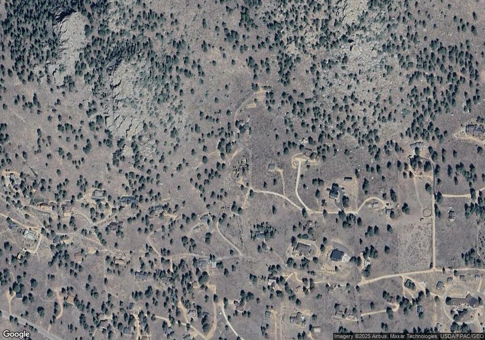
Map
Nearby Homes
- 725 Upper Larkspur Ln
- 739 Larkspur Rd
- 1611 High Dr
- 810 Larkspur Rd
- 811 Larkspur Rd
- 831 Larkspur Rd
- 1565 Highway 66 Unit 46
- 1565 Highway 66 Unit 33
- 1565 Highway 66 Unit 27
- 1565 Highway 66 Unit 49
- 1565 Highway 66 Unit 28
- 1401 High Dr
- 2327 Deer Ridge Dr
- 1575 Lower Broadview Rd
- 2220 Eagle Cliff Rd
- 2238 Eagle Cliff Rd
- 1070 Crestview Ct Unit 7
- 1070 Crestview Ct Unit 4
- 1263 Broadview
- 870 Moraine Ave
- 2040 Tanager Rd
- 2075 Tanager Rd
- 2075 Tanager Rd
- 2080 Tanager Rd
- 2071 Penstemon Dr
- 2012 Tanager Rd
- 2121 High Dr
- 2010 Tanager Rd
- 1970 Tanager Rd
- 1995 High Dr
- 2110 Penstemon Dr
- 2501 High Dr
- 2051 Upper High Dr
- 2060 Upper High Dr
- 2120 Upper High Dr
- 2161 Penstemon Dr
- 2050 Penstemon Dr
- 2160 Upper High Dr
- 1945 Tanager Rd
- 2280 Valerian Ln