207 207 Spring Wheat-Drive- Dundas, MN 55019
Estimated Value: $408,112 - $468,000
4
Beds
3
Baths
1,368
Sq Ft
$324/Sq Ft
Est. Value
About This Home
This home is located at 207 207 Spring Wheat-Drive-, Dundas, MN 55019 and is currently estimated at $442,778, approximately $323 per square foot. 207 207 Spring Wheat-Drive- is a home located in Rice County with nearby schools including Bridgewater Elementary School, Northfield Middle School, and Northfield Senior High School.
Ownership History
Date
Name
Owned For
Owner Type
Purchase Details
Closed on
Sep 12, 2014
Bought by
Lee Gary Gary
Current Estimated Value
Home Financials for this Owner
Home Financials are based on the most recent Mortgage that was taken out on this home.
Original Mortgage
$207,500
Outstanding Balance
$158,737
Interest Rate
4.12%
Estimated Equity
$284,041
Purchase Details
Closed on
May 25, 2011
Sold by
Baker Norlyn D and Baker Janna C
Bought by
Dti Dundas Llc
Purchase Details
Closed on
May 31, 2006
Sold by
Bricko Benjamin A and Bricko Jennifer M
Bought by
Baker Norlyn D and Baker Janna C
Purchase Details
Closed on
Mar 26, 2004
Sold by
College City Homes Inc
Bought by
Bricko Benjamin and Bricko Jennifer
Create a Home Valuation Report for This Property
The Home Valuation Report is an in-depth analysis detailing your home's value as well as a comparison with similar homes in the area
Purchase History
| Date | Buyer | Sale Price | Title Company |
|---|---|---|---|
| Lee Gary Gary | $207,500 | -- | |
| Dti Dundas Llc | $182,500 | -- | |
| Baker Norlyn D | $285,000 | -- | |
| Bricko Benjamin | $235,011 | -- |
Source: Public Records
Mortgage History
| Date | Status | Borrower | Loan Amount |
|---|---|---|---|
| Open | Lee Gary Gary | $207,500 |
Source: Public Records
Tax History
| Year | Tax Paid | Tax Assessment Tax Assessment Total Assessment is a certain percentage of the fair market value that is determined by local assessors to be the total taxable value of land and additions on the property. | Land | Improvement |
|---|---|---|---|---|
| 2025 | $7,818 | $394,800 | $94,800 | $300,000 |
| 2024 | $7,818 | $366,800 | $86,400 | $280,400 |
| 2023 | $7,022 | $366,800 | $86,400 | $280,400 |
| 2022 | $6,534 | $340,100 | $84,300 | $255,800 |
| 2021 | $6,274 | $283,200 | $69,600 | $213,600 |
| 2020 | $5,868 | $259,300 | $55,000 | $204,300 |
| 2019 | $6,460 | $253,400 | $55,000 | $198,400 |
| 2018 | $6,328 | $239,300 | $55,000 | $184,300 |
| 2017 | $5,806 | $226,800 | $55,000 | $171,800 |
| 2016 | $5,794 | $219,900 | $55,000 | $164,900 |
| 2015 | $4,228 | $207,500 | $47,400 | $160,100 |
| 2014 | -- | $207,500 | $47,400 | $160,100 |
Source: Public Records
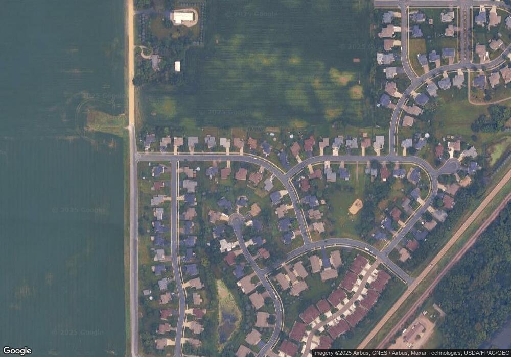
Map
Nearby Homes
- 502 Springwheat Dr
- 514 Miller Ln
- 210 Mill St W
- 8 West Ave W
- 0 West Ave W
- xxx Weaver Rd
- TBD Minnesota 3
- 2068 Millersburg Blvd W
- Outlot Honeylocust Dr
- 2718 Brockman Ct Unit 714
- 2804 Oak Lawn Dr
- 1900 Jefferson Rd
- 2300 Pepper Ridge Ln
- 2204 Valley Dr
- 276 Tower Ave
- 283 Tower Ave
- 513 Cannon Way
- 555 Cannon Way
- 501 French Ln
- 2105 Lincoln St S
- 207 Spring Wheat Dr
- 207 Springwheat Dr
- 203 Springwheat Dr
- 211 Springwheat Dr
- 519 Waterwheel Cir
- 514 Springwheat Dr
- 514 Spring Wheat Dr
- Xxxx Spring Wheat Dr
- 215 Springwheat Dr
- 515 Waterwheel Cir
- 142 Miller Ln
- 522 Waterwheel Cir
- 210 Springwheat Dr
- 206 Springwheat Dr
- 206 Spring Wheat Dr
- 510 Springwheat Dr
- 510 Spring Wheat Dr
- 214 Springwheat Dr
- 219 Springwheat Dr
- 511 Waterwheel Cir
Your Personal Tour Guide
Ask me questions while you tour the home.